Allenspark Dispersed Camping
Campground
Campground · 0.3 mi from the trail
Alert in the area
The Forest Service lists 3 alerts for Arapaho and Roosevelt National Forests.
Fire Restrictions
Agency alert covering Arapaho and Roosevelt National Forests · USFS · Arapaho and Roosevelt National Forests
Caribou Road Closure Order
Agency alert covering Boulder Ranger District · Order 02-10-01-26-04 · USFS · Boulder Ranger District
Raptor Nesting Area Closure - Boulder Ranger District
Agency alert covering Boulder Ranger District · Order 02-10-01-26-06 · USFS · Boulder Ranger District
As of · Source: USFS · Arapaho and Roosevelt National Forests. Agencies don't list every closure — check before you go.
Coulson Gulch is a 3.7-mile out-and-back hike in the Boulder Ranger District of the Arapaho and Roosevelt National Forests in Colorado, managed by the Forest Service. The trail starts at the Coulson Gulch Trailhead, and the route rises from about 7,650 feet to a high point of 7,659 feet, with a total elevation gain of 1,554 feet over the round trip. The climb is steepest around mile 1.2, where the grade reaches about 26 percent. The trail is rated moderate and is open year-round. The trailhead parking is at the Coulson Gulch Trailhead, and the hike takes about two hours. The route is natural-surface and allows both horses and bikes. Summer is the most comfortable time to go. Typical averages from a nearby weather station in Estes Park show July highs around 80°F with lows near 48°F, while winter highs stay in the mid-30s. The trail sits close to other outdoor options. The Crash'n mountain bike trail is about 0.6 miles away, and The Sanctuary climbing area is about 1.1 miles off. North Saint Vrain Creek, a paddling route, is about 2.7 miles away, and Meeker Park Overflow Campground is about 6.5 miles away.
Allenspark Dispersed Camping
Campground
Rock Creek Tavern and Pizzeria
Restaurant
 If it rainsMatt Golon, CC BY-SA 3.0 · Wikimedia Commons
Places © OpenStreetMap contributors · Photos: Matt Golon, CC BY-SA 3.0 (commons)
More in Estes ParkNot on Roamze yet. Their page has how to reach them.
Best months: May–June and September. Best months have typical highs of 55–85 °F, lows of 30 °F or warmer (32 °F where the station doesn't record snow), at most one snowy day and no more than 12 wet days.
Jan
37° / 16°
7 wet
Feb
38° / 16°
8 wet
Mar
45° / 21°
9 wet
Apr
52° / 26°
10 wet
May
61° / 35°
12 wet
Jun
74° / 43°
10 wet
Jul
80° / 48°
13 wet
Aug
78° / 46°
13 wet
Sep
70° / 39°
9 wet
Oct
57° / 30°
7 wet
Nov
44° / 23°
6 wet
Dec
36° / 16°
7 wet
Typical high / low (°F) and days with rain or snow, 1991–2020. Measured at Estes Park 3 Sse, CO, 8.9 mi away at 7,812 ft. This station doesn't record snowfall. Source: NOAA NCEI U.S. Climate Normals 1991–2020.
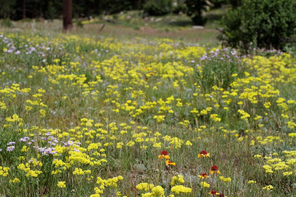 Photo: KimonBerlin, CC BY-SA 2.0 (via Flickr)
Engert Homestead
~7 min drive
1.46-mile out-and-back trail at Engert Homestead in Colorado
 Photo: Max and Dee, CC BY 2.0 (via Flickr)
Coffintop
~10 min drive
6.08-mile out-and-back hike in Colorado's Arapaho and Roosevelt National Forests.
HIKE
Cook Mountain Summit (unmaintained)
~3 min drive
1.62-mile out-and-back to Cook Mountain Summit in Colorado with 537 ft gain
 Photo: KimonBerlin, CC BY-SA 2.0 (via Flickr)
Irvin Homestead
~8 min drive
1.67-mile out-and-back trail at Irvin Homestead in Colorado
HIKE
Button Rock Mountain Trail
~5 min drive
3.20-mile out-and-back trail in Colorado with 1,800 ft elevation gain.
HIKE
North Sheep Mountain
~3 min drive
4.38-mile out-and-back trail in Colorado reaching 8,409 ft.
 Photo: Andrew Parlette — CC BY 2.0 (via Flickr)
Wagener Trail
~10 min drive
Wagener Trail is a 2.24-mile trail in Colorado with 400 feet of elevation gain.
HIKE
Lion Gulch
~8 min drive
7.19-mile out-and-back trail in Colorado with 1,181 ft elevation gain.
HIKE
South Shore Trail
~5 min drive
1.72-mile out-and-back trail in Colorado with 901 ft gain/loss.
HIKE
Dave's Loop
~2 min drive
1.4-mile out-and-back trail in Colorado with 222 ft elevation gain

