Allenspark Dispersed Camping
Campground
Campground · 1.2 mi from the trail
Alert in the area
The Forest Service lists 3 alerts for Arapaho and Roosevelt National Forests.
Fire Restrictions
Agency alert covering Arapaho and Roosevelt National Forests · USFS · Arapaho and Roosevelt National Forests
Caribou Road Closure Order
Agency alert covering Boulder Ranger District · Order 02-10-01-26-04 · USFS · Boulder Ranger District
Raptor Nesting Area Closure - Boulder Ranger District
Agency alert covering Boulder Ranger District · Order 02-10-01-26-06 · USFS · Boulder Ranger District
As of · Source: USFS · Arapaho and Roosevelt National Forests. Agencies don't list every closure — check before you go.
Button Rock Mountain is a summit of 8,443 feet in the Boulder Ranger District of the Arapaho and Roosevelt National Forests in Colorado, about 6.5 miles from the town of Lyons. Summer is the most comfortable time to visit. Typical averages from a nearby weather station at a similar elevation show July highs around 74°F with lows near 44°F, while winter highs stay around freezing. The Button Rock Mountain Loop hike starts about 0.3 miles away, and the Black Slabbath mountain biking trail is about 0.2 miles off. Climbers can head to the North Fork of the St. Vrain River, about 0.7 miles away, and paddlers will find North Saint Vrain Creek roughly 3.8 miles from the summit.
Allenspark Dispersed Camping
Campground
 If it rainsMatt Golon, CC BY-SA 3.0 · Wikimedia Commons
Places © OpenStreetMap contributors, Places © Overture Maps Foundation · Photos: Matt Golon, CC BY-SA 3.0 (commons)
More in Estes ParkDaily highs and lows, wind and the chance of precipitation at the summit for the next 7 days, from the Open-Meteo model.
Elevation from USGS 3D Elevation Program terrain data (about 10 m resolution).
We don't know of a mapped trail or route to the summit of Button Rock Mountain. Plan the approach with local maps, a guidebook or a local guide, and check conditions before you go.
8,443 ft (2,573 m).
We don't know of a mapped trail or route to the summit. Plan the approach with local maps, a guidebook or a local guide.

 North Saint Vrain CreekCanoeingPhoto: Hogs555, CC BY-SA 3.0 (via Wikimedia Commons)3.8 mi
Source: Roamze catalog (indexable pages within 10 miles, PostGIS distance)
 Mount MeekerSummit · ~20 min drivePhoto: Hogs555, CC BY-SA 3.0 (via Wikimedia Commons)
 Longs PeakSummit · ~21 min drivePhoto: Photo by Scott Bauer., Public domain (via Wikimedia Commons)
 Pagoda MountainSummit · ~22 min drivePhoto: Mark Levisay, CC BY 2.0 (via Wikimedia Commons)
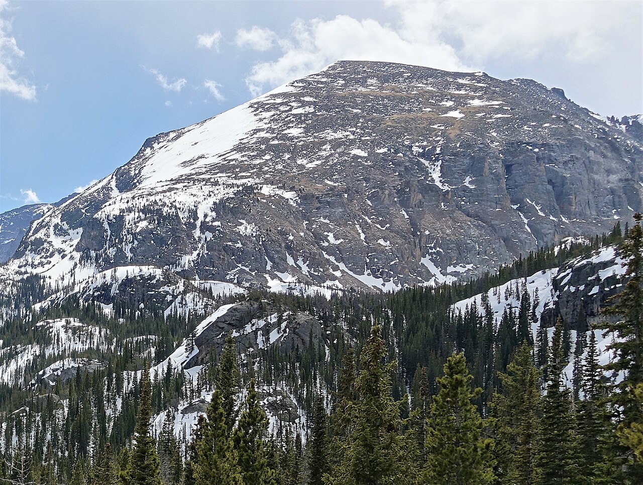 ThatchtopSummit · ~24 min drivePhoto: Scott McLeod, CC BY 3.0 (via Wikimedia Commons)
 McHenrys PeakSummit · ~25 min drivePhoto: Martin Bravenboer, CC BY 2.0 (via Wikimedia Commons)
 Powell PeakSummit · ~25 min drivePhoto: Thomson200, CC0 (via Wikimedia Commons)
 Mount AliceSummit · ~25 min drivePhoto: John Mayer, CC BY 2.0 (via Wikimedia Commons)
 Sawtooth MountainSummit · ~26 min drivePhoto: Niranjan Arminius, CC BY-SA 4.0 (via Wikimedia Commons)
 Mount AudubonSummit · ~28 min drivePhoto: Leavit2stever, CC BY-SA 4.0 (via Wikimedia Commons)
 Hallett PeakSummit · ~28 min drivePhoto: rjones0856, CC BY 2.0 (via Wikimedia Commons)
Best months: May–September. Best months have typical highs of 55–85 °F, lows of 30 °F or warmer (32 °F where the station doesn't record snow), at most one snowy day and no more than 12 wet days.
Jan
32° / 14°
Feb
35° / 15°
Mar
42° / 20°
Apr
46° / 23°
May
56° / 32°
Jun
69° / 38°
Jul
74° / 44°
Aug
73° / 43°
Sep
66° / 36°
Oct
52° / 29°
Nov
41° / 20°
Dec
33° / 14°
Typical high / low (°F) and days with rain or snow, 1991–2020. Measured at Allenspark 3nw, CO, 7.2 mi away at 8,500 ft. This station doesn't record snowfall. Source: NOAA NCEI U.S. Climate Normals 1991–2020.
