Black Bear Cabin
Campground
Campground · 3.5 mi from the trail
Coon Creek Trail is an easy, out-and-back hike in Colorado, about 2.7 miles from the small community of John Held Corner. The route is 2.4 miles long, with a total climb of 415 feet from the low point at 7,536 feet to the high point at 7,724 feet. The trail is front-loaded, with the steepest stretch of about 12% grade beginning roughly 0.28 miles from the start. The entire trip takes about an hour. Summer is the most comfortable time to go. Typical averages from a nearby weather station at Cedaredge show June highs around 79°F and September highs around 74°F, with July the warmest month at about 86°F. That station sits nearly 900 feet lower than the trail, so temperatures on the hike run cooler. Several other spots lie within a few miles. Crum Reservoir Trail is about 3.4 miles away, and Jumbo Lake Campground is about 3.5 miles off. For mountain biking, Mesa Creek is about 2.9 miles away. Climbers can head to Kannah Creek Wall, roughly 7 miles out.
Black Bear Cabin
Campground
 If it rainsJeffrey Beall, CC BY-SA 3.0 · Wikimedia Commons
Places © OpenStreetMap contributors, Places © Overture Maps Foundation · Photos: Jeffrey Beall, CC BY-SA 3.0 (commons)
More in CliftonNot on Roamze yet. Their page has how to reach them.
 Crum Reservoir TrailHikingPhoto: cogdogblog, CC BY 2.0 (via Flickr)3.4 mi
Source: Roamze catalog (indexable pages within 10 miles, PostGIS distance)
Crum Reservoir TrailHiking · ~6 min drivePhoto: cogdogblog, CC BY 2.0 (via Flickr) GRIFFITH SKI LOOPHiking · ~8 min drivePhoto: Moo.The.Cow, CC BY 2.0 (via Flickr)
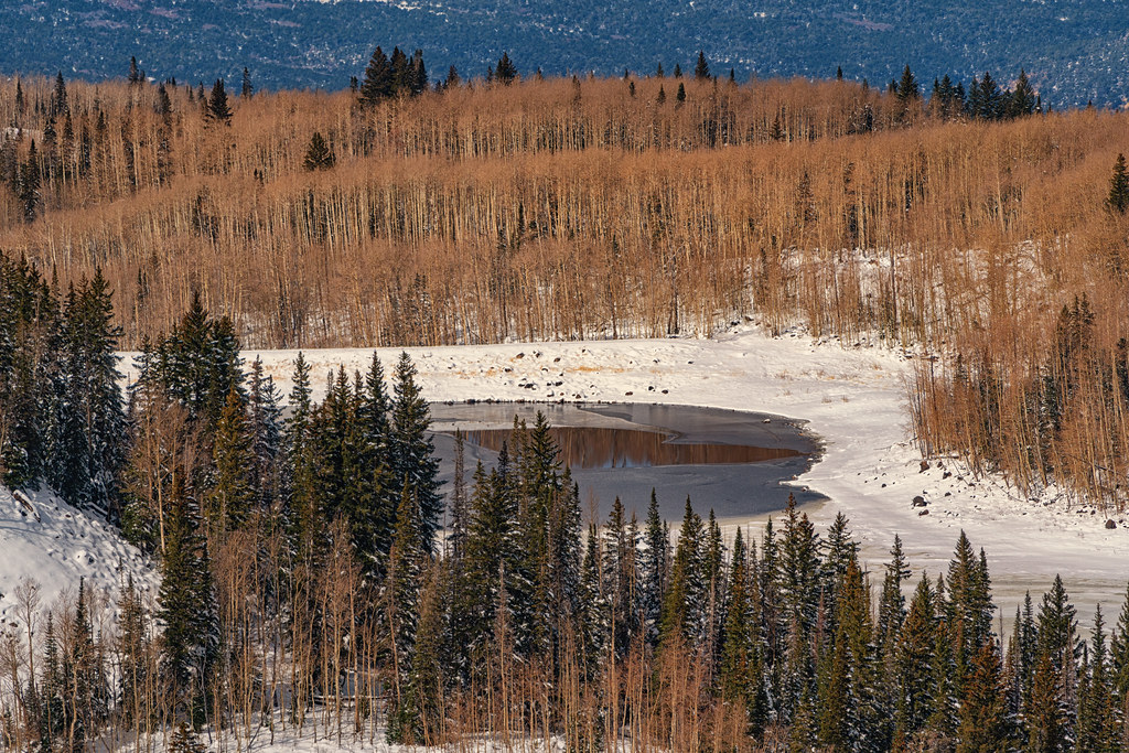 Kannah CrossingHiking · ~9 min drivePhoto: Tony Webster, CC BY 2.0 (via Flickr)Glacier Springs Cutoff TrailHiking · ~7 min drivePhoto: cogdogblog, CC BY 2.0 (via Flickr)
 Mesa TopHiking · ~11 min drivePhoto: KimonBerlin, CC BY-SA 2.0 (via Flickr)
 Grand Mesa National Scenic & Historic BywayHiking · ~13 min drivePhoto: iagoarchangel, CC BY-SA 2.0 (via Flickr)
 Mesa Lake ShoreHiking · ~7 min drivePhoto: halseike, CC BY 2.0 (via Flickr)
 Crag Crest National Recreation TrailHiking · ~14 min drivePhoto: iagoarchangel, CC BY-SA 2.0 (via Flickr)CottonwoodHiking · ~14 min drivePhoto: iagoarchangel, CC BY-SA 2.0 (via Flickr)GRIFFITH SKI CUTOFFHiking · ~7 min drivePhoto: Moo.The.Cow, CC BY 2.0 (via Flickr)
Best months: April–June and August–October. Best months have typical highs of 55–85 °F, lows of 30 °F or warmer (32 °F where the station doesn't record snow), at most one snowy day and no more than 12 wet days.
Jan
36° / 19°
6 wet · 5 snow
Feb
40° / 22°
6 wet · 4 snow
Mar
50° / 29°
5 wet · 3 snow
Apr
58° / 35°
6 wet · 1 snow
May
68° / 44°
6 wet
Jun
79° / 53°
4 wet
Jul
86° / 59°
7 wet
Aug
83° / 57°
8 wet
Sep
74° / 49°
7 wet
Oct
61° / 38°
7 wet
Nov
47° / 28°
4 wet · 2 snow
Dec
37° / 19°
6 wet · 5 snow
Typical high / low (°F) and days with rain or snow, 1991–2020. Measured at Cedaredge 3e, CO, 18.2 mi away at 6,838 ft. The station sits about 900 ft lower than this place, so expect it a little cooler here. Source: NOAA NCEI U.S. Climate Normals 1991–2020.
Map and trail data © OpenStreetMap contributors

