

RV Ranch at Grand Junction
Hiking business nearby (~22 mi away) — hasn't claimed their Roamze page yet
Free — you'll pick up right here.
Watch this trail
Sign up to watch it — saving subscribes you to gate, closure and report changes.
Colorado
15.5 mi
Distance
440 ft
Gain
We won't guess. Here is exactly what we do and don't know.
What we do know
Inside Grand Mesa, Uncompahgre and Gunnison National Forests
2 managing-area boundaries mapped — agency alerts for them feed this page automatically.
Boundary data
What's missing
No access route mapped
We don't yet know which road reaches this trailhead, so we can't tell you if it's gated.
Nobody's filed a report here yet — be the first.
Why you'll love it
Mesa Top
AI-suggested draft · review before you go
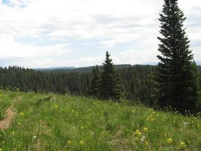
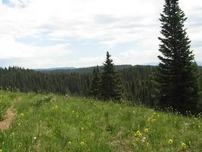
Mesa Top is a 15.5-mile out-and-back trail located in Colorado near the Colorado area, managed by the Medicine Bow-Routt National Forest Parks Ranger District. This trail offers hikers an extended backcountry experience through national forest lands in northern Colorado. The out-and-back format allows hikers to turn back at any point along the route, making it adaptable for various fitness levels and time constraints. The trail traverses mesa terrain characteristic of the Medicine Bow-Routt region, providing scenic views typical of the Colorado high country. The full 15.5-mile roundtrip distance makes this suitable for experienced day hikers or those planning an overnight backpacking trip. Hikers should be prepared for a substantial adventure and plan accordingly. Being located within a national forest, the trail is open to the public and maintained by the managing ranger district. For current trail conditions, detailed elevation profiles, and specific access information, contact the Parks Ranger District directly or visit the Medicine Bow-Routt National Forest official resources.

Lands End Upper Connection Sno
~1 min drive
12 mi · Hard

Tower
~2 min drive
5.0 mi · Moderate
Traverse
~2 min drive
2.1 mi · Easy
Grand Mesa National Scenic & Historic Byway
~5 min drive
3.44-mile out-and-back trail in Colorado with 780 ft elevation gain.

Sunlight to Powderhorn Sno
~4 min drive
21 mi · Hard
Dog Loop
~2 min drive
3.0 mi · Moderate

Lions
~2 min drive
2.6 mi · Easy
Lands End Road
~6 min drive
A 3.30-mile out-and-back trail on unpaved road in Colorado.

West Bench
~5 min drive
12 mi · Hard
Overlook
~2 min drive
4.0 mi · Moderate
Local operatorsoffering guided trips. You book directly with them — Roamze doesn’t take a cut.
RV Ranch at Grand Junction
Hiking business nearby (~22 mi away) — hasn't claimed their Roamze page yet
Cedar Creek RV Park and Lodging
Hiking business nearby (~39 mi away) — hasn't claimed their Roamze page yet