


Flat Tops Wilderness Guides
Hiking business nearby (~5 mi away) — hasn't claimed their Roamze page yet
Free — you'll pick up right here.
Watch this trail
Sign up to watch it — saving subscribes you to gate, closure and report changes.
Colorado
7.4 mi
Distance
659 ft
Gain
We won't guess. Here is exactly what we do and don't know.
What we do know
Inside White River National Forest
2 managing-area boundaries mapped — agency alerts for them feed this page automatically.
Boundary data
What's missing
No access route mapped
We don't yet know which road reaches this trailhead, so we can't tell you if it's gated.
Nobody's filed a report here yet — be the first.
Why you'll love it
Coburn Rim
AI-suggested draft · review before you go
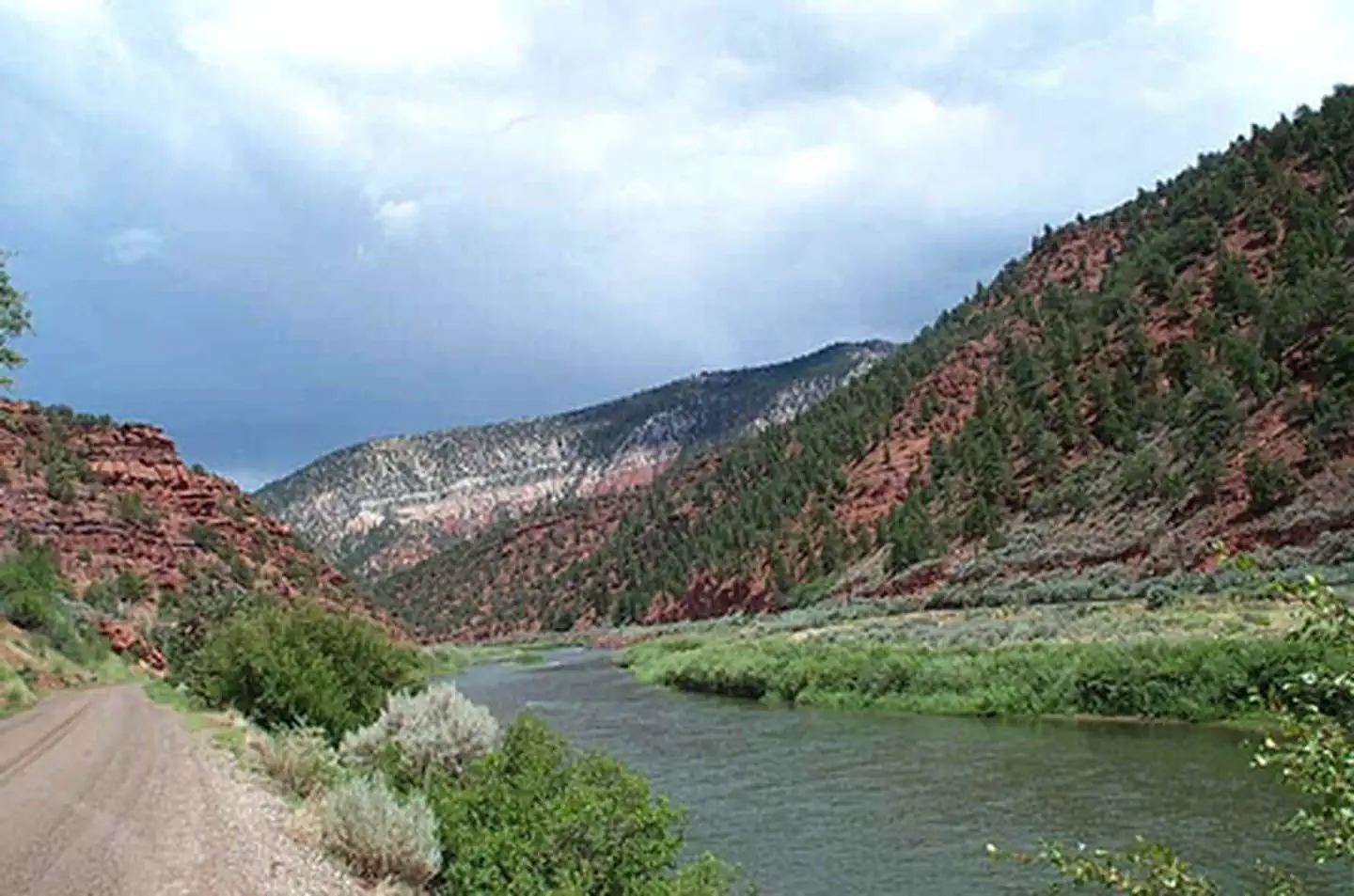
Coburn Rim is a 7.4-mile out-and-back trail located in Colorado near the town of Colorado. Managed by the Pike-San Isabel National Forest's Salida Ranger District, this trail offers access to the Coburn Rim area within the national forest. The out-and-back format means hikers will travel the same route to return to the trailhead, making distance planning straightforward. The trail covers 7.4 miles total, so expect approximately 3.7 miles of hiking to reach the rim before retracing your steps. For trip planning, note that elevation gain information is not currently available. Contact the Salida Ranger District directly for details on trail difficulty, terrain conditions, and seasonal accessibility. They can also provide information on current trail conditions, water availability, and any permits or restrictions that may apply. The Pike-San Isabel National Forest encompasses over 1.4 million acres of diverse terrain in south-central Colorado, offering visitors access to mountain landscapes and recreational opportunities year-round.

Broken Rib
~9 min drive
8.9 mi · Moderate

Hanging Lake
~18 min drive
4.2 mi · Easy

Defiance
~19 min drive
4.0 mi · Hard

Grizzly Creek
~20 min drive
7.4 mi · Moderate
Harold's Tie
~6 min drive
1.1 mi · Easy

Jessie Weaver
~20 min drive
17 mi · Hard
Nellie's
~11 min drive
3.0 mi · Moderate
Prospect
~6 min drive
2.4 mi · Easy
Harold's Trail
~6 min drive
9.2 mi · Hard
Palmer Lake
~13 min drive
4.0 mi · Moderate
Local operatorsoffering guided trips. You book directly with them — Roamze doesn’t take a cut.
Flat Tops Wilderness Guides
Hiking business nearby (~5 mi away) — hasn't claimed their Roamze page yet
Glenwood Canyon Resort
Hiking business nearby (~14 mi away) — hasn't claimed their Roamze page yet
Hanging Lake Adventure Co-op
Hiking business nearby (~15 mi away) — hasn't claimed their Roamze page yet