SW/Central Flat Tops Area
Campground
Campground · 6.3 mi from the trail
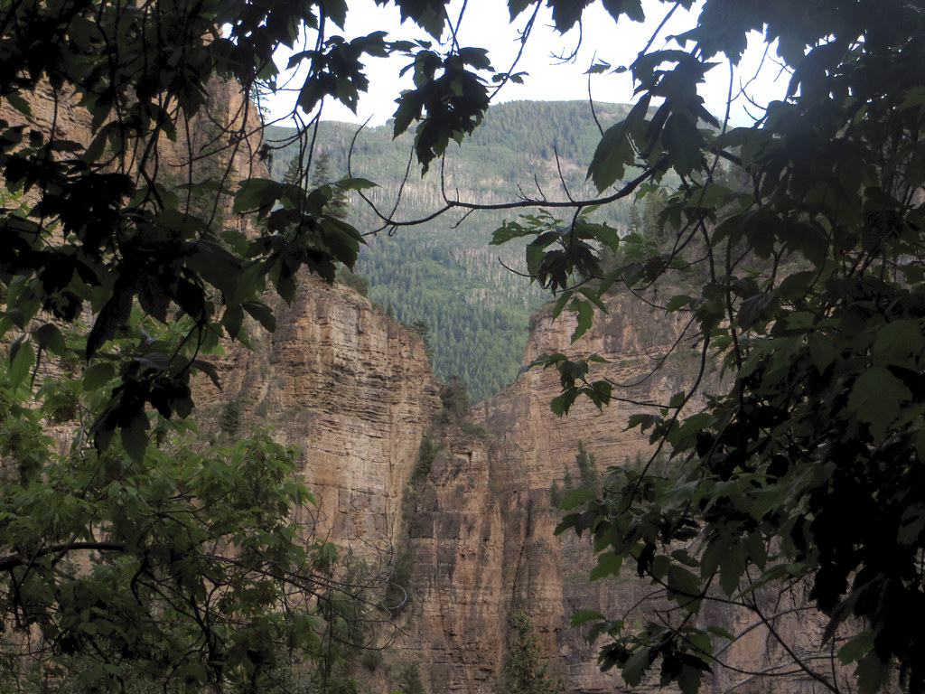
Coal Camp Upper Loop is a 1.5-mile loop hike in Colorado, about 3.6 miles from the town of Chacra. The route gains about 400 feet in elevation and is rated easy, making it a short outing for a day spent exploring the area. The most comfortable months for a visit are typically late spring and early fall. Typical averages from a nearby weather station in Glenwood Springs show May highs around 71°F and September highs around 78°F, while July averages climb to about 89°F and winter brings frequent snow days. The Coal Camp Upper Loop Connector lies just 0.1 mile away, and the Storm King Mountain Memorial Trail is about 3.3 miles off. Climbers can find Lower Slab and Upper Slab roughly 2.4 miles away. For an overnight stay, Glenwood Canyon Resort is about 7.3 miles from the loop.
SW/Central Flat Tops Area
Campground
Glenwood Springs Fish Hatchery
Seafood restaurant
Thermal springs in Colorado
Places © OpenStreetMap contributors, Places © Overture Maps Foundation
More in Glenwood SpringsNot on Roamze yet. Their page has how to reach them.
 Storm King Mountain Memorial TrailHikingPhoto: iagoarchangel, CC BY-SA 2.0 (via Flickr)3.3 mi
 Glenwood Canyon ResortCampingPhoto: DimiTalen, CC BY-SA 3.0 (via Wikimedia Commons)7.3 mi
 Elk Creek CampgroundCampingPhoto: Loco Steve, CC BY 3.0 (via Wikimedia Commons)8.7 mi
Source: Roamze catalog (indexable pages within 10 miles, PostGIS distance)
Storm King Mountain Memorial TrailHiking · ~6 min drivePhoto: iagoarchangel, CC BY-SA 2.0 (via Flickr) Steve Bob TrailHiking · ~8 min drivePhoto: Tony Webster, CC BY 2.0 (via Flickr)Olsen Connector TrailHiking · ~8 min drivePhoto: Tony Webster, CC BY 2.0 (via Flickr)Wulfsohn Trail SouthHiking · ~8 min drivePhoto: Tony Webster, CC BY 2.0 (via Flickr)
 Grizzly CreekHiking · ~17 min drivePhoto: Loco Steve, CC BY 3.0 (via Wikimedia Commons)
 Lookout MountainHiking · ~12 min drivePhoto: WasifMalik, CC BY 2.0 (via Flickr)
Best months: April–June and September–October. Best months have typical highs of 55–85 °F, lows of 30 °F or warmer (32 °F where the station doesn't record snow), at most one snowy day and no more than 12 wet days.
Jan
36° / 12°
8 wet · 6 snow
Feb
42° / 19°
6 wet · 4 snow
Mar
53° / 26°
6 wet · 2 snow
Apr
60° / 32°
7 wet · 1 snow
May
71° / 40°
7 wet
Jun
82° / 46°
5 wet
Jul
89° / 53°
5 wet
Aug
86° / 52°
6 wet
Sep
78° / 44°
6 wet
Oct
65° / 33°
6 wet
Nov
49° / 24°
6 wet · 2 snow
Dec
36° / 15°
7 wet · 4 snow
Typical high / low (°F) and days with rain or snow, 1991–2020. Measured at Glenwood Spgs #2, CO, 5.7 mi away at 5,895 ft. We don't have this place's elevation, so higher spots nearby can run cooler. Source: NOAA NCEI U.S. Climate Normals 1991–2020.
Map and trail data © OpenStreetMap contributors

