Transfer Park Campground
Campground
Campground · 5.1 mi from the trail
Closure in the area
There's a closure order in Columbine Ranger District. It doesn't name City Reservoir, so check the source for the area it covers (5 listed).
Pagosa Ranger District Road Closure
Agency closure covering Columbine Ranger District · Order 02-13-08-26-17 · USFS · Columbine Ranger District
COLUMBINE RANGER DISTRICT Road Closure
Agency closure covering Columbine Ranger District · Order 02-13-08-26-18 · USFS · Columbine Ranger District
Travel is not advised to the San Juan NF
Agency closure covering San Juan National Forest · USFS · San Juan National Forest
Closures and dangerous conditions on roads, bridges, and trails from flooding
Agency closure covering San Juan National Forest · USFS · San Juan National Forest
Multiple roads and trails damaged by flooding on SJNF
Agency closure covering San Juan National Forest · USFS · San Juan National Forest
As of · Source: USFS · Columbine Ranger District. Agencies don't list every closure — check before you go.
City Reservoir is a 14-mile out-and-back hike in the Columbine Ranger District of Colorado's San Juan National Forest, managed by the Forest Service. The trail rises from about 10,900 feet to roughly 11,800 feet, with a total elevation gain of about 394 feet. It is a hard route, and the climb is spread across the full length of the trip. The trail is natural-surface and allows horses, but bikes are not permitted. The open season runs from June 1 to September 30, and the Lime Mesa Trailhead is the parking for the route. Nearby, Lime Mesa and Stump Lake are both within about 4 miles, and Transfer Park Campground is about 5 miles away. Climbers can find the East Side climbing area about 5 miles off.
Transfer Park Campground
Campground
Pinkerton Hot Springs
Hot spring
Places © OpenStreetMap contributors
More in DurangoNot on Roamze yet. Their page has how to reach them.
Source: Roamze catalog (indexable pages within 10 miles, PostGIS distance)
 Twin LakesHiking · ~11 min drivePhoto: kalestews, CC BY 2.0 (via Flickr)
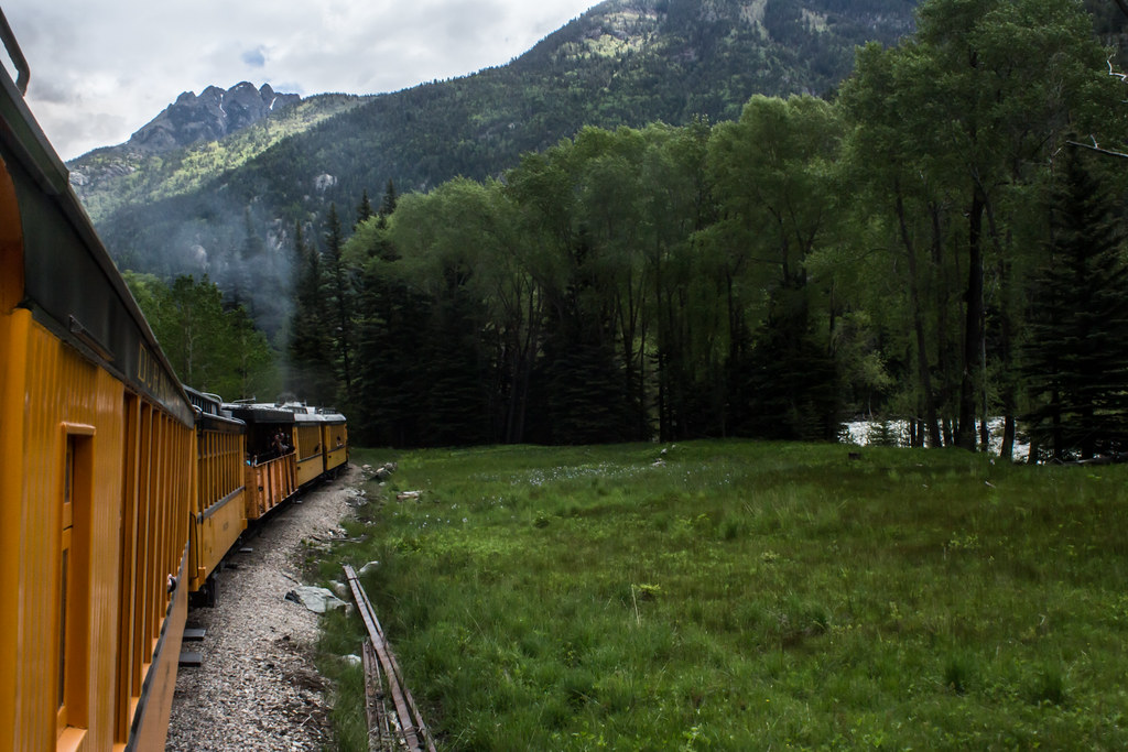 North EolusHiking · ~12 min drivePhoto: markbyzewski, CC BY 2.0 (via Flickr)
 Lupine Trace TrailHiking · ~12 min drivePhoto: markbyzewski, CC BY 2.0 (via Flickr)
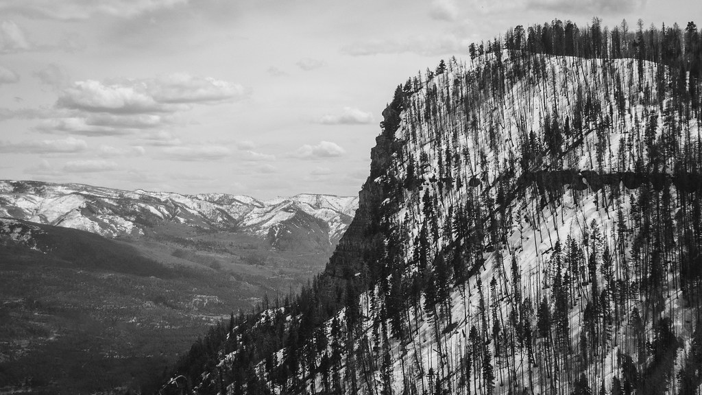 Goulding CreekHiking · ~14 min drivePhoto: Daniel Weber, Public Domain Dedication (CC0) (via Flickr)
 Sunlight PeakHiking · ~12 min drivePhoto: markbyzewski, CC BY 2.0 (via Flickr)
 Wagon TrailHiking · ~12 min drivePhoto: markbyzewski, CC BY 2.0 (via Flickr)
 NeedleHiking · ~10 min drivePhoto: markbyzewski, CC BY 2.0 (via Flickr)Jupiter MountainHiking · ~12 min drivePhoto: markbyzewski, CC BY 2.0 (via Flickr)

