Haviland Lake Campground
Campground
Campground · 0.1 mi from the trail
 Photo: markbyzewski, CC BY 2.0 (via Flickr)
Closure in the area
There's a closure order in Columbine Ranger District. It doesn't name Wagon Trail, so check the source for the area it covers (5 listed).
Pagosa Ranger District Road Closure
Agency closure covering Columbine Ranger District · Order 02-13-08-26-17 · USFS · Columbine Ranger District
COLUMBINE RANGER DISTRICT Road Closure
Agency closure covering Columbine Ranger District · Order 02-13-08-26-18 · USFS · Columbine Ranger District
Travel is not advised to the San Juan NF
Agency closure covering San Juan National Forest · USFS · San Juan National Forest
Closures and dangerous conditions on roads, bridges, and trails from flooding
Agency closure covering San Juan National Forest · USFS · San Juan National Forest
Multiple roads and trails damaged by flooding on SJNF
Agency closure covering San Juan National Forest · USFS · San Juan National Forest
As of · Source: USFS · Columbine Ranger District. Agencies don't list every closure — check before you go.
Wagon Trail is a 2.34-mile out-and-back route in Colorado with 579 feet of elevation gain and loss, reaching a maximum elevation of 8,175 feet.
Haviland Lake Campground
Campground
Pinkerton Hot Springs
Hot spring
Places © OpenStreetMap contributors
More in DurangoNot on Roamze yet. Their page has how to reach them.
 Lupine Trace TrailHiking · Next doorPhoto: markbyzewski, CC BY 2.0 (via Flickr)
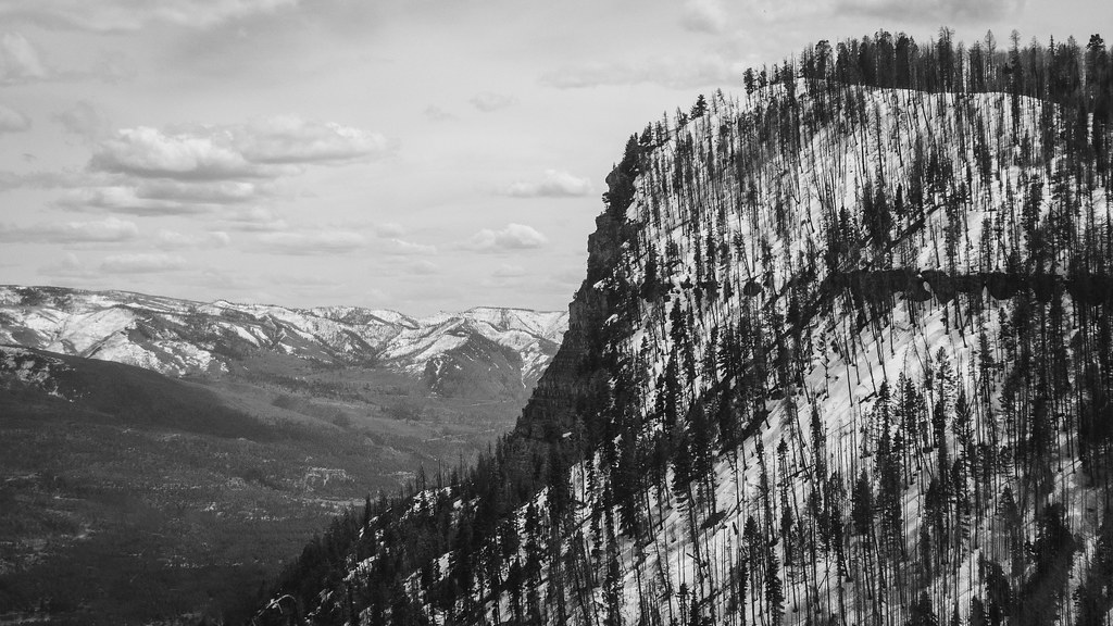 Goulding CreekHiking · ~3 min drivePhoto: Daniel Weber, Public Domain Dedication (CC0) (via Flickr)
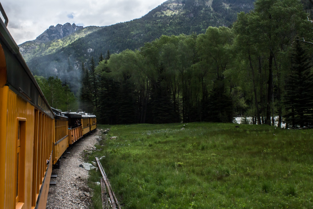 Jupiter MountainHiking · ~16 min drivePhoto: markbyzewski, CC BY 2.0 (via Flickr)Aspen LoopHiking · ~1 min drivePhoto: markbyzewski, CC BY 2.0 (via Flickr)Dutch Creek TrailHiking · ~3 min drivePhoto: markbyzewski, CC BY 2.0 (via Flickr)Hermosa ViewHiking · ~1 min drivePhoto: markbyzewski, CC BY 2.0 (via Flickr)
 Pinkerton-Flagstaff TrailHiking · ~6 min drivePhoto: Frans-Banja Mulder, CC BY 3.0 (via Wikimedia Commons)
Best months: May–June and September–October. Best months have typical highs of 55–85 °F, lows of 30 °F or warmer (32 °F where the station doesn't record snow), at most one snowy day and no more than 12 wet days.
Jan
37° / 9°
9 wet
Feb
40° / 11°
8 wet
Mar
47° / 19°
8 wet
Apr
54° / 26°
7 wet
May
63° / 35°
8 wet
Jun
75° / 43°
7 wet
Jul
79° / 49°
14 wet
Aug
76° / 48°
16 wet
Sep
70° / 41°
11 wet
Oct
59° / 32°
8 wet
Nov
46° / 22°
7 wet
Dec
37° / 13°
8 wet
Typical high / low (°F) and days with rain or snow, 1991–2020. Measured at Lemon Dam, CO, 13.3 mi away at 8,110 ft. This station doesn't record snowfall. Source: NOAA NCEI U.S. Climate Normals 1991–2020.
Map and trail data © OpenStreetMap contributors

