Chilton
- 2.7 mi
- round trip
- 212 ft
- climb
- 8,376 ft
- high point
- Out and back
- route
- Jun–Sep
- best months
Is Chilton open right now?
Closure in the area
There's a closure order in Hahns Peak-Bears Ears Ranger District. It doesn't name Chilton, so check the source for the area it covers.
Area Closure for the Fishhook Fire - Routt National Forest
Agency closure covering Hahns Peak-Bears Ears Ranger District · Order 02-06-03-26-222 · USFS · Hahns Peak-Bears Ears Ranger District
Access Impact: Big Creek Lakes Dam Project
Agency alert covering Medicine Bow-Routt National Forest · USFS · Medicine Bow-Routt National Forest
Trail & Access Impact: Stillwater Reservoir Project
Agency alert covering Medicine Bow-Routt National Forest · USFS · Medicine Bow-Routt National Forest
Snowy Range - 2026 Active Vegetation Operations
Agency alert covering Medicine Bow-Routt National Forest · USFS · Medicine Bow-Routt National Forest
As of · Source: USFS · Hahns Peak-Bears Ears Ranger District. Agencies don't list every closure — check before you go.
Chilton is an easy out-and-back hike in Colorado's Mount Zirkel Wilderness, within the Hahns Peak-Bears Ears Ranger District of the Medicine Bow-Routt National Forest. The trail is about 2.7 miles long, with a total elevation gain of 212 feet, and it starts at the Chilton Trailhead, which is open year round. The route runs on natural surface and is open to horses. It rises from a low point of about 8,162 feet to a high of about 8,376 feet, so the climb is gentle and the whole trip is short enough to fit into a day. Summer is the most comfortable time to go. Typical averages from a nearby weather station at Spicer, CO, show July highs around 77°F with lows near 42°F, while winter highs stay in the 20s. Nearby, Swamp Park is about 1.7 miles away and Roaring Fork about 2.3 miles. Big Creek offers canoeing at about 2.2 miles, and Hinman Park Campground is about 4.4 miles away.
- Swamp ParkHiking1.7 mi
- Big CreekCanoeing2.2 mi
- Roaring ForkHiking2.3 mi
 South Fork Elk RiverCanoeingPhoto: Jeffrey Beall, CC BY 4.0 (via Wikimedia Commons)4.2 mi
- Hinman Park CampgroundCamping4.4 mi
- Lower CragRock climbing4.6 mi
- Seedhouse CragRock climbing4.7 mi
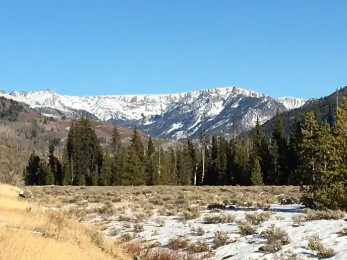 Seedhouse CampgroundCampingPhoto: Recreation.gov (RIDB) / public domain5.9 mi
Source: Roamze catalog (indexable pages within 10 miles, PostGIS distance)
 Three Island LakeHiking · ~12 min drivePhoto: brewbooks, CC BY-SA 2.0 (via Flickr)
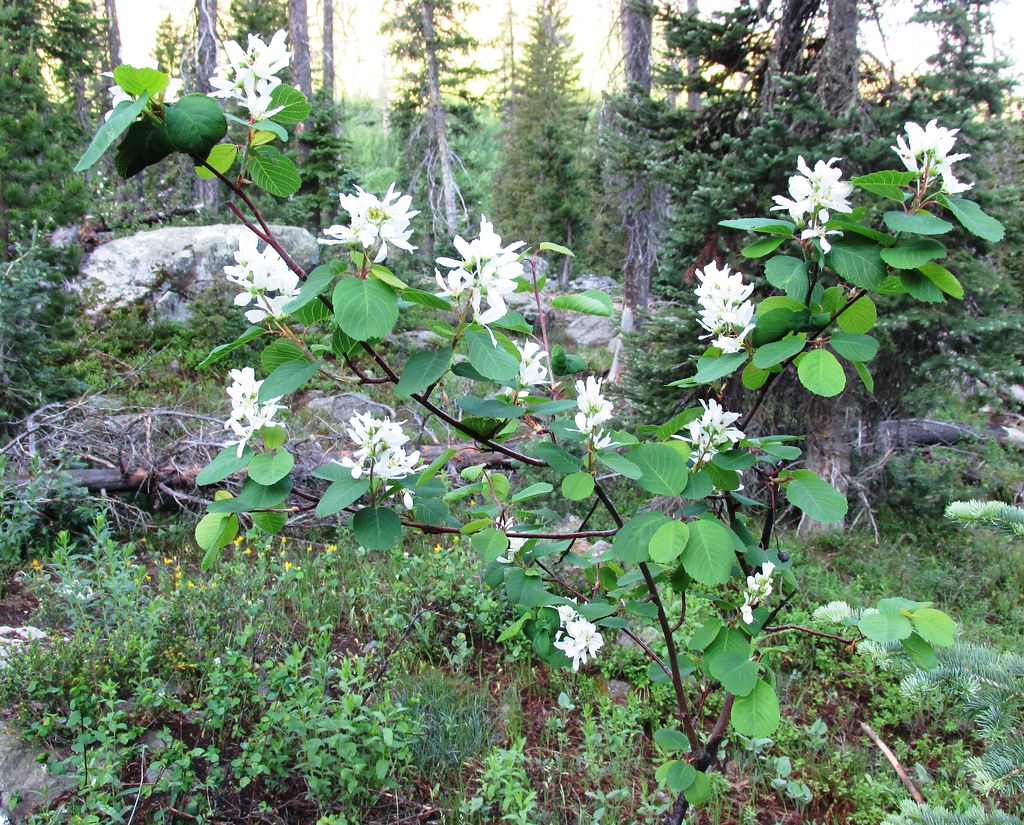 Mica BasinHiking · ~15 min drivePhoto: brewbooks, CC BY-SA 2.0 (via Flickr)
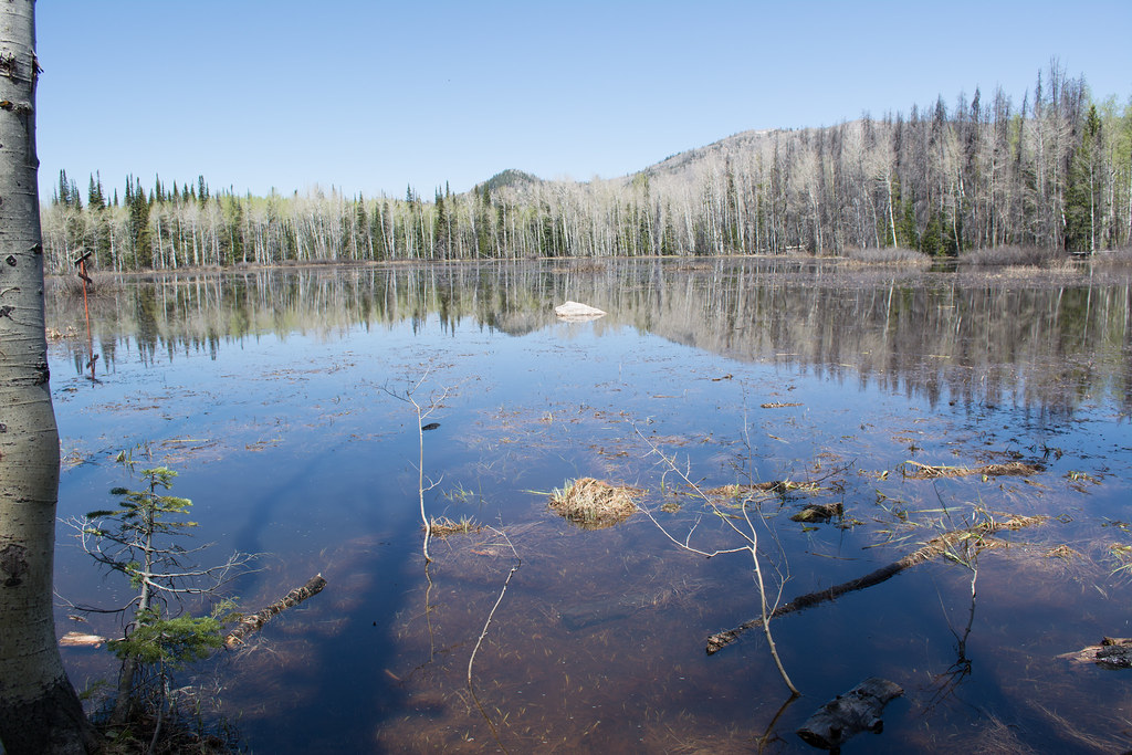 Soda Creek TrailHiking · ~18 min drivePhoto: bjwhite66212, CC BY-SA 2.0 (via Flickr)
- Wyoming TrailHiking · ~13 min drivePhoto: brewbooks, CC BY-SA 2.0 (via Flickr)
- Roaring ForkHiking · ~4 min drive
 Ditch TrailHiking · ~18 min drivePhoto: bjwhite66212, CC BY-SA 2.0 (via Flickr)
- GilpinHiking · ~14 min drivePhoto: brewbooks, CC BY-SA 2.0 (via Flickr)
- Big Creek Lake(hp)Hiking · ~9 min drive
- Pearl Lake TrailHiking · ~13 min drive
 Bear CreekHiking · ~16 min drivePhoto: daveynin, CC BY 2.0 (via Flickr)
Best time to visit Chilton
Best months: June–September. Best months have typical highs of 55–85 °F, lows of 30 °F or warmer (32 °F where the station doesn't record snow), at most one snowy day and no more than 12 wet days.
Jan
28° / 7°
8 wet
Feb
31° / 9°
8 wet
Mar
40° / 15°
8 wet
Apr
49° / 23°
9 wet
May
59° / 30°
10 wet
Jun
71° / 36°
8 wet
Jul
77° / 42°
9 wet
Aug
76° / 40°
11 wet
Sep
68° / 34°
8 wet
Oct
55° / 25°
7 wet
Nov
39° / 16°
8 wet
Dec
29° / 9°
8 wet
Typical high / low (°F) and days with rain or snow, 1991–2020. Measured at Spicer, CO, 23.9 mi away at 8,385 ft. This station doesn't record snowfall. Source: NOAA NCEI U.S. Climate Normals 1991–2020.
