Canal
- 1.8 mi
- round trip
- 205 ft
- climb
- 9,143 ft
- high point
- Out and back
- route
- Jun–Aug
- best months
Is Canal open right now?
Closure in the area
There's a closure order in Grand Mesa, Uncompahgre and Gunnison National Forests. It doesn't name Canal, so check the source for the area it covers (2 listed).
Gold Mountain Wildfire Roads and Trails Closure Order v 4.0
Agency closure covering Grand Mesa, Uncompahgre and Gunnison National Forests · USFS · Grand Mesa, Uncompahgre and Gunnison National Forests
Ophir Pass Road Closure
Agency closure covering Grand Mesa, Uncompahgre and Gunnison National Forests · USFS · Grand Mesa, Uncompahgre and Gunnison National Forests
Potter Basin Road Closure Order
Agency alert covering Grand Mesa, Uncompahgre and Gunnison National Forests · USFS · Grand Mesa, Uncompahgre and Gunnison National Forests
Beaver Park Road Closure Order
Agency alert covering Grand Mesa, Uncompahgre and Gunnison National Forests · USFS · Grand Mesa, Uncompahgre and Gunnison National Forests
TERMINATION OF ORDER - FIRE RESTRICTIONS
Agency alert covering Grand Mesa, Uncompahgre and Gunnison National Forests · USFS · Grand Mesa, Uncompahgre and Gunnison National Forests
As of · Source: USFS · Grand Mesa, Uncompahgre and Gunnison National Forests. Agencies don't list every closure — check before you go.
Canal is an easy, 1.8-mile out-and-back hike in the Gunnison Ranger District of the Grand Mesa, Uncompahgre and Gunnison National Forests in Colorado, managed by the Forest Service. The trail rises about 205 feet from a low point of 8,936 feet to a high of 9,143 feet, and its natural surface makes it a simple walk for hikers, riders and horseback travelers. Summer is the most comfortable time to go. Typical averages from the nearby Crested Butte weather station show July highs around 76°F with lows near 40°F, while winter highs stay in the mid-20s and lows drop to about -7°F in January. The trail sits close to several other outdoor options. Brush Creek Road, Brush Creek Road 738 and Brush Creek Camping Area are all within half a mile, and Farris Creek Camping Area is about 1.2 miles away.
Go with a guide
- Mineral Belt Trail Guided WalkNexPM AI · $25 per person · 41 mi away
- Taylor Park Trading Post19 mi away
 Brush Creek RoadCross-country skiingPhoto: jpaxton, CC BY-SA 3.0 (via Wikimedia Commons)0.3 mi
- Brush Creek Road 738Cross-country skiingPhoto: jpaxton, CC BY-SA 3.0 (via Wikimedia Commons)0.4 mi
- Brush Creek Camping AreaCamping0.5 mi
- Farris Creek Camping AreaCamping1.2 mi
- Brush CreekCanoeing1.5 mi
- Battleship BoulderRock climbing3 mi
- The Joint BoulderRock climbing3 mi
 Slate RiverCanoeingPhoto: Jeffrey Beall, CC BY 3.0 (via Wikimedia Commons)5.3 mi
Source: Roamze catalog (indexable pages within 10 miles, PostGIS distance)
 Crested Butte Mountain SummitHiking · ~4 min drivePhoto: Larry D. Moore, CC BY 4.0 (via Wikimedia Commons)
 Upper Upper LoopHiking · ~5 min drivePhoto: Kyle Watson Photography, CC BY-SA 2.0 (via Flickr)
 Walrod Gulch Cutoff Trail #418Hiking · ~7 min drivePhoto: sean.bartell, CC BY-SA 2.0 (via Flickr)
- Italian MountainHiking · ~9 min drive
 Woods TrailHiking · ~6 min drivePhoto: Alissa Walker, CC BY-SA 2.0 (via Wikimedia Commons)
 405.2A TrailHiking · ~7 min drivePhoto: sean.bartell, CC BY-SA 2.0 (via Flickr)
- Snodgrass Trail #590Hiking · ~9 min drivePhoto: Alissa Walker, CC BY-SA 2.0 (via Wikimedia Commons)
- Waterfall Cutoff TrailHiking · ~9 min drive
 Snodgrass Spur 2AHiking · ~8 min drivePhoto: Kyle Watson Photography, CC BY-SA 2.0 (via Flickr)
- Teddy's TrailHiking · ~8 min drivePhoto: Alissa Walker, CC BY-SA 2.0 (via Wikimedia Commons)
Also worth it near here
- Brush Creek RoadCross-country skiing · Next doorPhoto: jpaxton, CC BY-SA 3.0 (via Wikimedia Commons)
- Brush CreekCanoeing · ~3 min drive
 Campsite BC 10Camping · ~4 min drivePhoto: jpaxton, CC BY-SA 3.0 (via Wikimedia Commons)
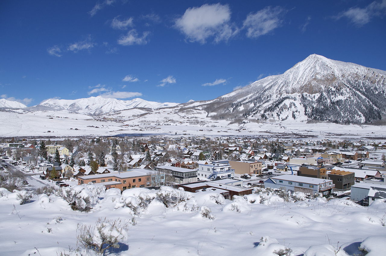 Crested ButteSummit · ~4 min drivePhoto: Chris Segal, CC0 (via Wikimedia Commons)
Best time to visit Canal
Best months: June–August. Best months have typical highs of 55–85 °F, lows of 30 °F or warmer (32 °F where the station doesn't record snow), at most one snowy day and no more than 12 wet days.
Jan
26° / -7°
12 wet
Feb
29° / -2°
11 wet
Mar
38° / 7°
10 wet
Apr
47° / 19°
9 wet
May
58° / 28°
8 wet
Jun
70° / 34°
7 wet
Jul
76° / 40°
10 wet
Aug
74° / 38°
12 wet
Sep
66° / 31°
9 wet
Oct
54° / 22°
8 wet
Nov
39° / 9°
9 wet
Dec
27° / -4°
11 wet
Typical high / low (°F) and days with rain or snow, 1991–2020. Measured at Crested Butte, CO, 4.2 mi away at 8,867 ft. This station doesn't record snowfall. Source: NOAA NCEI U.S. Climate Normals 1991–2020.
