Bootleg Campground
Campground
Campground · 4.4 mi from the trail
Alert in the area
The Forest Service lists 7 alerts for Pike and San Isabel National Forests.
FSR 286, Radical Hill, is closed due to washouts and unsafe conditions
Agency alert covering Pike and San Isabel National Forests · USFS · Pike and San Isabel National Forests
Interlaken Hotel Tree Hazards
Agency alert covering Pike and San Isabel National Forests · USFS · Pike and San Isabel National Forests
Sharpe Fire Update
Agency alert covering Pike and San Isabel National Forests · USFS · Pike and San Isabel National Forests
Turquoise Lake Road (County Road 4) Closure
Agency alert covering Pike and San Isabel National Forests · USFS · Pike and San Isabel National Forests
Food Storage Prohibitions on Pike-San Isabel National Forests
Agency alert covering Pike and San Isabel National Forests · Order 02-12-00-23-07 · USFS · Pike and San Isabel National Forests
As of · Source: USFS · Pike and San Isabel National Forests. Agencies don't list every closure — check before you go.
Browns Creek Falls Trail is a 2.9-mile lollipop loop located near Colorado. This trail takes hikers to a waterfall destination, combining an out-and-back section with a return loop for varied scenery throughout the hike. The lollipop format means you'll travel out on one route before completing a loop at the turnaround point, then return via a different path. This design reduces repetition and provides new perspectives on the landscape as you make your way back to the trailhead. The trail is suitable for hikers seeking a moderate-distance outing with waterfall views. At under 3 miles, it's accessible for a half-day adventure while still offering enough distance for a rewarding hike. Check current conditions before heading out, as water features like Browns Creek Falls can vary seasonally. Bring adequate water and sun protection for your trip. The relatively short distance makes this a good option for families or those looking for a less strenuous day hike.
Bootleg Campground
Campground
Evans Firewall & Savard Building
Museum
Places © OpenStreetMap contributors, Places © Overture Maps Foundation
More in Pitkin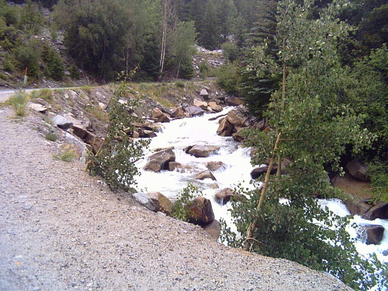 Chalk CreekCanoeingPhoto: LanceBarber, CC BY-SA 3.0 (via Wikimedia Commons)5 mi
 Chalk Creek Boulder aka Boulder of SorrowRock climbingPhoto: oxtopus, CC BY 2.0 (via Flickr)5 mi
Source: Roamze catalog (indexable pages within 10 miles, PostGIS distance)
 Tabeguache PeakHiking · ~7 min drivePhoto: kalestews, CC BY 2.0 (via Flickr)Cascade Creek TrailHiking · ~8 min drivePhoto: oxtopus, CC BY 2.0 (via Flickr)
 Mt. PrincetonHiking · ~12 min drivePhoto: kalestews, CC BY 2.0 (via Flickr)Mount ShavanoHiking · ~7 min drivePhoto: kalestews, CC BY 2.0 (via Flickr)
 Yansing (Chinaman) Gulch Trail 6043Hiking · ~20 min drivePhoto: Nholifield, CC BY 3.0 (via Wikimedia Commons)
 Iron Chest Mine TrailHiking · ~15 min drivePhoto: jaygannett, CC BY-SA 2.0 (via Flickr)
 Mount PrincetonHiking · ~11 min drivePhoto: wohnai, CC BY 2.0 (via Flickr)
Best months: June–September. Best months have typical highs of 55–85 °F, lows of 30 °F or warmer (32 °F where the station doesn't record snow), at most one snowy day and no more than 12 wet days.
Jan
29° / -8°
8 wet
Feb
33° / -5°
8 wet
Mar
40° / 4°
8 wet
Apr
47° / 18°
8 wet
May
58° / 29°
8 wet
Jun
69° / 36°
7 wet
Jul
72° / 42°
11 wet
Aug
70° / 41°
12 wet
Sep
64° / 34°
9 wet
Oct
54° / 25°
7 wet
Nov
40° / 13°
8 wet
Dec
28° / -4°
8 wet
Typical high / low (°F) and days with rain or snow, 1991–2020. Measured at Taylor Park, CO, 25.2 mi away at 9,179 ft. The station sits about 700 ft lower than this place, so expect it a little cooler here. This station doesn't record snowfall. Source: NOAA NCEI U.S. Climate Normals 1991–2020.
Map and trail data © OpenStreetMap contributors


