Breckenridge Area
Campground
Campground · 3.6 mi from the trail
 Photo: nan palmero, CC BY 2.0 (via Flickr)
Alert in the area
The Forest Service lists 6 alerts for White River National Forest.
FSR 286, Radical Hill, is closed due to washouts and unsafe conditions
Agency alert covering White River National Forest · USFS · White River National Forest
Limited parking at Snowmass Creek Trailhead
Agency alert covering White River National Forest · USFS · White River National Forest
Grizzly Creek Trail Closure
Agency alert covering White River National Forest · Order 2026-02 · USFS · White River National Forest
Ruedi Marina Day Use area Dump Station is CLOSED
Agency alert covering White River National Forest · USFS · White River National Forest
Asbestos safety closure - Camp Hale
Agency alert covering White River National Forest · USFS · White River National Forest
As of · Source: USFS · White River National Forest. Agencies don't list every closure — check before you go.
The Blue River Trail is an easy, out-and-back hike in Colorado's White River National Forest, within the Dillon Ranger District. The route is about 6.2 miles long, with a low point of 9,842 feet and a high of 10,209 feet. The trail is managed by the Forest Service and is open year-round, with parking at the Boreas Pass Trailhead. The trail is a natural-surface route that allows both horses and bikes, so it works for riders and pack animals as well as hikers. The climb is gentle, with an elevation gain of about 130 feet one way. Summer is the most comfortable time to go. Typical averages from a nearby weather station at Fairplay run to highs around 71°F in July and 68°F in August, with lows in the low 40s. Winters are cold, with highs near 31°F and lows around 10°F from December through February. Several other outings sit close by. The Fredonia to Pennsylvania hike is about half a mile away, and the Blue River (South) mountain biking area and the Spruce Creek (Mohawk Lakes) #58 lake fishing spot are each under a mile off. For an overnight stay, Selkirk Campground is about 6 miles away.
Breckenridge Area
Campground
 If it rainsPlazak, CC BY 3.0 · Wikimedia Commons
Matchless Mine
Attraction
Places © OpenStreetMap contributors · Photos: Plazak, CC BY 3.0 (commons)
More in LeadvilleFredonia to PennsylvaniaHikingPhoto: nan palmero, CC BY 2.0 (via Flickr)0.5 miSource: Roamze catalog (indexable pages within 10 miles, PostGIS distance)
Fredonia to PennsylvaniaHiking · Next doorPhoto: nan palmero, CC BY 2.0 (via Flickr)Fredonia GulchHiking · ~2 min drivePhoto: nan palmero, CC BY 2.0 (via Flickr)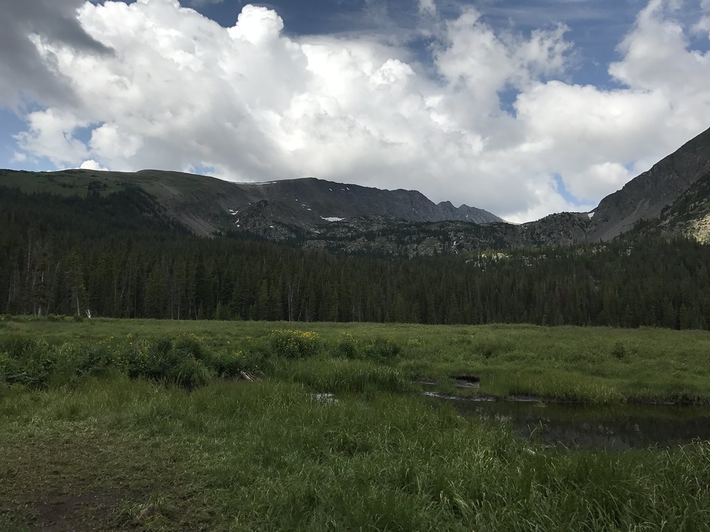 Mount HelenHiking · ~3 min drivePhoto: ChrisYunker, CC BY 2.0 (via Flickr)
 Spruce CreekHiking · ~4 min drivePhoto: ChrisYunker, CC BY 2.0 (via Flickr)
 Spruce Creek TrailHiking · ~2 min drivePhoto: Lorie Shaull, CC BY 2.0 (via Flickr)
 Burro TrailHiking · ~2 min drivePhoto: Juan Ortega, CC BY 3.0 (via Wikimedia Commons)
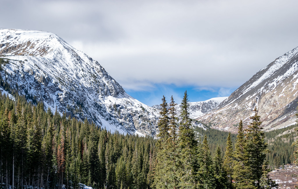 Quandary PeakHiking · ~6 min drivePhoto: TerryDOtt, CC BY 2.0 (via Flickr)Mayflower LakesHiking · ~3 min drivePhoto: ChrisYunker, CC BY 2.0 (via Flickr)Crystal LakeHiking · ~5 min drivePhoto: ChrisYunker, CC BY 2.0 (via Flickr)
Best months: June–September. Best months have typical highs of 55–85 °F, lows of 30 °F or warmer (32 °F where the station doesn't record snow), at most one snowy day and no more than 12 wet days.
Jan
31° / 10°
Feb
31° / 9°
Mar
38° / 16°
Apr
45° / 22°
May
55° / 29°
Jun
66° / 37°
Jul
71° / 42°
Aug
68° / 41°
Sep
62° / 35°
Oct
51° / 26°
Nov
39° / 17°
Dec
31° / 10°
Typical high / low (°F) and days with rain or snow, 1991–2020. Measured at Fairplay S Park Rd, CO, 14.7 mi away at 9,995 ft. This station doesn't record snowfall. Source: NOAA NCEI U.S. Climate Normals 1991–2020.

