Big Meadows Campground
Campground
Campground · 1.5 mi from the trail
Caution today
Agency alerts are in effect for this area; weather is good · USFS, OpenWeather · checked 1 h ago
Closure in the area
There's a closure order in Rio Grande National Forest. It doesn't name Kitty Creek, so check the source for the area it covers.
Closures and dangerous conditions on roads, bridges, and trails from flooding
Agency closure covering Rio Grande National Forest · USFS · Rio Grande National Forest
As of · Source: USFS · Rio Grande National Forest. Agencies don't list every closure — check before you go.
Kitty Creek is a hard hike in the Divide Ranger District of the Rio Grande National Forest in Colorado, about 9.4 miles long with a one-way elevation gain of 2,144 feet. The trail is managed by the Forest Service and has a natural surface, and horses are allowed. The route is an out-and-back that starts at about 9,900 feet and climbs to roughly 12,650 feet. That makes it a serious day for anyone planning a long approach or a high camp. Shaw Lake Loop is just 0.6 miles away, and the South Fork Rio Grande offers canoeing about 0.9 miles off. Climbers can head to Big Meadows, about 1.1 miles away, and Big Meadows Campground sits about 1.5 miles from the trail.
Big Meadows Campground
Campground
Ramon's Mexican Restaurant
Restaurant
Quiller Gallery
Gallery
Places © OpenStreetMap contributors
More in South ForkNot on Roamze yet. Their page has how to reach them.
 South Fork Rio GrandeCanoeingPhoto: Jeffrey Beall, CC BY 3.0 (via Wikimedia Commons)0.9 mi
 Big Meadows LoopHikingPhoto: JustTooLazy, CC BY 2.0 (via Flickr)1.2 mi
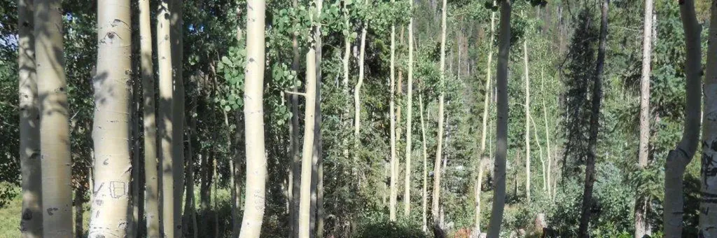 Big Meadows Reservoir Campground (South Central CO)CampingPhoto: Recreation.gov (RIDB) / public domain1.5 mi
Source: Roamze catalog (indexable pages within 10 miles, PostGIS distance)
Big Meadows LoopHiking · ~2 min drivePhoto: JustTooLazy, CC BY 2.0 (via Flickr) ArchuletaHiking · ~5 min drivePhoto: JustTooLazy, CC BY 2.0 (via Flickr)
 Hunters LakeHiking · ~8 min drivePhoto: cogdogblog, Public Domain Dedication (CC0) (via Flickr)
 HighlineHiking · ~8 min drivePhoto: cogdogblog, Public Domain Dedication (CC0) (via Flickr)
 LoboHiking · ~8 min drivePhoto: Corey Leopold, CC BY 2.0 (via Flickr)
 RaspberryHiking · ~13 min drivePhoto: dsearls, CC BY 2.0 (via Flickr)
 OverlookHiking · ~16 min drivePhoto: Dicklyon, CC BY-SA 4.0 (via Wikimedia Commons)
