Acorn Creek Trail
- 6.0 mi
- round trip
- 2,414 ft
- climb
- 11,998 ft
- high point
- Out and back
- route
Is Acorn Creek Trail open right now?
Alert in the area
The Forest Service lists 6 alerts for White River National Forest.
FSR 286, Radical Hill, is closed due to washouts and unsafe conditions
Agency alert covering White River National Forest · USFS · White River National Forest
Limited parking at Snowmass Creek Trailhead
Agency alert covering White River National Forest · USFS · White River National Forest
Grizzly Creek Trail Closure
Agency alert covering White River National Forest · Order 2026-02 · USFS · White River National Forest
Ruedi Marina Day Use area Dump Station is CLOSED
Agency alert covering White River National Forest · USFS · White River National Forest
Asbestos safety closure - Camp Hale
Agency alert covering White River National Forest · USFS · White River National Forest
As of · Source: USFS · White River National Forest. Agencies don't list every closure — check before you go.
Acorn Creek Trail is a 6-mile out-and-back hike in the Ptarmigan Peak Wilderness, part of the Dillon Ranger District of Colorado's White River National Forest. The Forest Service manages the land, and the trail's natural surface allows for horseback riding. The route rises about 2,400 feet from a low point of 8,640 feet to a high of 11,998 feet, and it is rated hard. The trail starts at the Acorn Creek Trailhead, and it stays open year-round. The climb is the defining challenge, with the high point reached in the middle of the route. The Acorn Creek Loop Trail lies about 1.5 miles away, and the Not Rock hike is about 2.8 miles off. For an overnight stay, Blue River Campground is roughly 3.7 miles away, and the Lower/Upper Slate Lakes #65 fishing area is about 5.5 miles away.
Go with a guide
- Mineral Belt Trail Guided WalkNexPM AI · $25 per person · 38 mi away
- Camp Always Choose Adventures28 mi away
- Acorn Creek Loop TrailHiking1.5 mi
- Not RockHiking2.8 mi
 Harrigan CreekMountain bikingPhoto: jtsmmm, CC BY 3.0 (via Wikimedia Commons)3.5 mi
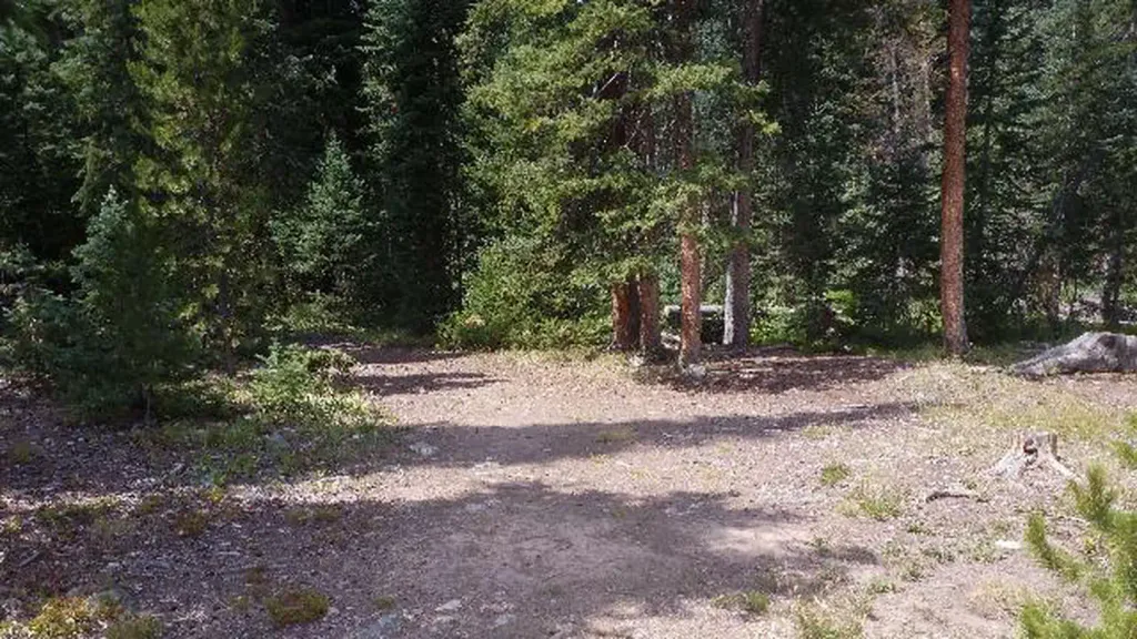 South Fork Group Site - Arapaho NF (CO)CampingPhoto: Recreation.gov (RIDB) / public domain3.6 mi
- Blue River CampgroundCamping3.7 mi
- Lower/Upper Slate Lakes #65Lake fishing5.5 mi
 Williams ForkCanoeingPhoto: US Geological Survey, Public domain (via Wikimedia Commons)7.3 mi
- Equinox GardensRock climbing8.8 mi
Source: Roamze catalog (indexable pages within 10 miles, PostGIS distance)
 Williams Fork BoardwalkHiking · ~6 min drivePhoto: jtsmmm, CC BY 3.0 (via Wikimedia Commons)
- Darling CreekHiking · ~7 min drivePhoto: jtsmmm, CC BY 3.0 (via Wikimedia Commons)
- Acorn Creek TrailHiking · Next door
 Upper Pioneer CreekHiking · ~7 min drivePhoto: devriesm, CC BY-SA 2.0 (via Flickr)
- Ute PeakHiking · ~11 min drive
- Ute PassHiking · ~6 min drive
- Bushee CreekHiking · ~8 min drivePhoto: devriesm, CC BY-SA 2.0 (via Flickr)
- Ute PeakHiking · ~6 min drive
- North Rock CreekHiking · ~10 min drive
 KINNEY CREEKHiking · ~8 min drivePhoto: jtsmmm, CC BY 3.0 (via Wikimedia Commons)
