Ute Peak
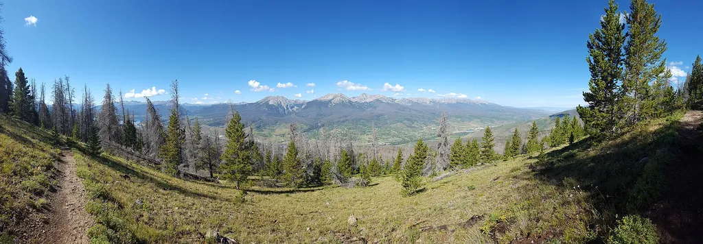 Photo: Mcphail492 — Wikimedia Commons (CC BY-SA 4.0)
- 25.0 mi
- round trip
- 361 ft
- climb
- 12,470 ft
- high point
- Out and back
- route
Ute Peak is a 27.2-mile out-and-back trail located in Colorado near the town of Colorado, managed by the White River National Forest's Aspen-Sopris Ranger District. This extended route offers hikers a substantial backcountry experience in the White River National Forest. As an out-and-back trail, hikers will travel the same route returning to their starting point, making it accessible for those planning a single-day or multi-day adventure depending on their fitness level and schedule. The full distance of 27.2 miles provides a challenging expedition suitable for experienced hikers. The trail is maintained by the US Forest Service through the Aspen-Sopris Ranger District, ensuring it remains open and passable throughout the hiking season. The White River National Forest encompasses diverse terrain and scenic vistas across the Colorado Rockies. Before heading out, check with the Aspen-Sopris Ranger District for current trail conditions, seasonal closures, and any permit requirements. This remote backcountry trail requires proper preparation, including adequate water, supplies, and navigation tools for a safe and enjoyable hiking experience.
Go with a guide
- Mineral Belt Trail Guided WalkNexPM AI · $25 per person · 34 mi away
- Lostfork Basecamp25 mi away
- Ptarmigan PeakHiking1 mi
- Ptarmigan PassHiking1.3 mi
- Blue RiverRiver fishing4.9 mi
- Windy Point Group CampgroundCamping5.8 mi
- Blue River CampgroundCamping6 mi
- Swan Mountain RoadRock climbing6.4 mi
- Old Dillon Reservoir #87Lake fishing6.4 mi
- Keystone a.k.a. MontezumaRock climbing6.9 mi
Source: Roamze catalog (indexable pages within 10 miles, PostGIS distance)
 Straight Creek TrailHiking · ~5 min drivePhoto: Quentin Scouflaire from Berlin, Germany, CC BY 2.0 (via Wikimedia Commons)
 Tenderfoot Upper TrailHiking · ~6 min drivePhoto: jjes84, CC BY 2.0 (via Flickr)
 Divide TrailHiking · ~8 min drivePhoto: Roman Eugeniusz, CC BY-SA 3.0 (via Wikimedia Commons)
- Mount SilverthorneHiking · ~7 min drive
 Tenderfoot MountainHiking · ~6 min drivePhoto: jjes84, CC BY 2.0 (via Flickr)
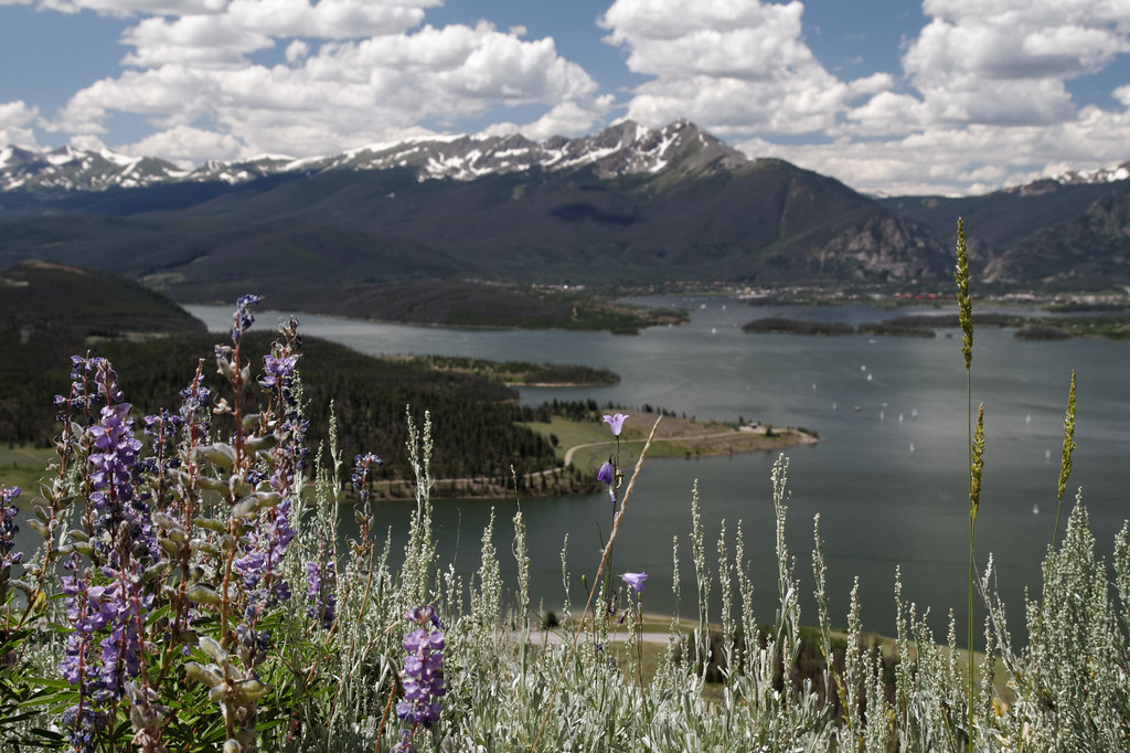 Tenderfoot MountainHiking · ~7 min drivePhoto: KimonBerlin, CC BY-SA 2.0 (via Flickr)
- Ridge TrailHiking · ~9 min drivePhoto: jjes84, CC BY 2.0 (via Flickr)
- Snow PeakHiking · ~7 min drive
- Oro Grande TrailHiking · ~7 min drivePhoto: jjes84, CC BY 2.0 (via Flickr)
- BB TrailHiking · ~7 min drivePhoto: jjes84, CC BY 2.0 (via Flickr)
Best time to visit Ute Peak
No month here meets our mild-weather rule. Best months have typical highs of 55–85 °F, lows of 30 °F or warmer (32 °F where the station doesn't record snow), at most one snowy day and no more than 12 wet days.
Jan
27° / 3°
15 wet · 15 snow
Feb
29° / 3°
15 wet · 15 snow
Mar
35° / 8°
14 wet · 14 snow
Apr
40° / 15°
13 wet · 13 snow
May
49° / 25°
10 wet · 8 snow
Jun
61° / 34°
8 wet · 2 snow
Jul
67° / 40°
13 wet
Aug
64° / 39°
15 wet
Sep
58° / 32°
11 wet · 2 snow
Oct
47° / 21°
9 wet · 7 snow
Nov
35° / 11°
12 wet · 12 snow
Dec
27° / 3°
15 wet · 15 snow
Typical high / low (°F) and days with rain or snow, 1991–2020. Measured at Climax, CO, 24 mi away at 11,344 ft. The station sits about 1,100 ft lower than this place, so expect it a little cooler here. Source: NOAA NCEI U.S. Climate Normals 1991–2020.


Route details
- Distance
- 25.0 mi round trip
- Climbing
- About 361 ft
- Starts at
- UTE PASS (about 12,470 ft)
- Summit
- 12,496 ft
- Difficulty
- Hard
Getting there
Park at UTE PASS.
Season
Season: Year-round.
Other routes up Ptarmigan Peak
Questions about this route
How long is the Ute Peak on Ptarmigan Peak?
About 25.0 mi round trip from UTE PASS (about 12,470 ft).
How much elevation gain is on the Ute Peak?
About 361 ft of climbing round trip.
How hard is the Ute Peak?
It is rated hard.
Where does the Ute Peak start?
UTE PASS (about 12,470 ft).
When is the best time for the Ute Peak?
Year-round.
How many routes go up Ptarmigan Peak?
3: Ptarmigan Peak, Ute Peak and Ute Peak.
Conditions and forecast on Ptarmigan Peak
Daily highs and lows, wind and the chance of precipitation at the summit and route start for the next 7 days, from the Open-Meteo model.
