Camp Hale Memorial Campground
Campground
Campground · < 0.1 mi from the trail
Alert in the area
The Forest Service lists 6 alerts for White River National Forest.
FSR 286, Radical Hill, is closed due to washouts and unsafe conditions
Agency alert covering White River National Forest · USFS · White River National Forest
Limited parking at Snowmass Creek Trailhead
Agency alert covering White River National Forest · USFS · White River National Forest
Grizzly Creek Trail Closure
Agency alert covering White River National Forest · Order 2026-02 · USFS · White River National Forest
Ruedi Marina Day Use area Dump Station is CLOSED
Agency alert covering White River National Forest · USFS · White River National Forest
Asbestos safety closure - Camp Hale
Agency alert covering White River National Forest · USFS · White River National Forest
As of · Source: USFS · White River National Forest. Agencies don't list every closure — check before you go.
This campground is located in the Camp Hale National Historic Site about 15 miles south of Minturn, CO in a wide, flat, open valley sparsely forested by lodgepole pines. There are 21 campsites available. It is near the headwaters of the Eagle River with the East Fork River close by. The Colorado Trail crosses within walking distance and the gravel roads in the Camp Hale area provide easy walking and bike paths. Fishing is also available in numerous small streams nearby. Camp Hale Memorial Campground sits at an elevation of 9,200 feet, offering guests a wonderful setting for recreation and relaxation.Camp Hale is historic because the 10th Mountain Division, an unit of 15,000 men, trained here in mountaineering and skiing techniques during WWII. Some saw combat in Italy during the war. Most of the buildings have been torn down, but foundations and other "footprints " remain. The 99th Infantry Battalion (Viking Battalion) also trained at Camp Hale. There are interpretive signs along US Route 24, explaining the history and accomplishments of Camp Hale.
Camp Hale Memorial Campground
Campground
Hot Heads Chicken
Fast food
 If it rainsPlazak, CC BY 3.0 · Wikimedia Commons
Matchless Mine
Attraction
Places © OpenStreetMap contributors · Photos: Plazak, CC BY 3.0 (commons)
More in LeadvilleNot on Roamze yet. Their page has how to reach them.
 JACKAL HUT VIA RANCH CREEKHikingPhoto: KimonBerlin, CC BY-SA 2.0 (via Flickr)0.5 mi
 Homestake CreekCanoeingPhoto: Jeffrey Beall, CC BY 4.0 (via Wikimedia Commons)5 mi
Source: Roamze catalog (indexable pages within 10 miles, PostGIS distance)
 Gore Creek CampgroundCamping · ~25 min drivePhoto: KimonBerlin — CC BY-SA 2.0 (via Flickr)
Also worth it near here
JACKAL HUT VIA RANCH CREEKHiking · Next doorPhoto: KimonBerlin, CC BY-SA 2.0 (via Flickr) CDNST - ColoradoMountain biking · ~3 min drivePhoto: Jeffrey Beall, CC BY 4.0 (via Wikimedia Commons)
 10Th Mountain DivideCross-country skiing · ~7 min drivePhoto: Jeffrey Beall, CC BY 4.0 (via Wikimedia Commons)
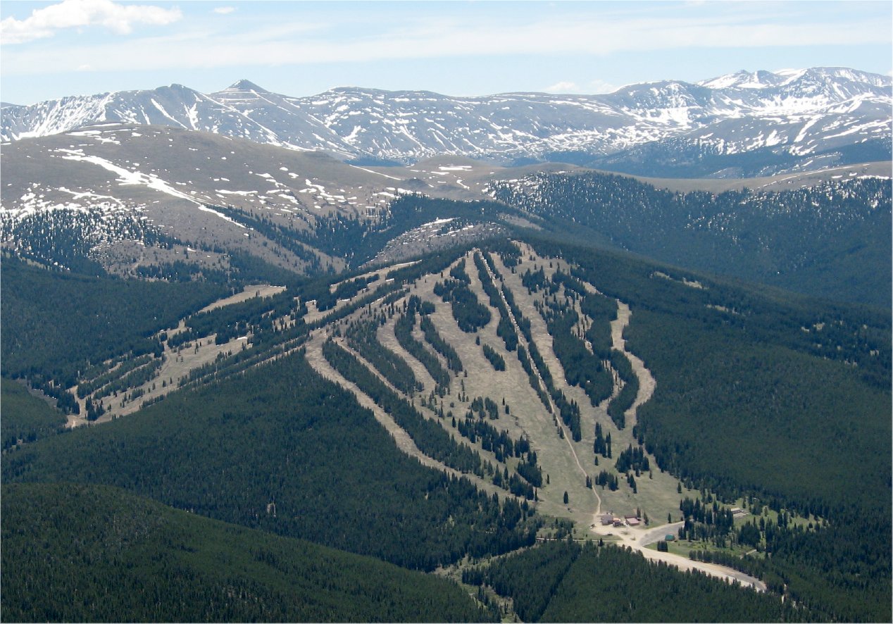 Ski CooperDownhill skiing · ~8 min drivePhoto: The original uploader was Sculptorjones at English Wikipedia., Public domain (via Wikimedia Commons)
Best months: June–August. Best months have typical highs of 55–85 °F, lows of 30 °F or warmer (32 °F where the station doesn't record snow), at most one snowy day and no more than 12 wet days.
Jan
31° / 3°
8 wet
Feb
33° / 3°
8 wet
Mar
39° / 9°
8 wet
Apr
44° / 18°
8 wet
May
55° / 27°
9 wet
Jun
68° / 34°
9 wet
Jul
73° / 39°
12 wet
Aug
70° / 38°
12 wet
Sep
62° / 31°
8 wet
Oct
51° / 23°
6 wet
Nov
39° / 14°
7 wet
Dec
31° / 6°
7 wet
Typical high / low (°F) and days with rain or snow, 1991–2020. Measured at Sugarloaf Rsvr, CO, 12.1 mi away at 9,738 ft. The station sits about 500 ft higher than this place, so expect it a little warmer here. This station doesn't record snowfall. Source: NOAA NCEI U.S. Climate Normals 1991–2020.
Camp Hale Memorial Campground
Book on Recreation.gov
