Whiskeytown Falls
- 2,789 ft
- elevation
- National Park Service
- managed by
- Jan–Feb, Apr–May
- best months
Is Whiskeytown Falls open right now?
No closures listed
The National Park Service lists no closures for Whiskeytown-Shasta-Trinity National Recreation Area.
As of · Source: NPS · Whiskeytown-Shasta-Trinity National Recreation Area. Agencies don't list every closure — check before you go.
Whiskeytown Falls is a waterfall in California's Whiskeytown-Shasta-Trinity National Recreation Area, managed by the National Park Service. The nearest town is French Gulch, about 7 miles away, and the falls sit at roughly 2,800 feet. The most comfortable months are typically late spring and early fall. Typical averages from a nearby weather station in Redding show May highs around 77°F and October highs around 76°F, while July and August average in the mid-90s. That station sits well below the falls, so temperatures at the falls run cooler. The Whiskeytown Falls Trail starts just 0.1 mile away, and the James K. Carr Trail to Whiskeytown Falls is under a mile off. Crystal Creek Falls is about 1.3 miles away, and Willow Creek, a canoeing spot, is about 2.8 miles away.
- Elevation
- 2,789 ft
- Land manager
- National Park Service
Elevation from USGS 3D Elevation Program terrain data (about 10 m resolution).
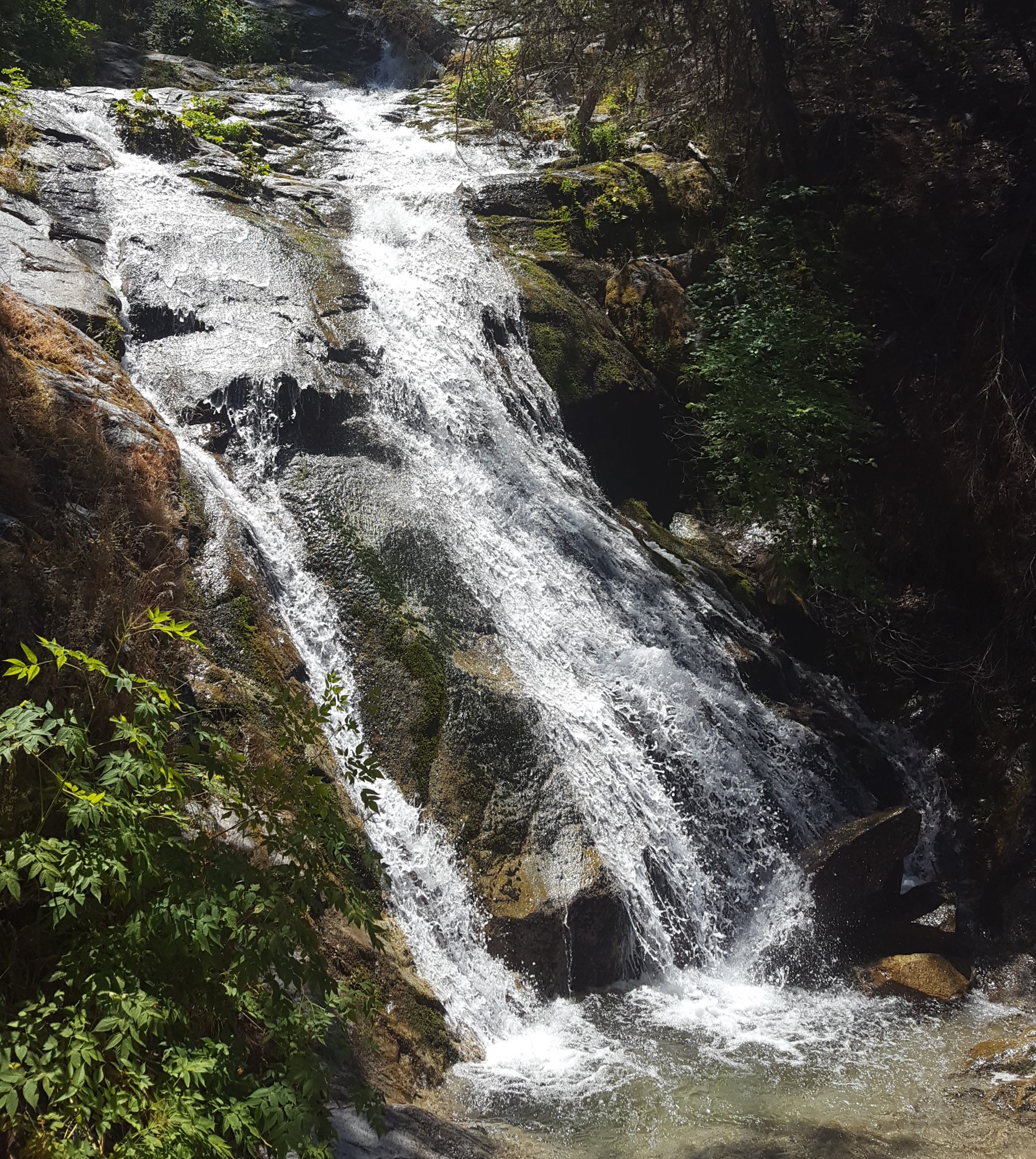
 Whiskeytown Falls TrailHikingPhoto: donjd2, CC BY 2.0 (via Flickr)0.1 mi
 James K. Carr Trail to Whiskeytown FallsHikingPhoto: NPS/Lisa Johnston0.9 mi
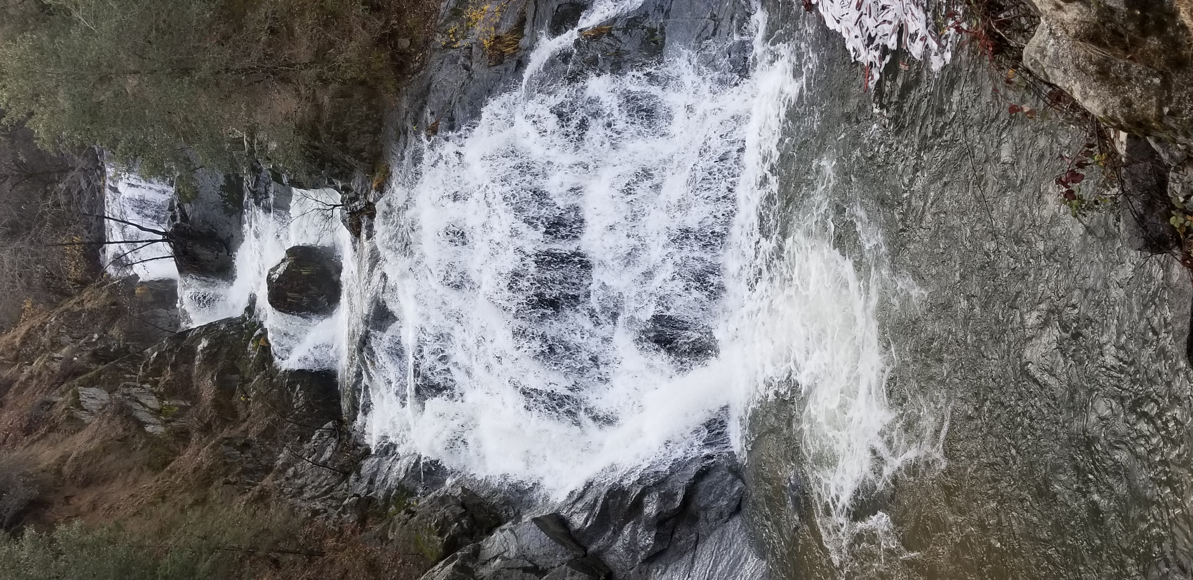 Crystal Creek FallsHikingPhoto: NPS1.3 mi
- Willow CreekCanoeing2.8 mi
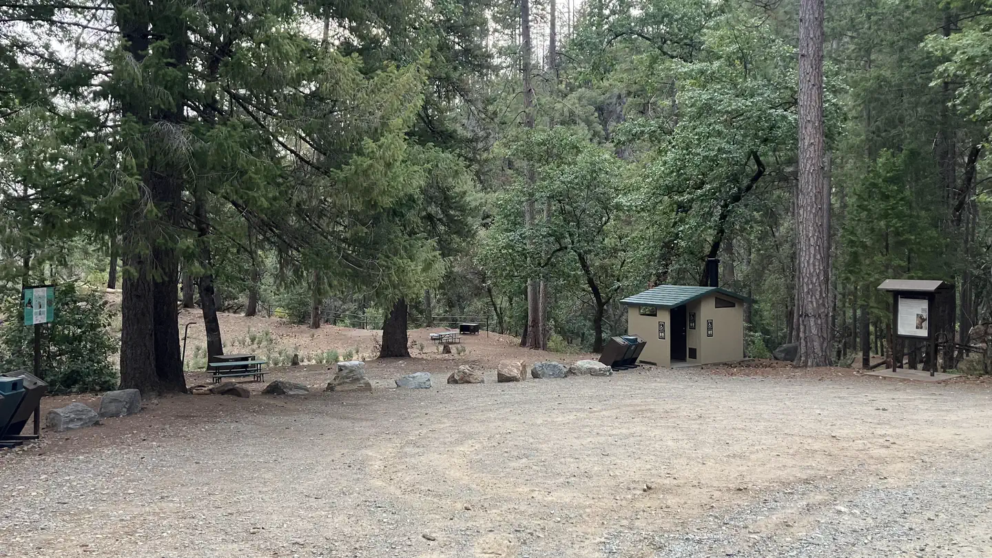 Sheep Camp Primitive CampgroundSaltwater fishing4.3 mi
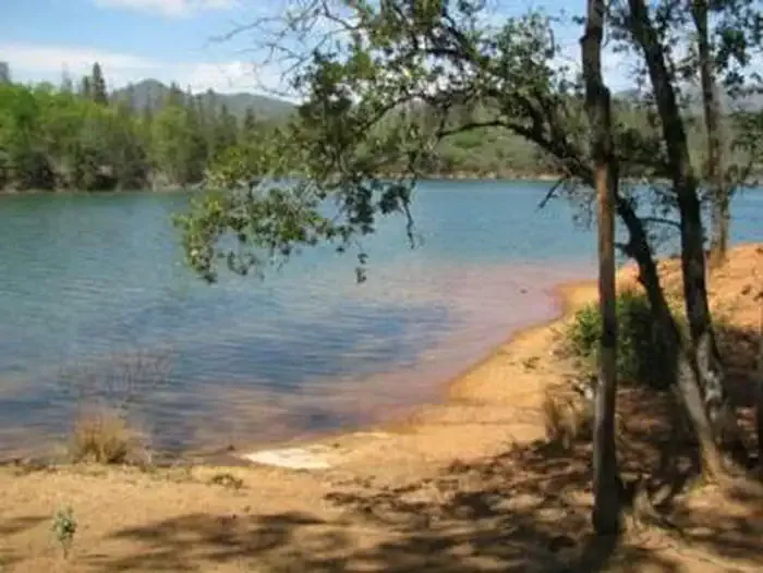 DRY CREEK GROUP CAMPGROUND (Whiskeytown NRA)CampingPhoto: Recreation.gov (RIDB) / public domain4.6 mi
- Whiskey Creek Group Picnic Area (Whiskeytown NRA)Camping6.3 mi
- Grass Valley CreekCanoeing6.5 mi
Source: Roamze catalog (indexable pages within 10 miles, PostGIS distance)
 Mossbrae FallsWaterfall · ~1h 21m drivePhoto: Pinecar at English Wikipedia, Public domain (via Wikimedia Commons)
- Crystal Creek FallsWaterfall · ~2 min drive
- Canyon Creek FallsWaterfall · ~48 min drive
- Clover Creek FallsWaterfall · ~59 min drive
- Kickapoo WaterfallWaterfall · ~1h drive
- Potem FallsWaterfall · ~1h 3m drive
- Bear Creek FallsWaterfall · ~1h 6m drive
- Hatchet Creek FallsWaterfall · ~1h 12m drive
- Burnt Ranch FallsWaterfall · ~1h 16m drive
- Faery FallsWaterfall · ~1h 21m drive
Best time to visit Whiskeytown Falls
Best months: January–February, April–May and October–November. Best months have typical highs of 55–85 °F, lows of 30 °F or warmer (32 °F where the station doesn't record snow), at most one snowy day and no more than 12 wet days.
Jan
55° / 37°
11 wet
Feb
58° / 38°
11 wet
Mar
62° / 40°
13 wet
Apr
68° / 45°
10 wet
May
77° / 51°
8 wet
Jun
87° / 58°
4 wet
Jul
96° / 63°
1 wet
Aug
94° / 61°
2 wet
Sep
89° / 57°
3 wet
Oct
76° / 49°
6 wet
Nov
61° / 41°
9 wet
Dec
53° / 36°
12 wet
Typical high / low (°F) and days with rain or snow, 1991–2020. Measured at Redding 12 Wnw, CA, 3.7 mi away at 1,418 ft. The station sits about 1,400 ft lower than this place, so expect it a little cooler here. This station doesn't record snowfall. Source: NOAA NCEI U.S. Climate Normals 1991–2020.
