Crystal Creek Falls
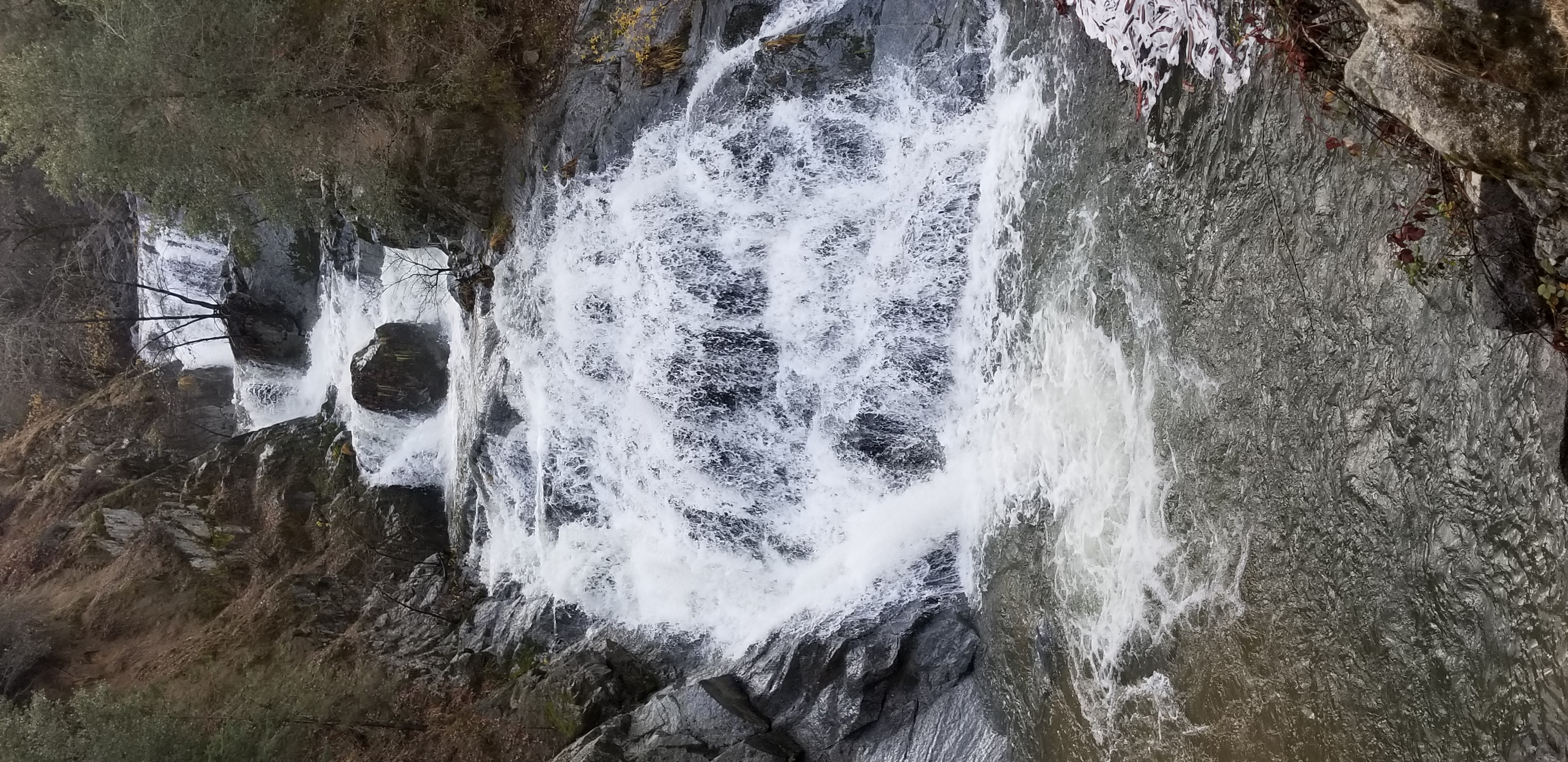 Photo: NPS
- 4.3 mi
- round trip
- 1,086 ft
- climb
- 3,035 ft
- high point
- Out and back
- route
- Jan–Feb, Apr–May
- best months
Is Crystal Creek Falls open right now?
No closures listed
The National Park Service lists no closures for Whiskeytown-Shasta-Trinity National Recreation Area.
As of · Source: NPS · Whiskeytown-Shasta-Trinity National Recreation Area. Agencies don't list every closure — check before you go.
The short 0.3 mile trail to Crystal Creek Falls is paved, flat, and accessible. The shallow natural pool at the base of the cascade is a popular spot for swimming and wading in the summer. There is ample shade. Crystal Creek Falls was moved to its present location in the early 1960s to make way for the Trinity River diversion tunnel. Prior to this time, the small waterfall was located directly where the small valve house building now stands (looking at the waterfall from the end of the paved trail, the building is just to your right). The diversion tunnel runs 10 miles and dumps water into Whiskeytown Lake via the Judge Francis Carr Powerhouse. When it is necessary to dewater the tunnel for maintenance, the valve is turned off and the excess water from the tunnel spills into Crystal Creek.
Best time to go · Jan–Feb, Apr–May
Best time to visit Crystal Creek Falls
Best months: January–February, April–May and October–November. Best months have typical highs of 55–85 °F, lows of 30 °F or warmer (32 °F where the station doesn't record snow), at most one snowy day and no more than 12 wet days.
Jan
55° / 37°
11 wet
Feb
58° / 38°
11 wet
Mar
62° / 40°
13 wet
Apr
68° / 45°
10 wet
May
77° / 51°
8 wet
Jun
87° / 58°
4 wet
Jul
96° / 63°
1 wet
Aug
94° / 61°
2 wet
Sep
89° / 57°
3 wet
Oct
76° / 49°
6 wet
Nov
61° / 41°
9 wet
Dec
53° / 36°
12 wet
Typical high / low (°F) and days with rain or snow, 1991–2020. Measured at Redding 12 Wnw, CA, 3.2 mi away at 1,418 ft. The station sits about 1,600 ft lower than this place, so expect it a little cooler here. This station doesn't record snowfall. Source: NOAA NCEI U.S. Climate Normals 1991–2020.
Keep exploring — more trails worth the drive
 Photo: donjd2, CC BY 2.0 (via Flickr)
Crystal Creek Falls ADA Trail
Next door
0.66-mile out-and-back trail to Crystal Creek Falls in California.
HIKE
James K. Carr Trail to Whiskeytown Falls
~1 min drive
The age of discovery continues into the present at Whiskeytown National Recreation Area... While studying aerial photographs of the park in 2004, long-time park natural resource manager Russ Weatherbee discovered a waterfall. Russ then visited the site and may have even…
Photo: donjd2, CC BY 2.0 (via Flickr)Whiskeytown Falls Trail
~2 min drive
1.94-mile out-and-back hike in California with 1,007 ft elevation gain.
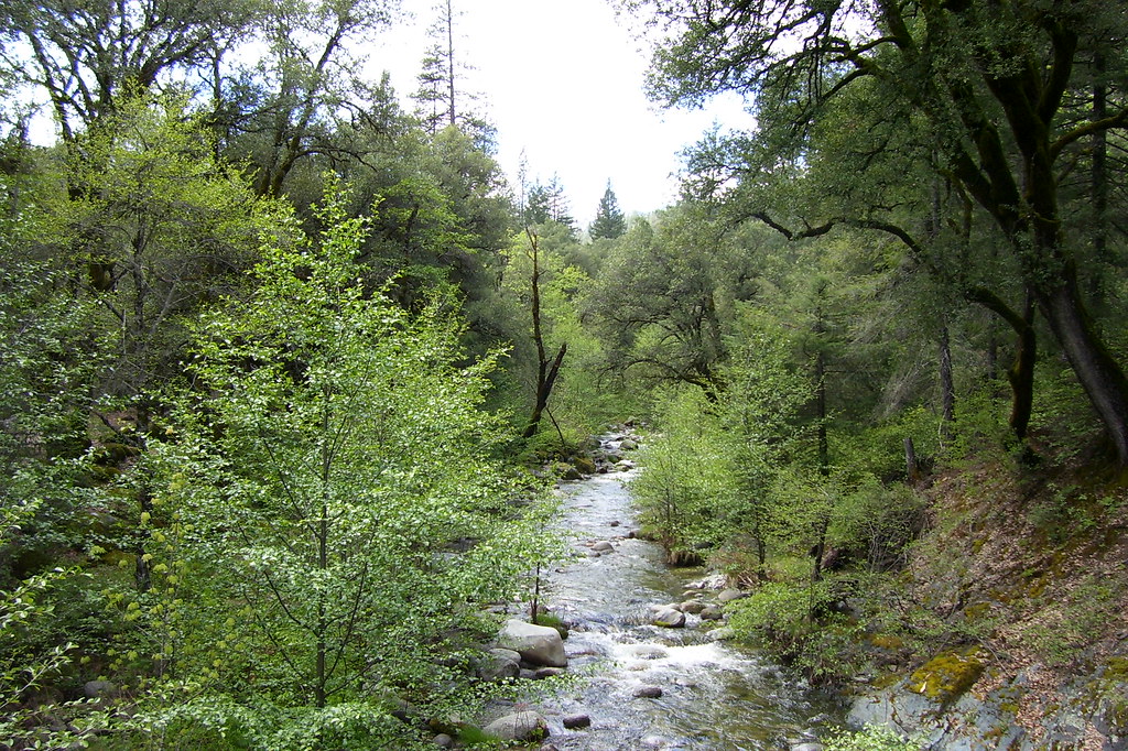 Photo: Scottb211, CC BY 2.0 (via Flickr)
Davis Gulch Trail
~9 min drive
6.42-mile out-and-back trail in California with 2,563 ft elevation gain
HIKE
Princess Ditch Trail
~16 min drive
15.76-mile out-and-back trail in California with 2,579 ft elevation gain/loss.
 Photo: AB87, CC BY 3.0 (via Wikimedia Commons)
Oak Bottom Ditch Trail
~4 min drive
2.58-mile out-and-back hike in California with 664 ft elevation gain
Photo: Scottb211, CC BY 2.0 (via Flickr)Peltier Valley Trail
~10 min drive
1.9-mile out-and-back trail in California with 864 ft elevation gain
HIKE
Papoose Trail
~7 min drive
9.72-mile out-and-back hike in California with 1,134 ft gain.
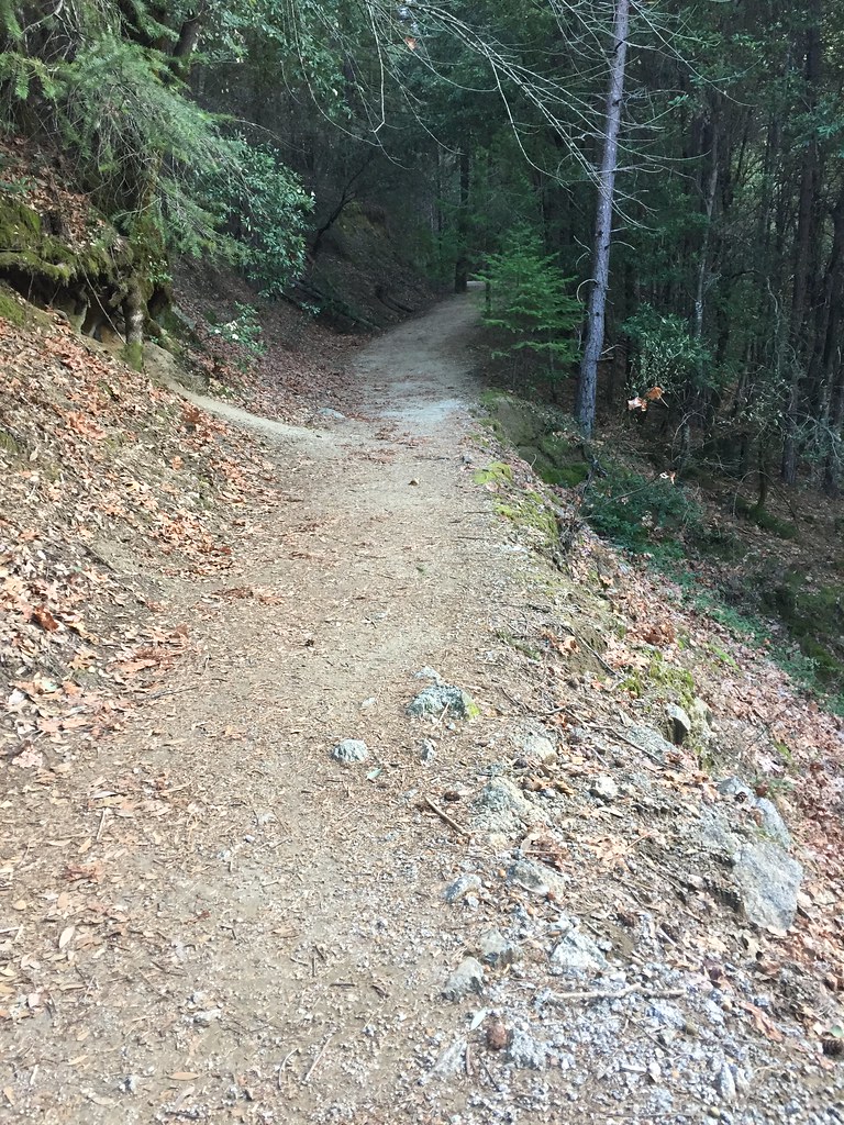 Photo: ray_explores, CC BY 2.0 (via Flickr)
Lower Brandy Creek Trail
~9 min drive
0.62-mile out-and-back hike with 200 ft elevation gain in California
Photo: Scottb211, CC BY 2.0 (via Flickr)Monarch Mountain Trail
~10 min drive
4.22-mile out-and-back hike in California with 925 ft elevation gain.
