Yellow Pine Administrative Campground
Campground
Campground · 4.0 mi from the trail
 Photo: David Hornor, CC BY 2.5 (via Wikimedia Commons)
Closure in the area
There's a closure order in Yosemite National Park. It doesn't name Silver Strand Falls, so check the source for the area it covers (3 listed).
Big Oak Flat Road will close Nov 18 at 8 am
Park closure covering Yosemite National Park · NPS · Yosemite National Park
Campgrounds and Curry Village tent cabins are closed due to a winter storm
Park closure covering Yosemite National Park · NPS · Yosemite National Park
Tioga and Glacier Point Roads are closed due snow
Park closure covering Yosemite National Park · NPS · Yosemite National Park
As of · Source: NPS · Yosemite National Park. Agencies don't list every closure — check before you go.
Silver Strand Falls is a waterfall in California's Yosemite National Park, within the Yosemite Wilderness. It sits at about 6,485 feet, and the National Park Service manages the land. The nearest town is Foresta, about 4 miles away. Summer is the most comfortable time to visit. Typical averages from a nearby weather station show July and August highs around 75°F with only about one wet day a month, while winter highs stay in the low 40s. The Widow's Tears Area climbing spot is just 0.4 miles away, and the Valley Loop Trail and Aw. Wawona Road (highway 41) are both within a mile. Bridalveil Creek Campground, about 4 miles off, is the closest place to camp.
Yellow Pine Administrative Campground
Campground
Base Camp Eatery
Fast food
Roosevelt Point
Viewpoint
Scenic viewpoint in Yosemite National Park
Places © OpenStreetMap contributors
More in Yosemite ValleyElevation from USGS 3D Elevation Program terrain data (about 10 m resolution).
 The Widow's Tears AreaRock climbingPhoto: Richard Wood, CC BY-SA 3.0 (via Wikimedia Commons)0.4 mi
 Valley Loop TrailHikingPhoto: btwashburn, CC BY 2.0 (via Flickr)0.9 mi
 Aw. Wawona Road (highway 41)Rock climbingPhoto: Dicie Hinaga, CC BY 3.0 (via Wikimedia Commons)0.9 mi
 Old Wawona RoadHikingPhoto: Richard Wood, CC BY-SA 3.0 (via Wikimedia Commons)1 mi
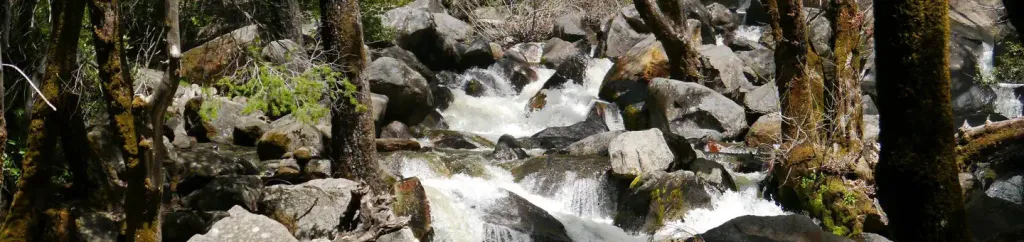 Bridalveil Creek CampgroundCampingPhoto: Recreation.gov (RIDB) / public domain4 mi
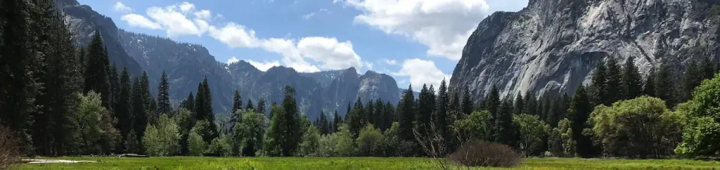 Lower Pines CampgroundCampingPhoto: Recreation.gov (RIDB) / public domain6.2 mi
 Merced RiverCanoeingPhoto: Kylir Horton from Eagle Mountain, Utah, United States, CC BY 2.0 (via Wikimedia Commons)8.8 mi
Source: Roamze catalog (indexable pages within 10 miles, PostGIS distance)
 Bridalveil FallWaterfall · ~3 min drivePhoto: Walter Siegmund (talk · contribs), CC BY 2.5 (via Wikimedia Commons)
 Ribbon FallWaterfall · ~4 min drivePhoto: Jay McKinsey (Jaymckinsey at en.wikipedia), CC BY-SA 3.0 (via Wikimedia Commons)
 Yosemite FallsWaterfall · ~9 min drivePhoto: King of Hearts, CC BY-SA 4.0 (via Wikimedia Commons)
 Staircase FallsWaterfall · ~10 min drivePhoto: Ambitious Wench, CC BY-SA 2.0 (via Wikimedia Commons)
 Illilouette FallsWaterfall · ~10 min drivePhoto: Walter Siegmund, CC BY 2.5 (via Wikimedia Commons)
 Royal Arch CascadeWaterfall · ~11 min drivePhoto: Matthes, Public domain (via Wikimedia Commons)
 Lehamite FallsWaterfall · ~11 min drivePhoto: Eric Polk, CC BY-SA 3.0 (via Wikimedia Commons)
 Vernal FallWaterfall · ~12 min drivePhoto: Diliff, CC BY-SA 3.0 (via Wikimedia Commons)
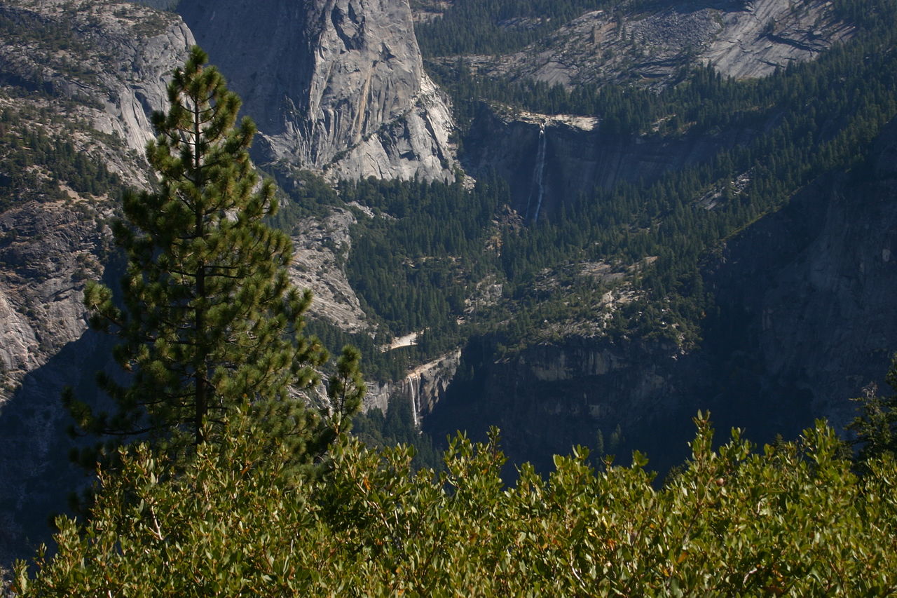 Nevada FallWaterfall · ~13 min drivePhoto: self, Public domain (via Wikimedia Commons)
 Snow Creek FallsWaterfall · ~15 min drivePhoto: Taken by flickr user Ambitious Wench on June 5, 2006. CC-BY-SA-2.0 as of 2007-03-02.
https://www.flickr.com/photos/ambitious_wench/160984135/, CC BY-SA 2.0 (via Wikimedia Commons)
Also worth it near here
The Widow's Tears AreaRock climbing · Next doorPhoto: Richard Wood, CC BY-SA 3.0 (via Wikimedia Commons)Valley Loop TrailHiking · ~1 min drivePhoto: btwashburn, CC BY 2.0 (via Flickr)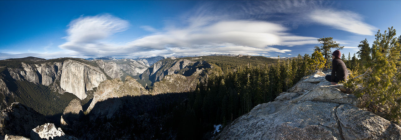 Dewey PointSummit · ~2 min drivePhoto: Jeffrey Pang from Berkeley, CA, USA, CC BY 2.0 (via Wikimedia Commons)
Best months: May–October. Best months have typical highs of 55–85 °F, lows of 30 °F or warmer (32 °F where the station doesn't record snow), at most one snowy day and no more than 12 wet days.
Jan
44° / 32°
10 wet
Feb
42° / 31°
9 wet
Mar
45° / 32°
10 wet
Apr
49° / 36°
8 wet
May
58° / 43°
7 wet
Jun
67° / 52°
3 wet
Jul
75° / 60°
1 wet
Aug
75° / 59°
1 wet
Sep
70° / 54°
2 wet
Oct
60° / 46°
4 wet
Nov
49° / 37°
7 wet
Dec
43° / 32°
9 wet
Typical high / low (°F) and days with rain or snow, 1991–2020. Measured at Yosemite Village 12 W, CA, 9.1 mi away at 6,620 ft. This station doesn't record snowfall. Source: NOAA NCEI U.S. Climate Normals 1991–2020.
