Upper Pines Campground
Campground
Sites open the weekend of Nov 20 on Recreation.gov
 Photo: Diliff, CC BY-SA 3.0 (via Wikimedia Commons)
Closure in the area
There's a closure order in Yosemite National Park. It doesn't name Vernal Fall, so check the source for the area it covers.
Tioga and Glacier Point Roads are closed due snow
Park closure covering Yosemite National Park · NPS · Yosemite National Park
As of · Source: NPS · Yosemite National Park. Agencies don't list every closure — check before you go.
Vernal Fall is a waterfall in Yosemite National Park, within the Yosemite Wilderness and managed by the National Park Service. It sits at about 5,175 feet, roughly 2 miles from Yosemite Valley. For comfortable weather, aim for late spring or early fall. Typical averages from a nearby weather station in Yosemite Valley show May highs around 70°F and October highs around 71°F, while July and August average highs near 89°F. That station sits well below the fall, so temperatures here run cooler. The Mist Trail passes just 0.3 miles away, with the Mist Trail Boulders and Valley South Side climbing areas within about half a mile. For an overnight stay, Lower Pines Campground is about 1.4 miles off.
Upper Pines Campground
Campground
Curry Village Pavillion
Fast food
 If it rainsEeekster, CC BY 3.0 · Wikimedia Commons
Sierra Point
Viewpoint
Point in Yosemite National Park at the eastern end of the valley
Places © OpenStreetMap contributors · Photos: Eeekster, CC BY 3.0 (commons)
More in Yosemite ValleyElevation from USGS 3D Elevation Program terrain data (about 10 m resolution).
 Mist TrailHikingPhoto: Walter Siegmund, CC BY 2.5 (via Wikimedia Commons)0.3 mi
 Mist Trail BouldersRock climbingPhoto: Seth Tisue, CC BY-SA 2.0 (via Flickr)0.4 mi
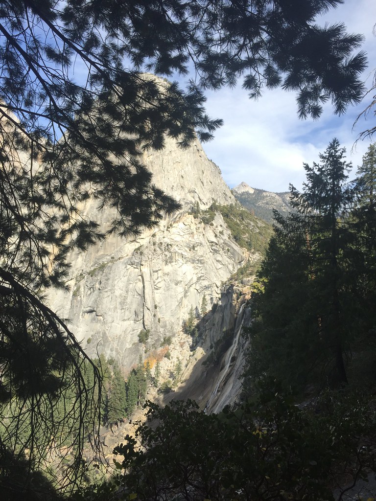 Valley South SideRock climbingPhoto: bensondoc, CC BY-SA 2.0 (via Flickr)0.6 mi
 Stock TrailHikingPhoto: mlcastle, CC BY-SA 2.0 (via Flickr)0.7 mi
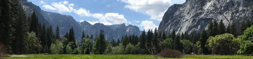 Lower Pines CampgroundCampingPhoto: Recreation.gov (RIDB) / public domain1.4 mi
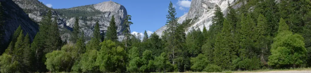 North Pines CampgroundCampingPhoto: Recreation.gov (RIDB) / public domain1.4 mi
 Merced RiverCanoeingPhoto: Kylir Horton from Eagle Mountain, Utah, United States, CC BY 2.0 (via Wikimedia Commons)2.4 mi
Source: Roamze catalog (indexable pages within 10 miles, PostGIS distance)
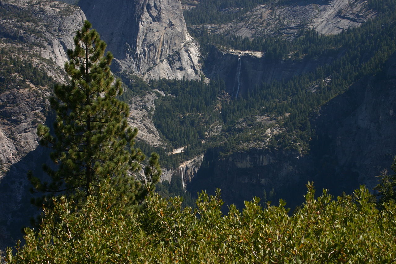 Nevada FallWaterfall · ~1 min drivePhoto: self, Public domain (via Wikimedia Commons)
 Illilouette FallsWaterfall · ~2 min drivePhoto: Walter Siegmund, CC BY 2.5 (via Wikimedia Commons)
 Staircase FallsWaterfall · ~3 min drivePhoto: Ambitious Wench, CC BY-SA 2.0 (via Wikimedia Commons)
 Royal Arch CascadeWaterfall · ~3 min drivePhoto: Matthes, Public domain (via Wikimedia Commons)
 Snow Creek FallsWaterfall · ~4 min drivePhoto: Taken by flickr user Ambitious Wench on June 5, 2006. CC-BY-SA-2.0 as of 2007-03-02.
https://www.flickr.com/photos/ambitious_wench/160984135/, CC BY-SA 2.0 (via Wikimedia Commons)
 Lehamite FallsWaterfall · ~5 min drivePhoto: Eric Polk, CC BY-SA 3.0 (via Wikimedia Commons)
 Yosemite FallsWaterfall · ~6 min drivePhoto: King of Hearts, CC BY-SA 4.0 (via Wikimedia Commons)
 Bridalveil FallWaterfall · ~10 min drivePhoto: Walter Siegmund (talk · contribs), CC BY 2.5 (via Wikimedia Commons)
 Ribbon FallWaterfall · ~10 min drivePhoto: Jay McKinsey (Jaymckinsey at en.wikipedia), CC BY-SA 3.0 (via Wikimedia Commons)
 Silver Strand FallsWaterfall · ~12 min drivePhoto: David Hornor, CC BY 2.5 (via Wikimedia Commons)
Also worth it near here
Mist TrailHiking · Next doorPhoto: Walter Siegmund, CC BY 2.5 (via Wikimedia Commons)Mist Trail BouldersRock climbing · Next doorPhoto: Seth Tisue, CC BY-SA 2.0 (via Flickr) Sierra PointSummit · Next doorPhoto: Wingchi Poon, CC BY-SA 3.0 (via Wikimedia Commons)
 Upper Pines CampgroundCamping · ~2 min drivePhoto: Andrew Burnham, CC BY-SA 3.0 (via Wikimedia Commons)
Best months: March–June and September–November. Best months have typical highs of 55–85 °F, lows of 30 °F or warmer (32 °F where the station doesn't record snow), at most one snowy day and no more than 12 wet days.
Jan
48° / 29°
9 wet
Feb
51° / 30°
9 wet
Mar
57° / 33°
10 wet
Apr
63° / 38°
8 wet
May
70° / 45°
6 wet
Jun
80° / 51°
3 wet
Jul
89° / 57°
1 wet
Aug
89° / 57°
1 wet
Sep
83° / 51°
2 wet
Oct
71° / 41°
3 wet
Nov
56° / 32°
6 wet
Dec
46° / 28°
8 wet
Typical high / low (°F) and days with rain or snow, 1991–2020. Measured at Yosemite Park Hq, CA, 2.8 mi away at 4,018 ft. The station sits about 1,200 ft lower than this place, so expect it a little cooler here. This station doesn't record snowfall. Source: NOAA NCEI U.S. Climate Normals 1991–2020.
