Salmon Creek Falls
- 6,477 ft
- elevation
- Forest Service
- managed by
Is Salmon Creek Falls open right now?
Closure in the area
There's a closure order in Sequoia National Forest. It doesn't name Salmon Creek Falls, so check the source for the area it covers (2 listed).
Tule River Glass Container Prohibition Area
Agency closure covering Sequoia National Forest · Order 0513-26-02 · USFS · Sequoia National Forest
Trail of 100 Giants Boardwalk and Area Closure
Agency closure covering Sequoia National Forest · Order 0513-26-03 · USFS · Sequoia National Forest
PUBLIC NUDITY PROHIBITION - Sequoia National Forest
Agency alert covering Sequoia National Forest · Order 0513-26-06 · USFS · Sequoia National Forest
Chico Flat Dispersed Camping Area Prohibition 26-27
Agency alert covering Sequoia National Forest · Order 0513-26-09 · USFS · Sequoia National Forest
Wildlife Alert - BEARS
Agency alert covering Sequoia National Forest · USFS · Sequoia National Forest
As of · Source: USFS · Sequoia National Forest. Agencies don't list every closure — check before you go.
Salmon Creek Falls is a waterfall in Tulare County, California, sitting at about 6,477 feet in the Kern River Ranger District of Sequoia National Forest. The nearest town is Kernville, about 11 miles away, and the Forest Service manages the surrounding land. The Rincon hike starts about 1.7 miles away, and Goldledge Campground is about 2.8 miles off. For more overnight options, Chamisa Flats Dispersed Camping Area is about 2.9 miles away, and the Sherman Pass climbing area is about 5.6 miles away.
- Elevation
- 6,477 ft
- Land manager
- Forest Service
Elevation from USGS 3D Elevation Program terrain data (about 10 m resolution).
 RinconHikingPhoto: anon4809, Public Domain Dedication (CC0) (via Flickr)1.7 mi
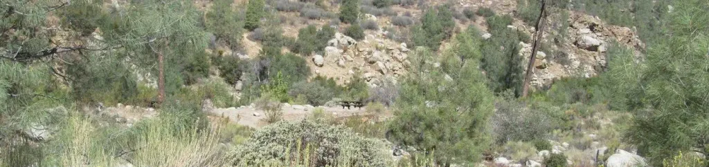 Goldledge CampgroundCampingPhoto: Recreation.gov (RIDB) / public domain2.8 mi
- Chamisa Flats Dispersed Camping AreaCamping2.9 mi
- Calkins Flats Disperseed Camping AreaCamping3.1 mi
 PacksaddleHikingPhoto: inkknife_2000 (7.5 million views +), CC BY-SA 2.0 (via Wikimedia Commons)3.3 mi
 Flynn CanyonHikingPhoto: inkknife_2000 (7.5 million views +), CC BY-SA 2.0 (via Wikimedia Commons)3.5 mi
- Sherman PassRock climbing5.6 mi
- Middle CliffRock climbing6.2 mi
Source: Roamze catalog (indexable pages within 10 miles, PostGIS distance)
 Fossil FallsWaterfall · ~51 min drivePhoto: Wvannorden, CC BY-SA 3.0 (via Wikimedia Commons)
- South Creek FallsWaterfall · ~9 min drive
- Cholollo FallsWaterfall · ~27 min drive
- Volcano FallsWaterfall · ~52 min drive
- Tufa FallsWaterfall · ~1h 5m drive
- Chagoopa FallsWaterfall · ~1h 6m drive
- Marble FallsWaterfall · ~1h 23m drive
