Chamisa Flats Dispersed Camping Area
- Feb–May, Oct–Nov
- best months
Is Chamisa Flats Dispersed Camping Area open right now?
Closure in the area
There's a closure order in Sequoia National Forest. It doesn't name Chamisa Flats Dispersed Camping Area, so check the source for the area it covers (2 listed).
Tule River Glass Container Prohibition Area
Agency closure covering Sequoia National Forest · Order 0513-26-02 · USFS · Sequoia National Forest
Trail of 100 Giants Boardwalk and Area Closure
Agency closure covering Sequoia National Forest · Order 0513-26-03 · USFS · Sequoia National Forest
PUBLIC NUDITY PROHIBITION - Sequoia National Forest
Agency alert covering Sequoia National Forest · Order 0513-26-06 · USFS · Sequoia National Forest
Chico Flat Dispersed Camping Area Prohibition 26-27
Agency alert covering Sequoia National Forest · Order 0513-26-09 · USFS · Sequoia National Forest
Wildlife Alert - BEARS
Agency alert covering Sequoia National Forest · USFS · Sequoia National Forest
As of · Source: USFS · Sequoia National Forest. Agencies don't list every closure — check before you go.
- At 3,463 ft
- Kern River Ranger DistrictSequoia National Forest
Chamisa Flats Dispersed Camping Area is a dispersed camping area in the Kern River Ranger District of Sequoia National Forest in California, managed by the Forest Service. It sits among a cluster of other dispersed camping areas and trails, making it an easy addition to a longer trip through the district. There is no fee to camp here, so it works well as a base for exploring the surrounding area. The most comfortable months for a visit are spring and fall. Typical averages from a nearby weather station show May highs around 80°F and October highs around 81°F, while July and August average near 100°F. Calkins Flats Dispersed Camping Area is about half a mile away, and Fairview Campground is about 1.2 miles off. Hikers can head to Flynn Canyon, about 0.8 miles away, or Tobias Creek, about 1.2 miles away.
- Calkins Flats Disperseed Camping AreaCamping0.5 mi
 Flynn CanyonHikingPhoto: inkknife_2000 (7.5 million views +), CC BY-SA 2.0 (via Wikimedia Commons)0.8 mi
 Tobias CreekHikingPhoto: inkknife_2000 (7.5 million views +), CC BY-SA 2.0 (via Wikimedia Commons)1.2 mi
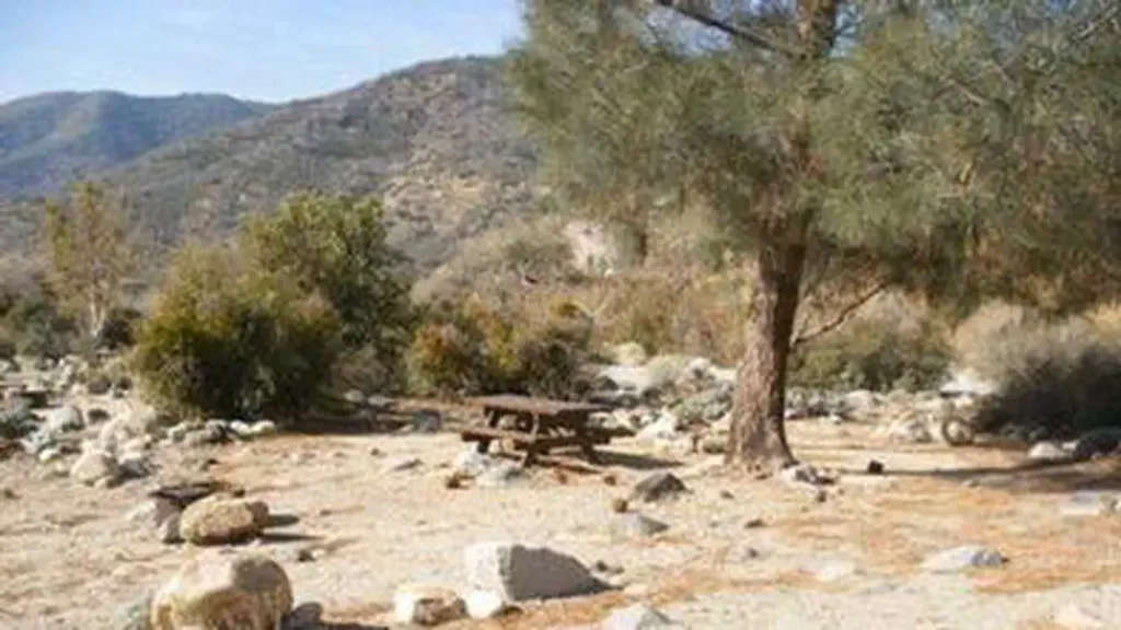 Fairview CampgroundCampingPhoto: Recreation.gov (RIDB) / public domain1.2 mi
 Whiskey FlatHikingPhoto: inkknife_2000 (7.5 million views +), CC BY-SA 2.0 (via Wikimedia Commons)1.2 mi
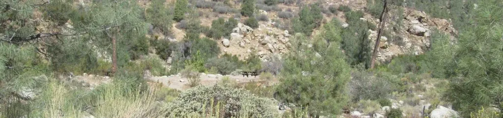 Goldledge CampgroundCampingPhoto: Recreation.gov (RIDB) / public domain3.1 mi
- Sherman PassRock climbing6.1 mi
- Middle CliffRock climbing6.3 mi
Source: Roamze catalog (indexable pages within 10 miles, PostGIS distance)
- Fairview CampgroundCamping · ~2 min drive
- Goldledge CampgroundCamping · ~5 min drive
- Long Meadow GroupCamping · ~12 min drive
- Camp Three CampgroundCamping · ~12 min drive
- Holey MeadowCamping · ~14 min drive
- HeadquartersCamping · ~14 min drive
- Hospital FlatCamping · ~10 min drive
- Calkins Flat Dispersed CampgroundCamping · Next door
- Calkins Flats Disperseed Camping AreaCamping · Next door
- LimestoneCamping · ~6 min drive
Best time to visit Chamisa Flats Dispersed Camping Area
Best months: February–May and October–November. Best months have typical highs of 55–85 °F, lows of 30 °F or warmer (32 °F where the station doesn't record snow), at most one snowy day and no more than 12 wet days.
Jan
61° / 31°
7 wet
Feb
63° / 33°
7 wet
Mar
67° / 36°
7 wet
Apr
72° / 40°
4 wet
May
80° / 48°
2 wet
Jun
91° / 56°
1 wet
Jul
99° / 63°
1 wet
Aug
98° / 62°
1 wet
Sep
92° / 56°
1 wet
Oct
81° / 46°
2 wet
Nov
69° / 36°
3 wet
Dec
60° / 31°
6 wet
Typical high / low (°F) and days with rain or snow, 1991–2020. Measured at Kern River Ph 3, CA, 9.2 mi away at 2,703 ft. The station sits about 800 ft lower than this place, so expect it a little cooler here. This station doesn't record snowfall. Source: NOAA NCEI U.S. Climate Normals 1991–2020.
