Recreation Point
Campground
Campground · 0.8 mi from the trail
Caution at last check
Agency alerts are in effect for this area; weather is good · USFS, OpenWeather · checked 23 h ago
Closure in the area
There's a closure order in Sierra National Forest. It doesn't name Angel Falls, so check the source for the area it covers (3 listed).
Safety Tips for Burned Areas: Garnet Fire Area
Agency closure covering Sierra National Forest · USFS · Sierra National Forest
Wilderness Food and Refuse Storage
Agency closure covering Sierra National Forest · Order 05-15-00-26-03 · USFS · Sierra National Forest
Food and Refuse Storage
Agency closure covering Sierra National Forest · Order 05-15-00-26-02 · USFS · Sierra National Forest
Forest Order removes Fish Camp, Soda Springs, and Little Jackass from closure list
Agency alert covering Sierra National Forest · Order 05-15-00-26-11 · USFS · Sierra National Forest
Ansel Adams and John Muir Wilderness Campfire Restrictions
Agency alert covering Sierra National Forest · Order 05-15-00-26-09 · USFS · Sierra National Forest
As of · Source: USFS · Sierra National Forest. Agencies don't list every closure — check before you go.
Angel Falls is a waterfall in the Bass Lake Ranger District of Sierra National Forest in California, managed by the Forest Service. It sits at about 3,600 feet, roughly 0.8 miles from the town of Bass Lake. Spring and fall are the most comfortable times to visit. Typical averages from a nearby weather station show May highs around 77°F and October highs near 78°F, while July and August average about 95°F. That station sits roughly 1,000 feet lower than the falls, so temperatures at the waterfall run cooler. Several other outings are close by. Devil's Slide and Willow Creek are both under half a mile away, and Recreation Point and Crane Valley campgrounds are each about a mile off.
Recreation Point
Campground
 If it rainsKevin R Foote, CC BY-SA 3.0 · Wikimedia Commons
Mariposa Grove Museum
Museum
Places © OpenStreetMap contributors, Places © Overture Maps Foundation · Photos: Kevin R Foote, CC BY-SA 3.0 (commons)
More in Shaver LakeElevation from USGS 3D Elevation Program terrain data (about 10 m resolution).
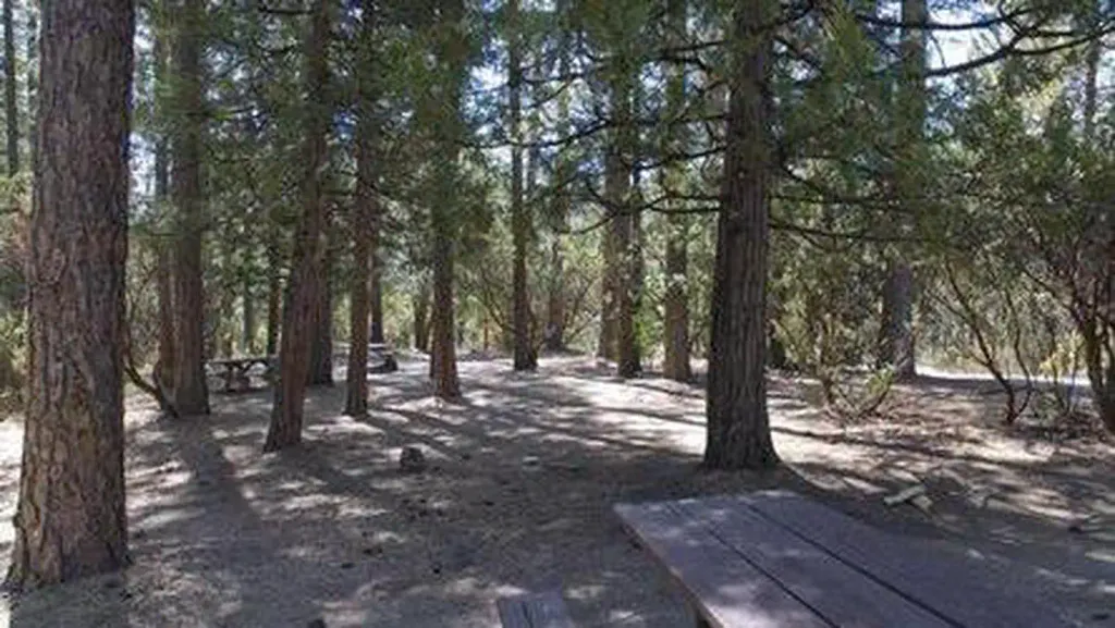 Crane ValleyCampingPhoto: Recreation.gov (RIDB) / public domain0.9 mi
Source: Roamze catalog (indexable pages within 10 miles, PostGIS distance)
 Chilnualna FallWaterfall · ~27 min drivePhoto: Ben Lane, CC BY-SA 2.5 (via Wikimedia Commons)
 Silver Strand FallsWaterfall · ~44 min drivePhoto: David Hornor, CC BY 2.5 (via Wikimedia Commons)
 Illilouette FallsWaterfall · ~44 min drivePhoto: Walter Siegmund, CC BY 2.5 (via Wikimedia Commons)
 Bridalveil FallWaterfall · ~45 min drivePhoto: Walter Siegmund (talk · contribs), CC BY 2.5 (via Wikimedia Commons)
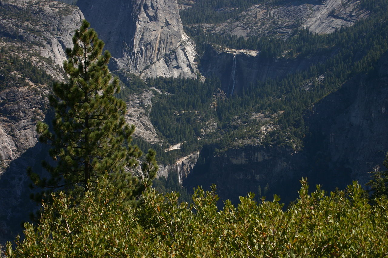 Nevada FallWaterfall · ~46 min drivePhoto: self, Public domain (via Wikimedia Commons)
 Vernal FallWaterfall · ~46 min drivePhoto: Diliff, CC BY-SA 3.0 (via Wikimedia Commons)
 Staircase FallsWaterfall · ~47 min drivePhoto: Ambitious Wench, CC BY-SA 2.0 (via Wikimedia Commons)
 Ribbon FallWaterfall · ~48 min drivePhoto: Jay McKinsey (Jaymckinsey at en.wikipedia), CC BY-SA 3.0 (via Wikimedia Commons)
 Royal Arch CascadeWaterfall · ~49 min drivePhoto: Matthes, Public domain (via Wikimedia Commons)
 Yosemite FallsWaterfall · ~50 min drivePhoto: King of Hearts, CC BY-SA 4.0 (via Wikimedia Commons)
Best months: February–May and October–December. Best months have typical highs of 55–85 °F, lows of 30 °F or warmer (32 °F where the station doesn't record snow), at most one snowy day and no more than 12 wet days.
Jan
57° / 31°
Feb
59° / 32°
Mar
63° / 35°
Apr
67° / 38°
May
77° / 45°
Jun
87° / 51°
Jul
95° / 58°
Aug
95° / 57°
Sep
90° / 52°
Oct
78° / 44°
Nov
65° / 37°
Dec
58° / 34°
Typical high / low (°F) and days with rain or snow, 1991–2020. Measured at N Fk Rs, CA, 8 mi away at 2,645 ft. The station sits about 1,000 ft lower than this place, so expect it a little cooler here. This station doesn't record snowfall. Source: NOAA NCEI U.S. Climate Normals 1991–2020.

