Recreation Point
Campground
Campground · 0.5 mi from the trail
Closure in the area
There's a closure order in Sierra National Forest. It doesn't name Willow Creek, so check the source for the area it covers (3 listed).
Safety Tips for Burned Areas: Garnet Fire Area
Agency closure covering Sierra National Forest · USFS · Sierra National Forest
Wilderness Food and Refuse Storage
Agency closure covering Sierra National Forest · Order 05-15-00-26-03 · USFS · Sierra National Forest
Food and Refuse Storage
Agency closure covering Sierra National Forest · Order 05-15-00-26-02 · USFS · Sierra National Forest
Forest Order removes Fish Camp, Soda Springs, and Little Jackass from closure list
Agency alert covering Sierra National Forest · Order 05-15-00-26-11 · USFS · Sierra National Forest
Ansel Adams and John Muir Wilderness Campfire Restrictions
Agency alert covering Sierra National Forest · Order 05-15-00-26-09 · USFS · Sierra National Forest
As of · Source: USFS · Sierra National Forest. Agencies don't list every closure — check before you go.
Willow Creek is a moderate hike in the Bass Lake Ranger District of Sierra National Forest, about half a mile from the town of Bass Lake, California. The trail is an out-and-back of roughly 4.6 miles, with a one-way climb of about 983 feet from a low point near 3,400 feet to a high point around 4,375 feet. The route is on natural surface, and bikes are allowed. Summer is the most comfortable time to go. Typical averages from a nearby weather station show July and August highs around 80°F with lows near 50°F and only about one wet day a month. Winter is much colder, with highs in the mid-40s and lows in the upper 20s. Recreation Point campground sits about half a mile away, and Crane Valley campground is about 0.8 miles off. Devil's Slide and the Way of the Mono are both within a mile.
Recreation Point
Campground
Pines Village Pizzeria
Restaurant
 If it rainsKevin R Foote, CC BY-SA 3.0 · Wikimedia Commons
Mariposa Grove Museum
Museum
Places © OpenStreetMap contributors · Photos: Kevin R Foote, CC BY-SA 3.0 (commons)
More in Shaver Lake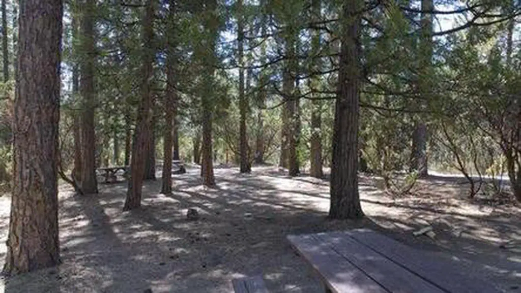 Crane ValleyCampingPhoto: Recreation.gov (RIDB) / public domain0.8 mi
Source: Roamze catalog (indexable pages within 10 miles, PostGIS distance)
 Cowboys TrailHiking · ~2 min drivePhoto: Giuseppe Milo, CC BY 3.0 (via Wikimedia Commons)
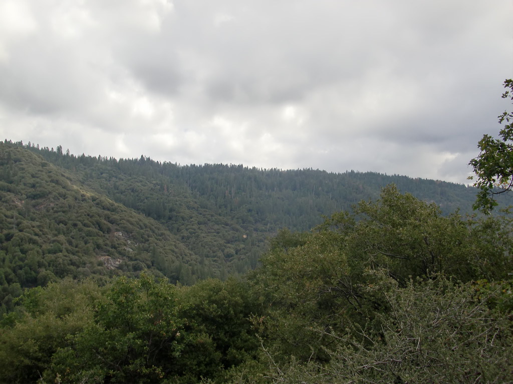 Deadman TrailHiking · ~11 min drivePhoto: Bluedevil266, CC BY 2.0 (via Flickr)
 Rancho TrailHiking · ~10 min drivePhoto: niiicedave, CC BY-SA 2.0 (via Flickr)Downslope TrailHiking · ~11 min drivePhoto: Bluedevil266, CC BY 2.0 (via Flickr)Martin TrailHiking · ~11 min drivePhoto: Bluedevil266, CC BY 2.0 (via Flickr)
 Pack StaHiking · ~13 min drivePhoto: stevelyon, CC BY-SA 2.0 (via Flickr)
 Browns Meadow TrailHiking · ~12 min drivePhoto: stevelyon, CC BY-SA 2.0 (via Flickr)
 Brown CreekHiking · ~9 min drivePhoto: JHetherington20, CC BY-SA 3.0 (via Wikimedia Commons)
 Sky TrailHiking · ~12 min drivePhoto: niiicedave, CC BY-SA 2.0 (via Flickr)

