Table Mountain
- 2,468 ft
- summit
- 1
- way up
- Feb–Jun, Oct–Nov
- best months
Is Table Mountain open right now?
Closure in the area
There's a closure order in Lassen National Forest. It doesn't name Table Mountain, so check the source for the area it covers (3 listed).
Harmful Algal Blooms
Agency closure covering Lassen National Forest · USFS · Lassen National Forest
Forest Road Closure Order
Agency closure covering Lassen National Forest · Order 06-26-01 · USFS · Lassen National Forest
SAFETY ALERT - South Antelope Bridge out, Do Not Cross
Agency closure covering Lassen National Forest · USFS · Lassen National Forest
As of · Source: USFS · Lassen National Forest. Agencies don't list every closure — check before you go.
Table Mountain is a summit of 2,468 feet in California's Ishi Wilderness, within the Almanor Ranger District of Lassen National Forest. The nearest town is Paynes Creek, about 13 miles away. Late spring and early fall are the most comfortable times to visit. Typical averages from a nearby weather station at De Sabla show May highs around 74°F and October highs around 74°F, with July and August peaking near 91°F. Several trails start close by. Kingsley Cove Ishi is about a mile away and Table Mountain Ishi about 1.4 miles. Payne Spring Cabin is roughly 2.4 miles off, and Black Rock campground lies about 6 miles away.
Conditions and forecast
Daily highs and lows, wind and the chance of precipitation at the summit and route start for the next 7 days, from the Open-Meteo model.
- Summit elevation
- 2,468 ft
Elevation from USGS 3D Elevation Program terrain data (about 10 m resolution).
Map © Mapbox © OpenStreetMap contributors Questions about Table Mountain
How tall is Table Mountain?
2,468 ft (752 m).
How many routes go to the summit of Table Mountain?
One: Table Mountain Ishi.
When is the best time to climb Table Mountain?
April 1 – November 15.
- Turner Mountain6,896 ft · California1 route14 mi away
- Butt Mountain7,868 ft · California1 route23 mi away
 Brokeoff Mountain9,236 ft · California1 route24 mi awayPhoto: LassenNPS, Public domain (via Wikimedia Commons)
 Lassen Peak10,450 ft · California1 route28 mi awayPhoto: Frank Schulenburg, CC BY-SA 4.0 (via Wikimedia Commons)
 Mount Harkness8,051 ft · California1 route33 mi awayPhoto: LassenNPS, Public domain (via Wikimedia Commons)
- Inspiration Point7,202 ft · California1 route35 mi away
- Kingsley Cove IshiHiking1.1 mi
- Table Mountain IshiHiking1.4 mi
- Payne Spring CabinHiking2.4 mi
- INDIAN RIDGEHiking3 mi
- The MillRock climbing5.5 mi
- Black RockCamping6 mi
- South Fork Antelope CreekCanoeing6.1 mi
 Deer CreekCanoeingPhoto: Kmmontandon at English Wikipedia, Public domain (via Wikimedia Commons)6.2 mi
Source: Roamze catalog (indexable pages within 10 miles, PostGIS distance)
- Brokeoff MountainSummit · ~41 min drivePhoto: LassenNPS, Public domain (via Wikimedia Commons)
 Pilot PinnacleSummit · ~44 min drivePhoto: LassenNPS, Public domain (via Wikimedia Commons)
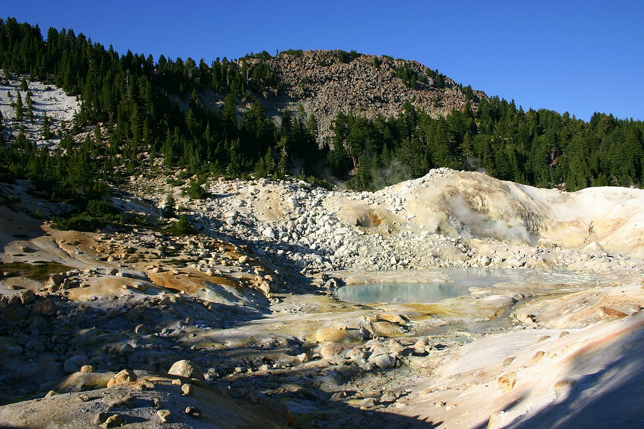 Bumpass MountainSummit · ~46 min drivePhoto: Genista Kai Schreiber, CC BY-SA 2.0 (via Wikimedia Commons)
- Lassen PeakSummit · ~48 min drivePhoto: Frank Schulenburg, CC BY-SA 4.0 (via Wikimedia Commons)
 Chaos CragsSummit · ~50 min drivePhoto: CC BY 2.5 (via Wikimedia Commons)
- Mount HarknessSummit · ~57 min drivePhoto: LassenNPS, Public domain (via Wikimedia Commons)
 Badger MountainSummit · ~59 min drivePhoto: Clyde Charles Brown, CC BY-SA 4.0 (via Wikimedia Commons)
 Cinder ConeSummit · ~1h 4m drivePhoto: DimiTalen, CC BY-SA 3.0 (via Wikimedia Commons)
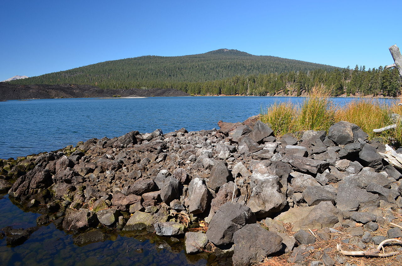 Prospect PeakSummit · ~1h 5m drivePhoto: LassenNPS, Public domain (via Wikimedia Commons)
 Bald Rock DomeSummit · ~1h 16m drivePhoto: Derek Wolfgram from San Jose, CA, CC BY 2.0 (via Wikimedia Commons)
Also worth it near here
- Black Oak GroveCamping · ~3 min drive
- The MillRock climbing · ~9 min drive
 MILL CREEKHiking · ~10 min drivePhoto: g.bertschinger, CC BY-SA 2.0 (via Flickr)
- Deer CreekCanoeing · ~11 min drivePhoto: Kmmontandon at English Wikipedia, Public domain (via Wikimedia Commons)
- Deadhorse FallsWaterfall · ~19 min drive
Best time to visit Table Mountain
Best months: February–June and October–November. Best months have typical highs of 55–85 °F, lows of 30 °F or warmer (32 °F where the station doesn't record snow), at most one snowy day and no more than 12 wet days.
Jan
53° / 35°
13 wet
Feb
55° / 35°
12 wet
Mar
60° / 37°
12 wet
Apr
66° / 40°
9 wet
May
74° / 47°
7 wet
Jun
84° / 53°
3 wet
Jul
91° / 58°
1 wet
Aug
91° / 57°
1 wet
Sep
86° / 53°
2 wet
Oct
74° / 46°
6 wet
Nov
59° / 38°
10 wet
Dec
51° / 34°
13 wet
Typical high / low (°F) and days with rain or snow, 1991–2020. Measured at De Sabla, CA, 23.2 mi away at 2,710 ft. Source: NOAA NCEI U.S. Climate Normals 1991–2020.
