Spikes Peak
- 1,935 ft
- summit
- 4
- ways up
- Oct–May
- best months
Spikes Peak is a summit of 1,935 feet in California's Santa Clara Unit, about 12 miles from the town of Santa Nella. Spring and fall are the most comfortable times to visit. Typical averages from a nearby weather station show April highs around 73°F and October highs near 79°F, while July and August average in the mid-90s. That station sits well below the peak, so temperatures up top run cooler. Several trails start close by. Diamond Lake Trail and Mountain View Trail are each about 0.1 mile away, and Shadow Spring Ridge Trail is about 0.3 mile off. For time on the water, Pacheco Creek offers canoeing about 9 miles away.
Conditions and forecast
Daily highs and lows, wind and the chance of precipitation at the summit and route start for the next 7 days, from the Open-Meteo model.
- Summit elevation
- 1,935 ft
Elevation from USGS 3D Elevation Program terrain data (about 10 m resolution).
- Diamond Lake TrailEasyabout 514 ft of climbing1.5 mi round trip
- Mountain View TrailEasyabout 365 ft of climbing1.0 mi round trip
- Spikes Peak TrailModerateabout 1,584 ft of climbing6.6 mi round trip
- South Boundary Loop TrailModerateabout 1,170 ft of climbing3.9 mi
Compare the routes Diamond Lake Trail Mountain View Trail Spikes Peak Trail South Boundary Loop Trail Climbing About 514 ft About 365 ft About 1,584 ft About 1,170 ft Round trip 1.5 mi 1.0 mi 6.6 mi 3.9 mi Difficulty Easy Easy Moderate Moderate Terrain Hike Hike Hike Hike Map © Mapbox © OpenStreetMap contributors Questions about Spikes Peak
How tall is Spikes Peak?
1,935 ft (590 m).
How many routes go to the summit of Spikes Peak?
4: Diamond Lake Trail, Mountain View Trail, Spikes Peak Trail and South Boundary Loop Trail.
What is the shortest route up Spikes Peak?
Mountain View Trail, about 1.0 mi round trip.
- Burra Burra Peak2,282 ft · California1 route9.6 mi away
- Bills Hill1,997 ft · California1 route12 mi away
- Willson Peak2,652 ft · California2 routes13 mi away
 Mount Stakes3,807 ft · California1 route22 mi awayPhoto: Thomson200, CC0 (via Wikimedia Commons)
 Mount Madonna1,899 ft · California1 route27 mi awayPhoto: Wahn, CC BY-SA 4.0 (via Wikimedia Commons)
- Pyramid Rock4,026 ft · California1 route28 mi away
- Diamond Lake TrailHiking0.1 mi
- Mountain View TrailHiking0.1 mi
- Shadow Spring Ridge TrailHiking0.3 mi
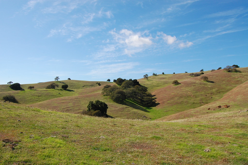 Diamond Spring TrailHikingPhoto: ilya_ktsn, CC BY 2.0 (via Flickr)0.5 mi
- South Boundary Loop TrailHiking0.7 mi
- Nun Lake TrailHiking0.7 mi
 Spikes Peak TrailHikingPhoto: ilya_ktsn, CC BY 2.0 (via Flickr)0.7 mi
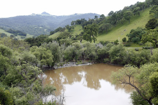 Pacheco CreekCanoeingPhoto: Gary Reyes, CC BY-SA 4.0 (via Wikimedia Commons)9 mi
Source: Roamze catalog (indexable pages within 10 miles, PostGIS distance)
 Mount SizerSummit · ~35 min drivePhoto: Gregariousworldswine at English Wikipedia, Public domain (via Wikimedia Commons)
- Mount StakesSummit · ~38 min drivePhoto: Thomson200, CC0 (via Wikimedia Commons)
 Lions PeakSummit · ~39 min drivePhoto: Wahn, CC BY-SA 4.0 (via Wikimedia Commons)
 Fremont PeakSummit · ~42 min drivePhoto: Thomson200, CC0 (via Wikimedia Commons)
 El ToroSummit · ~44 min drivePhoto: Eugene Zelenko, CC BY-SA 4.0 (via Wikimedia Commons)
 Twin PeaksSummit · ~45 min drivePhoto: Wahn, CC BY-SA 4.0 (via Wikimedia Commons)
- Mount MadonnaSummit · ~46 min drivePhoto: Wahn, CC BY-SA 4.0 (via Wikimedia Commons)
 Copernicus PeakSummit · ~54 min drivePhoto: Thomson200, CC0 (via Wikimedia Commons)
 Mount HamiltonSummit · ~54 min drivePhoto: No machine-readable author provided. Elf assumed (based on copyright claims)., CC BY-SA 3.0 (via Wikimedia Commons)
 Tulare HillSummit · ~55 min drivePhoto: Wahn, CC BY-SA 3.0 (via Wikimedia Commons)
Best time to visit Spikes Peak
Best months: October–May. Best months have typical highs of 55–85 °F, lows of 30 °F or warmer (32 °F where the station doesn't record snow), at most one snowy day and no more than 12 wet days.
Jan
56° / 41°
12 wet
Feb
61° / 43°
11 wet
Mar
67° / 47°
8 wet
Apr
73° / 50°
5 wet
May
81° / 56°
2 wet
Jun
89° / 61°
1 wet
Jul
95° / 66°
0 wet
Aug
94° / 65°
0 wet
Sep
90° / 62°
1 wet
Oct
79° / 55°
3 wet
Nov
65° / 46°
6 wet
Dec
56° / 39°
11 wet
Typical high / low (°F) and days with rain or snow, 1991–2020. Measured at Los Banos Det Resv, CA, 16.3 mi away at 407 ft. The station sits about 1,500 ft lower than this place, so expect it a little cooler here. Source: NOAA NCEI U.S. Climate Normals 1991–2020.
