Pacheco Creek
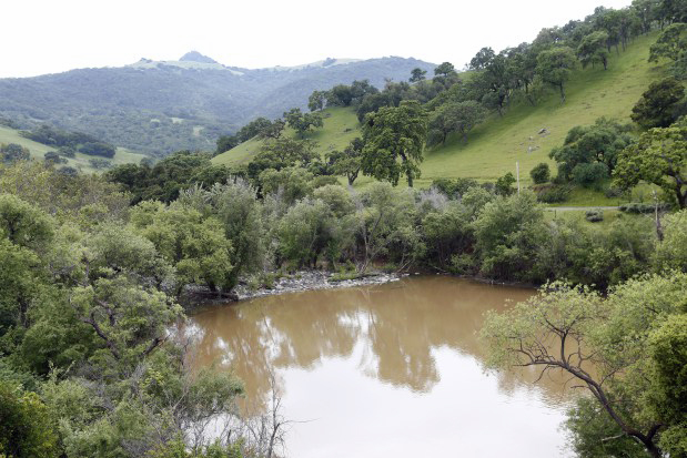 Photo: Gary Reyes, CC BY-SA 4.0 (via Wikimedia Commons)
- 16.7 mi
- distance
- 398 ft
- high point
- Jan–Dec
- best months
Clear at last check
Weather is good · usgs_nwis, OpenWeather · checked 23 h ago
Pacheco Creek is a canoeing route in California, about 17 miles long, near Hollister. The closest town is San Felipe, about 3 miles away. The creek is intermittent and may run dry in some seasons, so water is not a given on any visit. USGS models an average flow of about 41 cfs and a gradient of about 13.9 feet per mile. Over a run of this length, that works out to a steady drop rather than a flat float. Spring tends to be the most comfortable time weather-wise. Typical averages from the nearby Hollister weather station show April highs around 69°F and May highs around 73°F, with rain becoming infrequent by May. Several hikes lie within about 6 miles, including Gibson Trail, Redfern Trail and Bill's Hill Trail. For another paddle, Carnadero Creek is just under 10 miles away.
Local outfitters
- Pacific Ocean Water Sports12 mi away
- Monterey Bay Kayaks26 mi away
Not on Roamze yet. Their page has how to reach them.
 Gibson TrailHikingPhoto: ilya_ktsn, CC BY 2.0 (via Flickr)5.1 mi
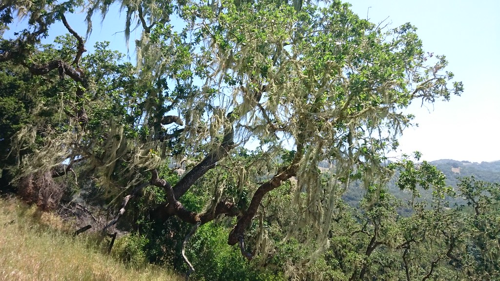 Redfern TrailHikingPhoto: ilya_ktsn, CC BY 2.0 (via Flickr)6.1 mi
- Bill's Hill TrailHikingPhoto: ilya_ktsn, CC BY 2.0 (via Flickr)6.2 mi
 Long Dam TrailHikingPhoto: ilya_ktsn, CC BY 2.0 (via Flickr)6.3 mi
- Phegley Ridge TrailHikingPhoto: ilya_ktsn, CC BY 2.0 (via Flickr)6.5 mi
 Lyman Willson Ridge TrailHikingPhoto: ilya_ktsn, CC BY 2.0 (via Flickr)7.4 mi
- East Connector TrailHiking7.5 mi
- Carnadero CreekCanoeing9.9 mi
Source: Roamze catalog (indexable pages within 10 miles, PostGIS distance)
 Uvas CreekCanoeing · ~28 min drivePhoto: Uvaseastman, CC BY-SA 4.0 (via Wikimedia Commons)
- Del Valle Boat RampBoat launch · ~1h 18m drive
 Coyote CreekCanoeing · ~43 min drivePhoto: Dicklyon, CC BY-SA 4.0 (via Wikimedia Commons)
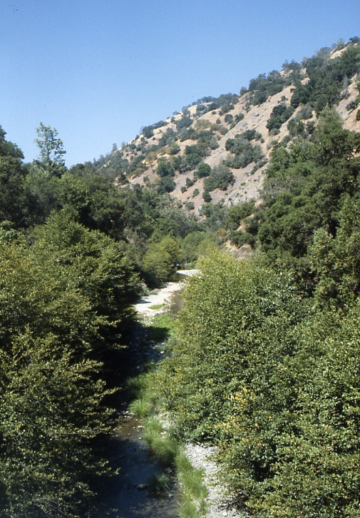 Arroyo HondoCanoeing · ~1h 2m drivePhoto: Robert A. Leidy PhD, US EPA, Public domain (via Wikimedia Commons)
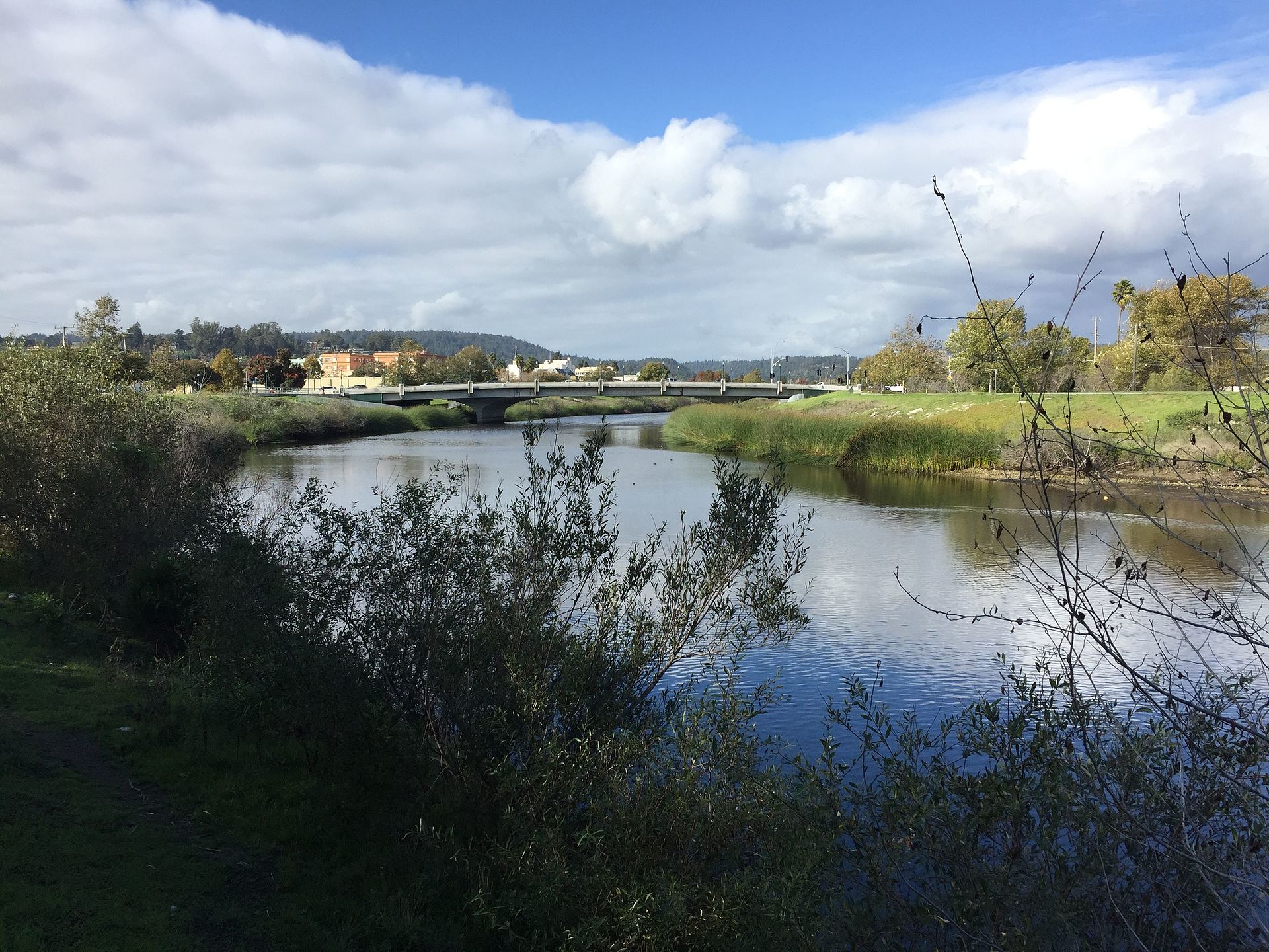 San Lorenzo RiverCanoeing · ~1h 10m drivePhoto: Chevy111, CC BY-SA 4.0 (via Wikimedia Commons)
 Arroyo ValleCanoeing · ~1h 12m drivePhoto: Michael C. Berch, CC BY-SA 3.0 (via Wikimedia Commons)
 Carmel RiverCanoeing · ~1h 13m drivePhoto: David.c.stone, CC BY 3.0 (via Wikimedia Commons)
 Alameda CreekCanoeing · ~1h 18m drivePhoto: Pi.1415926535, CC BY-SA 4.0 (via Wikimedia Commons)
- Carnadero CreekCanoeing · ~17 min drive
- Pajaro RiverCanoeing · ~38 min drive
Best time to visit Pacheco Creek
Best months: Year-round. Best months have typical highs of 55–85 °F, lows of 30 °F or warmer (32 °F where the station doesn't record snow), at most one snowy day and no more than 12 wet days.
Jan
60° / 39°
8 wet
Feb
62° / 41°
9 wet
Mar
66° / 43°
7 wet
Apr
69° / 45°
5 wet
May
73° / 48°
2 wet
Jun
78° / 51°
1 wet
Jul
80° / 54°
0 wet
Aug
81° / 54°
0 wet
Sep
81° / 53°
1 wet
Oct
77° / 48°
3 wet
Nov
67° / 42°
5 wet
Dec
59° / 38°
7 wet
Typical high / low (°F) and days with rain or snow, 1991–2020. Measured at Hollister 2, CA, 10 mi away at 275 ft. Source: NOAA NCEI U.S. Climate Normals 1991–2020.
