Robinson Creek
- 18.1 mi
- distance
- 8,549 ft
- high point
- Jun–Aug
- best months
Caution today
Agency alerts are in effect for this area; weather is good · USFS, usgs_nwis, OpenWeather · checked 10 h ago
Is Robinson Creek open right now?
Closure in the area
There's a closure order in Humboldt-Toiyabe National Forest. It doesn't name Robinson Creek, so check the source for the area it covers.
Elephant Fire Closure
Agency closure covering Humboldt-Toiyabe National Forest · Order 04-17-26-01-04 · USFS · Humboldt-Toiyabe National Forest
Area, Road, and Trail Closures (Spring Mountains National Recreation Area)
Agency alert covering Humboldt-Toiyabe National Forest · Order 04-17-25-04 · USFS · Humboldt-Toiyabe National Forest
Year-Round Fire Restrictions (Spring Mountains National Recreation Area)
Agency alert covering Humboldt-Toiyabe National Forest · Order 04-17-24-01 · USFS · Humboldt-Toiyabe National Forest
Vehicle Snow Chain Requirements during Inclement Weather (Spring Mountains National Recreation Area)
Agency alert covering Humboldt-Toiyabe National Forest · Order 04-17-23-01 · USFS · Humboldt-Toiyabe National Forest
Rainbow Canyon Flood Diversion Structure Closure (Spring Mountains National Recreation Area)
Agency alert covering Humboldt-Toiyabe National Forest · Order 04-17-15-01 · USFS · Humboldt-Toiyabe National Forest
As of · Source: USFS · Humboldt-Toiyabe National Forest. Agencies don't list every closure — check before you go.
Robinson Creek is a 18-mile paddling stretch near Bridgeport, California. It is intermittent and may run dry in some seasons. USGS models an average flow of about 186 cfs and a gradient of about 115.1 feet per mile.
- Honeymoon CampgroundCamping0.6 mi
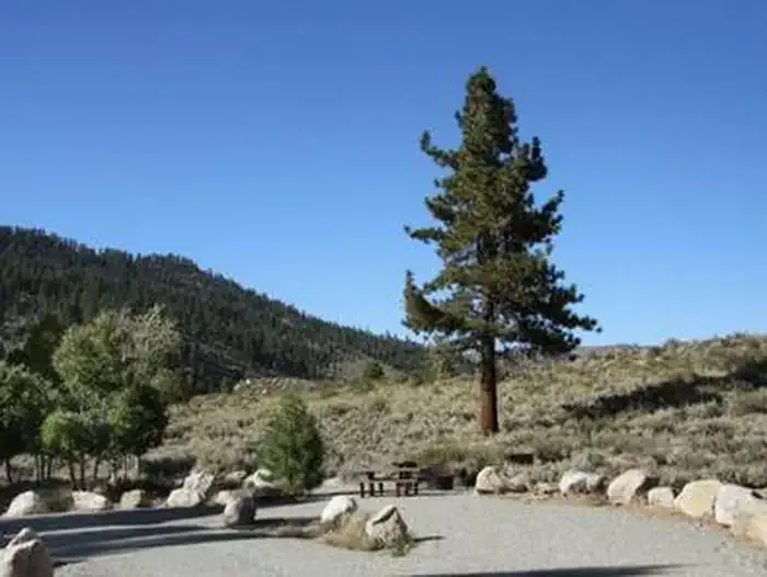 Honeymoon FlatCampingPhoto: Recreation.gov (RIDB) / public domain0.6 mi
- Eagle CreekHiking1.6 mi
 Sawmill Ridge RouteHikingPhoto: Seth Tisue, CC BY-SA 2.0 (via Flickr)2.1 mi
- Buckeye CreekCanoeing2.3 mi
 Incredible HulkRock climbingPhoto: Tom Hilton, CC BY 2.0 (via Flickr)7.3 mi
- The Sawtooth RidgeRock climbing7.6 mi
- East Walker RiverRiver fishing7.7 mi
Source: Roamze catalog (indexable pages within 10 miles, PostGIS distance)
 East Walker RiverCanoeing · ~22 min drivePhoto: Ixfd64, CC BY-SA 4.0 (via Wikimedia Commons)
- Lower Twin Lake Boat RampBoat launch · ~4 min drive
 Rush CreekCanoeing · ~47 min drivePhoto: Greg Reis, CC BY-SA 3.0 (via Wikimedia Commons)
- Navy Beach Boating SiteBoat launch · ~43 min drive
 Merced RiverCanoeing · ~1h 1m drivePhoto: Kylir Horton from Eagle Mountain, Utah, United States, CC BY 2.0 (via Wikimedia Commons)
- Silver Lake Boat LaunchBoat launch · ~54 min drive
 South Fork Tuolumne RiverCanoeing · ~1h 10m drivePhoto: Eeekster, CC BY 3.0 (via Wikimedia Commons)
- Gull Lake Carry-on Boat LaunchBoat launch · ~56 min drive
 East Fork Carson RiverCanoeing · ~48 min drivePhoto: Matkatamiba, CC BY-SA 4.0 (via Wikimedia Commons)
- Cherry Lake Boating SiteBoat launch · ~1h 1m drive
Best time to visit Robinson Creek
Best months: June–August. Best months have typical highs of 55–85 °F, lows of 30 °F or warmer (32 °F where the station doesn't record snow), at most one snowy day and no more than 12 wet days.
Jan
41° / 8°
7 wet
Feb
41° / 9°
7 wet
Mar
45° / 13°
6 wet
Apr
51° / 19°
5 wet
May
61° / 25°
5 wet
Jun
71° / 32°
4 wet
Jul
78° / 36°
4 wet
Aug
78° / 34°
3 wet
Sep
71° / 28°
2 wet
Oct
61° / 20°
3 wet
Nov
49° / 12°
5 wet
Dec
41° / 8°
7 wet
Typical high / low (°F) and days with rain or snow, 1991–2020. Measured at Bodie California St Historic P, CA, 17.2 mi away at 8,370 ft. This station doesn't record snowfall. Source: NOAA NCEI U.S. Climate Normals 1991–2020.


