Baker Point
- 7,750 ft
- summit
- 1
- way up
Is Baker Point open right now?
Closure in the area
There's a closure order in Sequoia National Forest. It doesn't name Baker Point, so check the source for the area it covers (2 listed).
Tule River Glass Container Prohibition Area
Agency closure covering Sequoia National Forest · Order 0513-26-02 · USFS · Sequoia National Forest
Trail of 100 Giants Boardwalk and Area Closure
Agency closure covering Sequoia National Forest · Order 0513-26-03 · USFS · Sequoia National Forest
PUBLIC NUDITY PROHIBITION - Sequoia National Forest
Agency alert covering Sequoia National Forest · Order 0513-26-06 · USFS · Sequoia National Forest
Chico Flat Dispersed Camping Area Prohibition 26-27
Agency alert covering Sequoia National Forest · Order 0513-26-09 · USFS · Sequoia National Forest
Wildlife Alert - BEARS
Agency alert covering Sequoia National Forest · USFS · Sequoia National Forest
As of · Source: USFS · Sequoia National Forest. Agencies don't list every closure — check before you go.
Baker Point is a summit in the Kern River Ranger District of Sequoia National Forest in California. The nearest town is Sugarloaf Saw Mill, about 6.5 miles away. The Kern River Ranger District also has a glass container prohibition in place. Three campgrounds sit about 3 miles away: Quaking Aspen, Corral Creek and Goldledge Campground. Middle Cliff, a climbing area roughly 3.3 miles off, rounds out the nearby options.
Conditions and forecast
Daily highs and lows, wind and the chance of precipitation at the summit and route start for the next 7 days, from the Open-Meteo model.
- Summit elevation
- 7,750 ft
Elevation from USGS 3D Elevation Program terrain data (about 10 m resolution).
Map © Mapbox © OpenStreetMap contributors Questions about Baker Point
How tall is Baker Point?
7,750 ft (2,362 m).
How many routes go to the summit of Baker Point?
One: Baker Point.
When is the best time to climb Baker Point?
Year-round.
- Sunday Peak8,300 ft · California1 route6.7 mi away
- Mule Peak8,147 ft · California1 route13 mi away
- Bald Mountain9,383 ft · California1 route18 mi away
- Jordan Peak9,115 ft · California1 route23 mi away
- Liebel Peak8,028 ft · California2 routes25 mi away
- Inspiration Point7,830 ft · California1 route25 mi away
- Quaking AspenCamping3 mi
- Corral CreekCamping3 mi
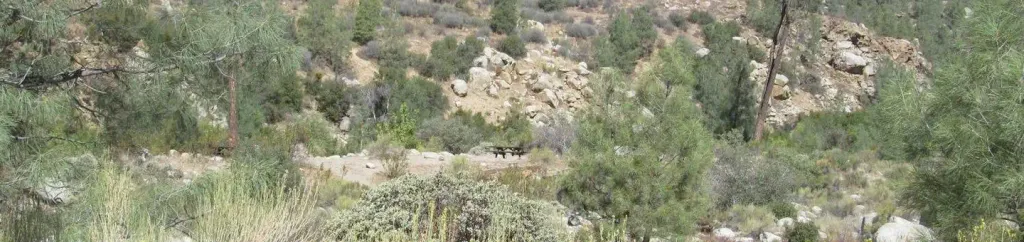 Goldledge CampgroundCampingPhoto: Recreation.gov (RIDB) / public domain3 mi
- Middle CliffRock climbing3.3 mi
- New DirectionsRock climbing3.3 mi
 RinconHikingPhoto: anon4809, Public Domain Dedication (CC0) (via Flickr)3.8 mi
- SugarloafHiking4.1 mi
- Kern River Ranger DistrictRiver fishing7.9 mi
Source: Roamze catalog (indexable pages within 10 miles, PostGIS distance)
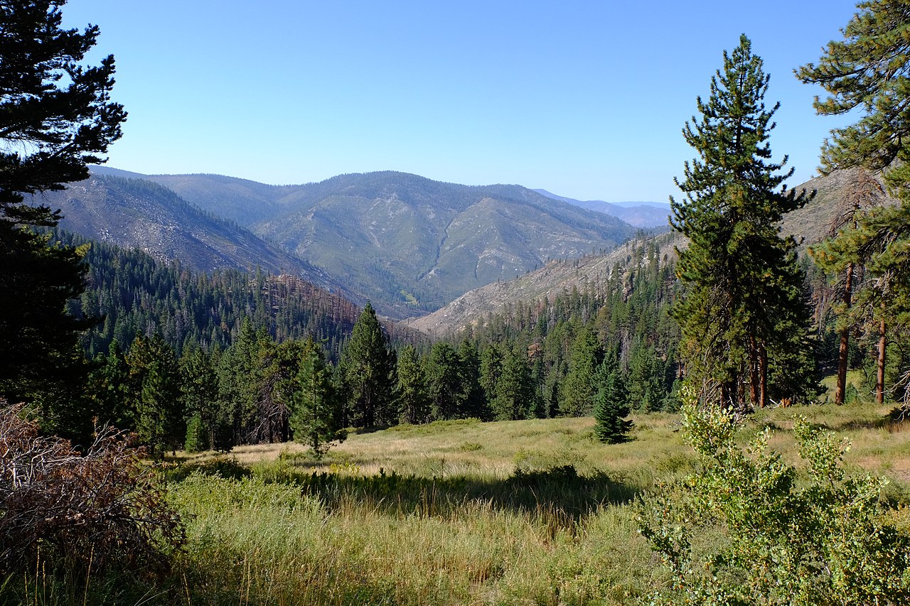 Kern PeakSummit · ~58 min drivePhoto: David Bakken, CC BY-SA 2.0 (via Wikimedia Commons)
 Olancha PeakSummit · ~1h 1m drivePhoto: Justin, CC BY 2.0 (via Wikimedia Commons)
 Mount FlorenceSummit · ~1h 6m drivePhoto: MiguelVieira, CC BY 2.0 (via Wikimedia Commons)
 Needham MountainSummit · ~1h 11m drivePhoto: Mitch Barrie, CC BY-SA 2.0 (via Wikimedia Commons)
 Sawtooth PeakSummit · ~1h 11m drivePhoto: Erinhayden at English Wikipedia, Public domain (via Wikimedia Commons)
 Bear MountainSummit · ~1h 18m drivePhoto: DJockinsen, CC BY-SA 4.0 (via Wikimedia Commons)
 Mount KaweahSummit · ~1h 20m drivePhoto: W.L. Huber, Public domain (via Wikimedia Commons)
 Red KaweahSummit · ~1h 21m drivePhoto: Jeffrey Pang from Berkeley, CA, USA, CC BY 2.0 (via Wikimedia Commons)
- Black KaweahSummit · ~1h 22m drivePhoto: Jeffrey Pang from Berkeley, CA, USA, CC BY 2.0 (via Wikimedia Commons)
 Eagle Scout PeakSummit · ~1h 22m drivePhoto: Mitch Barrie, CC BY-SA 2.0 (via Wikimedia Commons)

