Enroute Camping
Campground
Campground · 0.4 mi from the trail
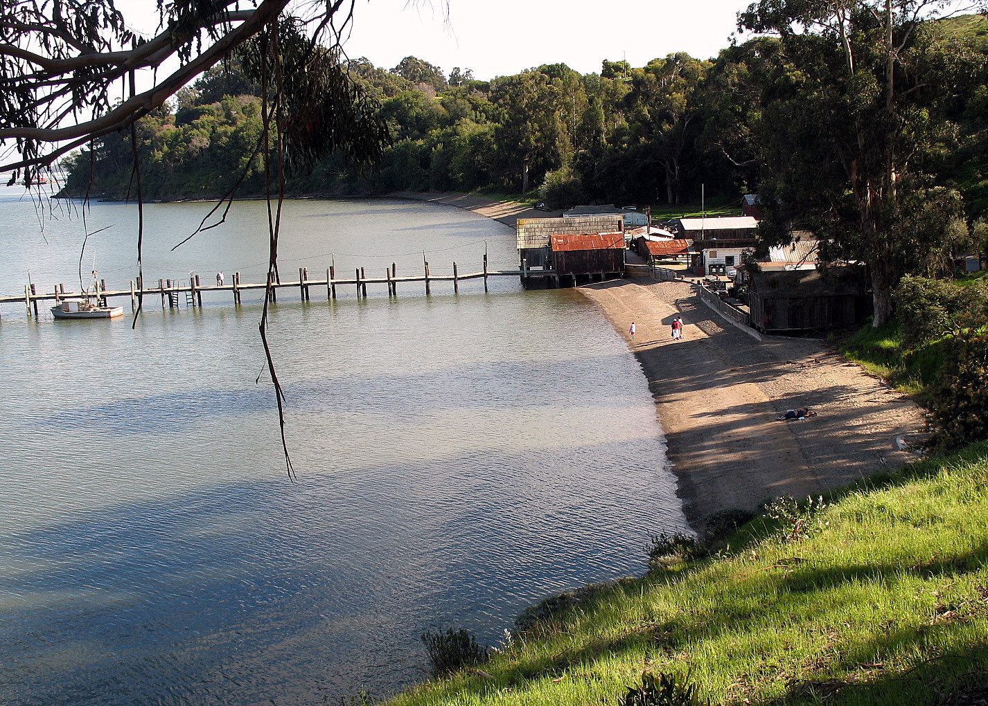
 Photo: Cheryl Reynolds courtesy of Worth a Dam, CC BY-SA 3.0 (via Wikimedia Commons)
Benicia State Recreation Area is a California state park managed by State Park and Recreation, about 2 miles from the town of Port Costa. It serves as a base for a cluster of short trails, several of which start within half a mile of one another. Spring and fall are the most comfortable times to visit. Typical averages from a nearby weather station in Vallejo show April highs around 73°F and October highs around 79°F, while July and August average in the mid-80s. The closest trails are the Mike Taugher Trail and the Nature Trail, both about half a mile away. The Bull Valley Trail and the Rollye Wilkerson Trail are each within about 1.7 miles.
Enroute Camping
Campground
Art collection and museum in Napa, California
Places © OpenStreetMap contributors
More in TemelecPark size
456 acres
Campgrounds
 Edwards Creek TrailHikingPhoto: vonguard, CC BY-SA 2.0 (via Flickr)2.5 mi
Source: Roamze catalog (indexable pages within 10 miles, PostGIS distance)
 Benicia Capitol State Historic ParkState park · ~4 min drivePhoto: Epolk, Public domain (via Wikimedia Commons)
 China Camp State ParkState park · ~28 min drivePhoto: Sanfranman59, CC BY-SA 3.0 (via Wikimedia Commons)
 Angel Island State ParkState park · ~34 min drivePhoto: Smgross at English Wikipedia, Public domain (via Wikimedia Commons)
 Mount Diablo State ParkState park · ~35 min drivePhoto: Clyde Charles Brown, CC BY-SA 4.0 (via Wikimedia Commons)
 Olompali State Historic ParkState park · ~37 min drivePhoto: Aquarianbydesign, CC BY-SA 3.0 (via Wikimedia Commons)
 Mount Tamalpais State ParkState park · ~42 min drivePhoto: United States National Park Service, Public domain (via Wikimedia Commons)
 Candlestick Point State Recreation AreaState park · ~46 min drivePhoto: Eric Fredericks, CC BY-SA 2.0 (via Wikimedia Commons)
 Jack London State Historic ParkState park · ~47 min drivePhoto: Robert E. Nylund, Public domain (via Wikimedia Commons)
 Samuel P. Taylor State ParkState park · ~51 min drivePhoto: User:Miguel.v, Public domain (via Wikimedia Commons)
 Franks Tract State Recreation AreaState park · ~55 min drivePhoto: Oleg Alexandrov, CC BY-SA 3.0 (via Wikimedia Commons)
Best months: October–July. Best months have typical highs of 55–85 °F, lows of 30 °F or warmer (32 °F where the station doesn't record snow), at most one snowy day and no more than 12 wet days.
Jan
57° / 42°
Feb
63° / 45°
Mar
68° / 46°
Apr
73° / 47°
May
78° / 51°
Jun
83° / 54°
Jul
85° / 56°
Aug
86° / 56°
Sep
86° / 56°
Oct
79° / 54°
Nov
66° / 47°
Dec
58° / 42°
Typical high / low (°F) and days with rain or snow, 1991–2020. Measured at Vallejo, CA, 1.9 mi away at 341 ft. We don't have this place's elevation, so higher spots nearby can run cooler. This station doesn't record snowfall. Source: NOAA NCEI U.S. Climate Normals 1991–2020.

