Angel Island State Park
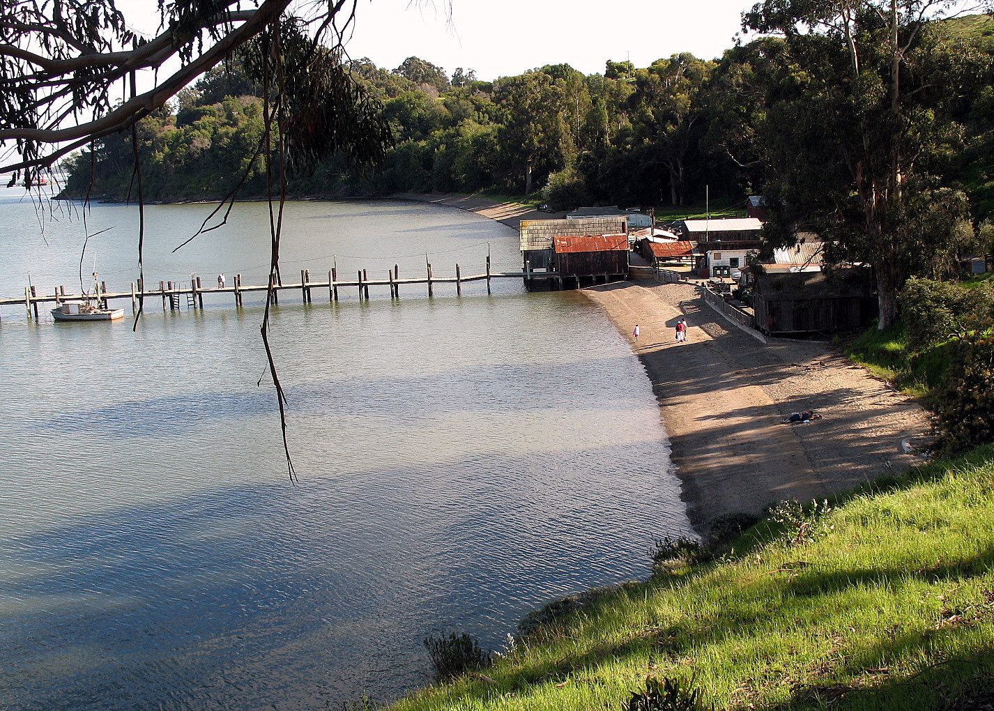
 Photo: Smgross at English Wikipedia, Public domain (via Wikimedia Commons)
- State Park and Recreation
- managed by
- Jan–Dec
- best months
Is Angel Island State Park open right now?
Alert in the area
The National Park Service lists 2 alerts for Golden Gate National Recreation Area.
Beach Hazards and High Surf November 17-19
Park alert covering Golden Gate National Recreation Area · NPS · Golden Gate National Recreation Area
Auto-Theft Warning - Only Bring What You Need to the Park
Park alert covering Golden Gate National Recreation Area · NPS · Golden Gate National Recreation Area
As of · Source: NPS · Golden Gate National Recreation Area. Agencies don't list every closure — check before you go.
Angel Island State Park is a California state park within the Golden Gate National Recreation Area, about 2.3 miles from the town of Belvedere. The land is managed by State Park and Recreation. The weather here stays mild year-round, with no snow days recorded in any month. Typical averages from a nearby weather station in Richmond show highs around 75°F in September and 58°F in December, with lows in the mid-40s. The closest neighbor is the Spanish Trail, a mountain biking route about 1.4 miles away. Aquatic Park Cove, Black Point, offers overnight anchoring for sailing vessels about 3.7 miles off. Climbers can head to Beaver Street Wall, about 6.6 miles away, and the Fulton Trail hike is about 6.7 miles away.
Park size
754 acres
Inside this park
- Spanish TrailMountain biking1.4 mi
- Aquatic Park Cove, Black Point Overnight Anchoring, Sailing Vessels only (auxiliary engine OK)Pier fishing3.7 mi
- Miwok TrailMountain biking5.6 mi
- Beaver Street WallRock climbing6.6 mi
 Fulton TrailHikingPhoto: lamblukas, CC BY 2.0 (via Flickr)6.7 mi
- Dias Ridge TrailMountain biking7 mi
- DihedralsRock climbing7.1 mi
- Cliff House BouldersRock climbing7.3 mi
Source: Roamze catalog (indexable pages within 10 miles, PostGIS distance)
 Mount Tamalpais State ParkState park · ~17 min drivePhoto: United States National Park Service, Public domain (via Wikimedia Commons)
 China Camp State ParkState park · ~17 min drivePhoto: Sanfranman59, CC BY-SA 3.0 (via Wikimedia Commons)
 Candlestick Point State Recreation AreaState park · ~18 min drivePhoto: Eric Fredericks, CC BY-SA 2.0 (via Wikimedia Commons)
 Benicia State Recreation AreaState park · ~34 min drivePhoto: Cheryl Reynolds courtesy of Worth a Dam, CC BY-SA 3.0 (via Wikimedia Commons)
 Samuel P. Taylor State ParkState park · ~34 min drivePhoto: User:Miguel.v, Public domain (via Wikimedia Commons)
 Benicia Capitol State Historic ParkState park · ~34 min drivePhoto: Epolk, Public domain (via Wikimedia Commons)
 Gray Whale Cove State BeachState park · ~36 min drivePhoto: McGhiever, CC BY-SA 3.0 (via Wikimedia Commons)
 Montara State BeachState park · ~36 min drivePhoto: AWBridges, CC BY-SA 3.0 (via Wikimedia Commons)
 Olompali State Historic ParkState park · ~37 min drivePhoto: Aquarianbydesign, CC BY-SA 3.0 (via Wikimedia Commons)
 Half Moon Bay State BeachState park · ~45 min drivePhoto: No machine-readable author provided. Seano1~commonswiki assumed (based on copyright claims)., CC BY 2.5 (via Wikimedia Commons)
Also worth it near here
Best time to visit Angel Island State Park
Best months: Year-round. Best months have typical highs of 55–85 °F, lows of 30 °F or warmer (32 °F where the station doesn't record snow), at most one snowy day and no more than 12 wet days.
Jan
58° / 44°
Feb
61° / 46°
Mar
64° / 47°
Apr
67° / 49°
May
69° / 52°
Jun
72° / 54°
Jul
71° / 55°
Aug
72° / 56°
Sep
75° / 56°
Oct
73° / 54°
Nov
65° / 49°
Dec
58° / 44°
Typical high / low (°F) and days with rain or snow, 1991–2020. Measured at Richmond, CA, 5 mi away at 20 ft. We don't have this place's elevation, so higher spots nearby can run cooler. Source: NOAA NCEI U.S. Climate Normals 1991–2020.
