Highway 50 Corridor
Highway 50 Corridor in California has 3 climbing routes on alpine no fixed and bouldering pads.
- 3 routes
- V4 – V4+
- Bouldering · Alpine
Is Highway 50 Corridor open right now?
Alert in the area
The Forest Service lists 3 alerts for Eldorado National Forest.
Fire Restrictions are in Effect Forest Wide
Agency alert covering Eldorado National Forest · Order 03-26-08 · USFS · Eldorado National Forest
Help Halt Golden Mussel Invasion
Agency alert covering Eldorado National Forest · USFS · Eldorado National Forest
Deer Valley Trail (19E01) & Meadow Lake Road (09N01)
Agency alert covering Eldorado National Forest · Order 03-24-05 · USFS · Eldorado National Forest
As of · Source: USFS · Eldorado National Forest. Agencies don't list every closure — check before you go.
Best time to visit Highway 50 Corridor
Best months: May–October. Best months have typical highs of 55–85 °F, lows of 30 °F or warmer (32 °F where the station doesn't record snow), at most one snowy day and no more than 12 wet days.
Jan
36° / 23°
9 wet
Feb
37° / 23°
8 wet
Mar
42° / 26°
7 wet
Apr
48° / 29°
5 wet
May
56° / 35°
4 wet
Jun
66° / 42°
2 wet
Jul
75° / 49°
2 wet
Aug
74° / 49°
1 wet
Sep
67° / 44°
2 wet
Oct
55° / 36°
3 wet
Nov
43° / 28°
5 wet
Dec
35° / 23°
7 wet
Typical high / low (°F) and days with rain or snow, 1991–2020. Measured at Dagget Pass, NV, 20.1 mi away at 7,334 ft. This station doesn't record snowfall. Source: NOAA NCEI U.S. Climate Normals 1991–2020.
Closures we've recorded since August 2026
Fire Restrictions are in Effect Forest Wide
Eldorado National Forest · Order dated September 22, 2026; seen Aug 23, 2026, no lift recorded · Forest Service
The Highway 50 Corridor is a climbing area in the Pacific Ranger District of Eldorado National Forest, in California, managed by the Forest Service. It sits along Highway 50, and the surrounding land is part of the national forest's Pacific Ranger District. Summer is the most comfortable time to visit. Typical averages from the Dagget Pass weather station, about 20 miles away, show July highs near 75°F with lows around 49°F, and only a day or two of wet weather a month from June through September. Winters are cold, with highs in the mid-30s and lows near 23°F. The closest neighbor is the Lyons Creek Trail, about half a mile away. Wrights Lake Equestrian Campground and Wrights Lake campground are both under 2 miles off. Wright's Lake Road Boulders, a climbing area, is about 2.6 miles away.
Routes (3)
Desolation Wilderness(1)
Sugar Spires(2)
Keep exploring — more climbs worth the drive
 Photo: Ben Chun, CC BY-SA 2.0 (via Flickr)
Phantom Spires
~5 min drive
Phantom Spires in California has 31 climbing routes across 14 difficulty grades.
Photo: Ben Chun, CC BY-SA 2.0 (via Flickr)Upper Spire
~6 min drive
Upper Spire in California has 22 climbing routes across 14 grades, offering sport and trad options.
Photo: Ben Chun, CC BY-SA 2.0 (via Flickr)Middle Spire
~6 min drive
Middle Spire in California has 22 climbing routes across 11 grades, offering mixed, sport, and trad styles.
 Photo: ilya_ktsn, CC BY 2.0 (via Flickr)
Clyde Lake
~7 min drive
Clyde Lake, California has 7 climbing routes on bouldering pads.
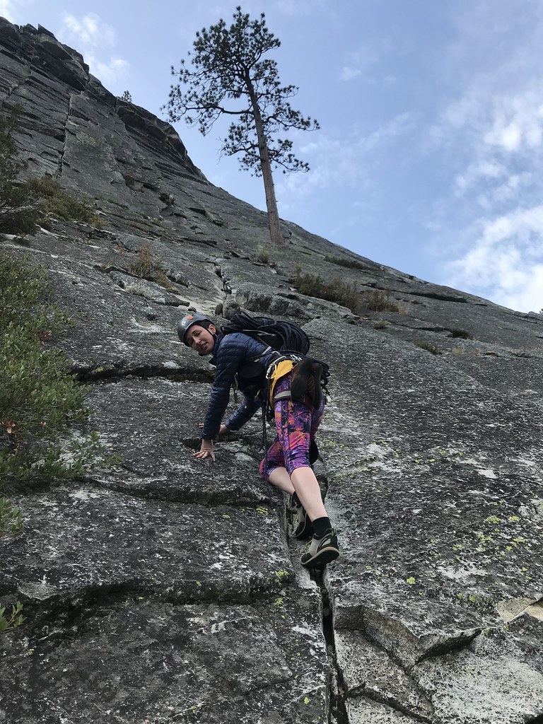 Photo: jfdervin, CC BY-SA 2.0 (via Flickr)
North Face
~7 min drive
North Face in California has 11 traditional climbing routes across 7 grades.
 Photo: jfdervin, CC BY-SA 2.0 (via Flickr)
Campground Boulders
~7 min drive
6 bouldering routes in California spanning 5 difficulty grades.
 Photo: jfdervin, CC BY-SA 2.0 (via Flickr)
Lower Buttress
~7 min drive
Lower Buttress in California has 20 climbing routes across 13 grades, offering sport and trad options.
Photo: jfdervin, CC BY-SA 2.0 (via Flickr)Dear John Buttress
~8 min drive
Dear John Buttress in California has 14 climbing routes with 9 difficulty grades.
Photo: jfdervin, CC BY-SA 2.0 (via Flickr)Lover's Leap
~8 min drive
Lover's Leap in California has 1 trad climbing route.
 Photo: jfdervin, CC BY-SA 2.0 (via Flickr)
Main Wall
~8 min drive
Main Wall in California has 30 climbing routes across 20 difficulty grades.
Also worth it near here


