San Leandro Marina Slip
- Jan–Dec
- best months
San Leandro Marina Slip is a boat launch in California, about 1.5 miles from the town of San Leandro. It is a simple put-in point for getting a boat onto the water close to town. The most comfortable months for a visit are late spring through early fall. Typical averages from a nearby weather station show highs around 68°F in May and 74°F in September, with only a few wet days in summer. Winter runs cooler and wetter, with highs near 58°F and about 10 wet days a month from December through February. The San Francisco Bay Trail passes just 0.4 miles away, and the West Shore Trail is about 4.3 miles off. Columbine Trail and Bass Cove Trail are both within about 5 miles.
- San Francisco Bay TrailHiking0.4 mi
 West Shore TrailHikingPhoto: czarcats, CC BY 2.0 (via Flickr)4.3 mi
 Columbine TrailHikingPhoto: Vards Uzvards, CC BY-SA 2.0 (via Wikimedia Commons)4.9 mi
- Bass Cove TrailHiking5.1 mi
 Indian Cove TrailHikingPhoto: PLeia2, CC BY 2.0 (via Flickr)5.2 mi
 Towhee TrailHikingPhoto: vonguard, CC BY-SA 2.0 (via Flickr)5.2 mi
- Sunset TrailMountain biking7.8 mi
- San Francisco Bay AreaRock climbing9 mi
Source: Roamze catalog (indexable pages within 10 miles, PostGIS distance)
 Arroyo de la LagunaCanoeing · ~29 min drivePhoto: Alameda County Resource Conservation District, CC BY-SA 4.0 (via Wikimedia Commons)
- Kitesurf LaunchBoat launch · ~11 min drive
 Alameda CreekCanoeing · ~38 min drivePhoto: Pi.1415926535, CC BY-SA 4.0 (via Wikimedia Commons)
- Kite Launch 3rd Ave UpperBoat launch · ~17 min drive
 Arroyo ValleCanoeing · ~51 min drivePhoto: Michael C. Berch, CC BY-SA 3.0 (via Wikimedia Commons)
- Kite launch 3rd Ave LowerBoat launch · ~17 min drive
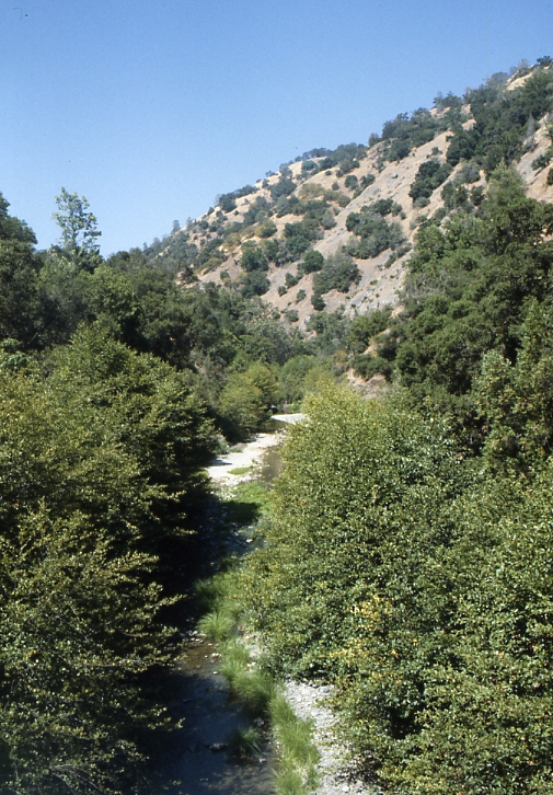 Arroyo HondoCanoeing · ~54 min drivePhoto: Robert A. Leidy PhD, US EPA, Public domain (via Wikimedia Commons)
- Kite launchBoat launch · ~18 min drive
 Lagunitas CreekCanoeing · ~1h 6m drivePhoto: Stepheng3, Public domain (via Wikimedia Commons)
- Windsurf launchBoat launch · ~18 min drive
Best time to visit San Leandro Marina Slip
Best months: Year-round. Best months have typical highs of 55–85 °F, lows of 30 °F or warmer (32 °F where the station doesn't record snow), at most one snowy day and no more than 12 wet days.
Jan
58° / 42°
10 wet
Feb
60° / 45°
10 wet
Mar
63° / 47°
10 wet
Apr
66° / 49°
6 wet
May
68° / 52°
3 wet
Jun
71° / 54°
1 wet
Jul
72° / 56°
0 wet
Aug
72° / 57°
1 wet
Sep
74° / 56°
2 wet
Oct
71° / 51°
5 wet
Nov
64° / 46°
8 wet
Dec
58° / 42°
11 wet
Typical high / low (°F) and days with rain or snow, 1991–2020. Measured at Oakland Metro Intl Ap, CA, 2.5 mi away at 6 ft. This station doesn't record snowfall. Source: NOAA NCEI U.S. Climate Normals 1991–2020.
Map and trail data © OpenStreetMap contributors
