Loading…

Free — you'll pick up right here.
Watch this trail
Sign up to watch it — saving subscribes you to gate, closure and report changes.
California
7.4 mi
Distance
1,690 ft
Gain
We won't guess. Here is exactly what we do and don't know.
What we do know
Inside Angeles National Forest
2 managing-area boundaries mapped — agency alerts for them feed this page automatically.
Boundary data
What's missing
No access route mapped
We don't yet know which road reaches this trailhead, so we can't tell you if it's gated.
Nobody's filed a report here yet — be the first.
Why you'll love it
East Fork Trail
AI-suggested draft · review before you go
No permit or access details on file for this trail — check with the local land manager before you go.
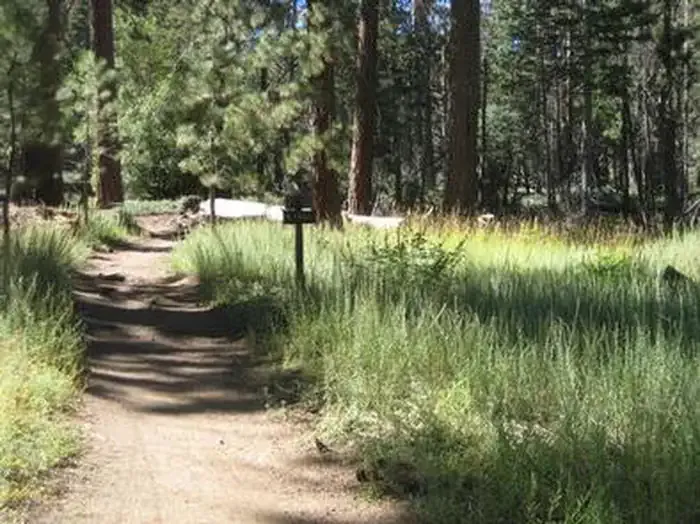
The East Fork Trail offers a moderate mountain hike through California's diverse terrain, gaining nearly 1,700 feet over 7.4 miles. This trail provides a rewarding ascent with scenic views and a good balance of challenge for intermediate hikers looking to build endurance without extreme technical demands.
Allison Mine Trail
~5 min drive
Steep Sierra climb to historic mine with alpine views and significant elevation gain.
Heaton Flats Trail
~5 min drive
Steep 2.74-mile climb with nearly 1,000 ft gain in the San Gabriel Mountains.
Eagle Mine Trail
~6 min drive
Steep 4.48-mile trail to historic Eagle Mine with 2,543 ft elevation gain.
Windy Gap Trail
~12 min drive
Moderate 5.3-mile climb with 2,263 ft gain to scenic gap views.
Soldier Creek Trail
~12 min drive
Steep 1.6-mile creek-side climb with 552 ft elevation gain.
Gold Dollar Trail
~8 min drive
Steep 2.25-mile foothill climb with 1,734 ft elevation gain.
Hawkins Ridge Trail
~13 min drive
Scenic 4-mile ridge trail with 413 ft gain and panoramic views.
Tototngna Trail
~12 min drive
Short and easy 1.31-mile trail with 295 ft elevation gain.
Bichota Canyon Trail
~8 min drive
Strenuous 11-mile canyon hike with 4,555 ft elevation gain.
Big Cienega Trail
~13 min drive
Steady 3.4-mile climb through chaparral and forest to scenic meadow.