Rock Creek
- 7.9 mi
- distance
- 2,344 ft
- high point
- Mar–Jun, Oct
- best months
Caution at last check
Agency alerts are in effect for this area; weather is good · USFS, OpenWeather · checked 21 h ago
Is Rock Creek open right now?
Alert in the area
The Forest Service lists an alert for Ukonom Ranger District.
Ishi Pishi River Area Use Restriction
Agency alert covering Ukonom Ranger District · Order 05-05-58-26-04 · USFS · Ukonom Ranger District
As of · Source: USFS · Ukonom Ranger District. Agencies don't list every closure — check before you go.
Rock Creek is a 7.9-mile paddling stretch in the Ukonom Ranger District of Six Rivers National Forest, near Somes Bar, California. The Forest Service manages the land along the creek, and the water flows year-round. USGS models put the average flow at about 162 cubic feet per second and the gradient at about 214.7 feet per mile. For comfortable paddling, late spring and early fall are the sweet spots. Typical averages from a nearby weather station in Cecilville show May highs around 75°F and September highs near 89°F, while July and August average in the mid-90s. Dillon Creek Campground and the Dillon campground both sit about 4.5 miles away, and the Dillon Creek and Bald Butte hikes are close by. For more paddling, East Fork Blue Creek is about 7.6 miles off.
Local outfitters
- Six Rivers Rafting40 mi away
- Kayak Trinidad43 mi away
Not on Roamze yet. Their page has how to reach them.
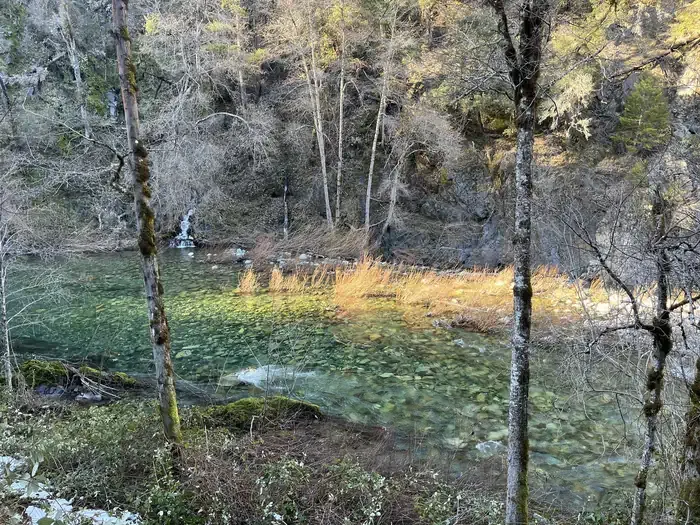 Dillon Creek CampgroundCampingPhoto: Recreation.gov (RIDB) / public domain4.5 mi
- DillonCamping4.6 mi
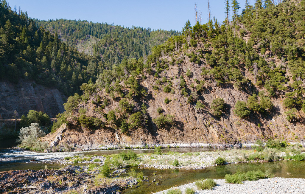 Dillon CreekHikingPhoto: Tony Webster, CC BY 2.0 (via Flickr)4.7 mi
- Bald ButteHiking4.9 mi
- Bull Pine MineHiking5 mi
- East Fork Blue CreekCanoeing7.6 mi
- Ukonom CreekCanoeing8.7 mi
- North Fork Dillon CreekCanoeing9.2 mi
Source: Roamze catalog (indexable pages within 10 miles, PostGIS distance)
 Boise CreekCanoeing · ~30 min drivePhoto: Brock Dolman, CC BY-SA 3.0 (via Wikimedia Commons)
- Ferry Point River AccessBoat launch · ~23 min drive
- Pearch Creek CampgroundFloat trip · ~25 min drive
 Salmon RiverCanoeing · ~26 min drivePhoto: Scott Harding, CC BY-SA 4.0 (via Wikimedia Commons)
- Wingate Bar Boating SiteBoat launch · ~28 min drive
- Nordheimer Group SitesFloat trip · ~31 min drive
- Dillon CreekCanoeing · ~10 min drive
- Ukonom CreekCanoeing · ~15 min drive
- North Fork Dillon CreekCanoeing · ~16 min drive
- Blue CreekCanoeing · ~17 min drive
Best time to visit Rock Creek
Best months: March–June and October. Best months have typical highs of 55–85 °F, lows of 30 °F or warmer (32 °F where the station doesn't record snow), at most one snowy day and no more than 12 wet days.
Jan
45° / 30°
Feb
51° / 31°
Mar
59° / 33°
Apr
66° / 36°
May
75° / 42°
Jun
85° / 46°
Jul
96° / 52°
Aug
94° / 50°
Sep
89° / 45°
Oct
70° / 37°
Nov
54° / 33°
Dec
43° / 30°
Typical high / low (°F) and days with rain or snow, 1991–2020. Measured at Cecilville, CA, 34.2 mi away at 2,310 ft. This station doesn't record snowfall. Source: NOAA NCEI U.S. Climate Normals 1991–2020.
