Playto Launch Ramp
- Oct–May
- best months
Playto Launch Ramp is a boat launch in the Lake San Antonio Recreation Area in California, managed by the Regional Water Districts. The nearest town is Oak Shores, about 7 miles away. Spring and fall are the most comfortable times to visit. Typical averages from the nearby Paso Robles weather station show May highs around 80°F and October highs around 81°F, with only a couple of wet days in each month. Summer is hot, with July and August highs in the low 90s and almost no rain. For time off the water, the 5K path is a hike about 9 miles from the ramp.
- Managed by
- Regional Water Districts
Source: Roamze catalog (indexable pages within 10 miles, PostGIS distance)
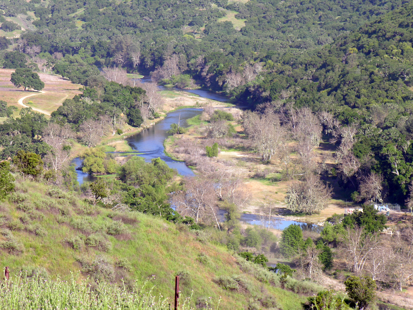 Nacimiento RiverCanoeing · ~25 min drivePhoto: Kjkolb, CC BY 2.5 (via Wikimedia Commons)
- Port San Luis Sport LaunchBoat launch · ~1h 25m drive
 San Antonio RiverCanoeing · ~26 min drivePhoto: Kjkolb, CC BY 2.5 (via Wikimedia Commons)
- Salinas RiverCanoeing · ~18 min drive
- Arroyo de la CruzCanoeing · ~32 min drive
- Estrella RiverCanoeing · ~41 min drive
- San Lorenzo CreekCanoeing · ~42 min drive
- Paso Robles CreekCanoeing · ~44 min drive
- Huerhuero CreekCanoeing · ~48 min drive
- Los Gatos CreekCanoeing · ~1h 8m drive
Best time to visit Playto Launch Ramp
Best months: October–May. Best months have typical highs of 55–85 °F, lows of 30 °F or warmer (32 °F where the station doesn't record snow), at most one snowy day and no more than 12 wet days.
Jan
62° / 34°
8 wet
Feb
64° / 37°
9 wet
Mar
68° / 40°
8 wet
Apr
73° / 41°
4 wet
May
80° / 46°
2 wet
Jun
87° / 50°
1 wet
Jul
91° / 53°
0 wet
Aug
92° / 53°
0 wet
Sep
89° / 50°
1 wet
Oct
81° / 43°
2 wet
Nov
69° / 37°
5 wet
Dec
61° / 33°
7 wet
Typical high / low (°F) and days with rain or snow, 1991–2020. Measured at Paso Robles, CA, 23.3 mi away at 730 ft. Source: NOAA NCEI U.S. Climate Normals 1991–2020.
Map and trail data © OpenStreetMap contributors
