Port San Luis Sport Launch
- Jan–Dec
- best months
Port San Luis Sport Launch is a boat launch on the California coast, within the Old Port Beach area on land managed by a regional agency. The nearest town is Avila Beach, about 2.7 miles away. Boating weather here stays mild year-round. Late summer into fall tends to be the most comfortable stretch, with typical highs around 71 to 73°F and only one to four wet days a month from August through October, based on long-term averages from the nearby Pismo Beach weather station. Winter brings more rain, with about 10 wet days a month in January and February and typical lows in the mid-40s. Several trails lie close to the launch if you want time on land. The Ontario Ridge Trail is about 2 miles away, the Sycamore Crest Trail about 2.3 miles, and the Shell Beach Bluff Trail about 2.7 miles. For climbing, Grime Dog Wall sits roughly 4.7 miles away.
- Managed by
- Regional Agency Land
 Ontario Ridge TrailHikingPhoto: Sergei Gussev, CC BY 3.0 (via Wikimedia Commons)2 mi
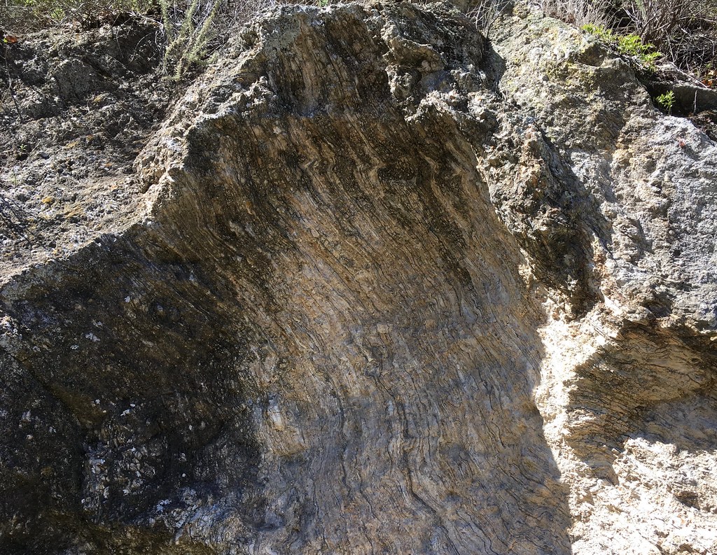 Sycamore Crest TrailHikingPhoto: docentjoyce, CC BY 2.0 (via Flickr)2.3 mi
 Shell Beach Bluff TrailHikingPhoto: Sergei Gussev, CC BY 3.0 (via Wikimedia Commons)2.7 mi
- Davis Peak Truck TrailHiking4.5 mi
 Grime Dog WallRock climbingPhoto: Sergei Gussev, CC BY 3.0 (via Wikimedia Commons)4.7 mi
- San Luis ObispoRock climbing8.4 mi
- Cerro San Luis ObispoRock climbing8.8 mi
- Toprope BoulderRock climbing9.1 mi
Source: Roamze catalog (indexable pages within 10 miles, PostGIS distance)
 Santa Maria RiverCanoeing · ~32 min drivePhoto: NHRHS2010, CC BY-SA 3.0 (via Wikimedia Commons)
- Playto Launch RampBoat launch · ~1h 25m drive
- Paso Robles CreekCanoeing · ~43 min drive
- Alamo CreekCanoeing · ~52 min drive
- Huerhuero CreekCanoeing · ~54 min drive
- San Juan CreekCanoeing · ~1h 3m drive
- Estrella RiverCanoeing · ~1h 4m drive
- La Brea CreekCanoeing · ~1h 8m drive
- Salinas RiverCanoeing · ~1h 12m drive
- Arroyo de la CruzCanoeing · ~1h 19m drive
Best time to visit Port San Luis Sport Launch
Best months: Year-round. Best months have typical highs of 55–85 °F, lows of 30 °F or warmer (32 °F where the station doesn't record snow), at most one snowy day and no more than 12 wet days.
Jan
65° / 44°
10 wet
Feb
65° / 44°
10 wet
Mar
68° / 46°
8 wet
Apr
70° / 48°
5 wet
May
72° / 49°
2 wet
Jun
70° / 51°
1 wet
Jul
70° / 54°
1 wet
Aug
71° / 55°
1 wet
Sep
72° / 54°
2 wet
Oct
73° / 53°
4 wet
Nov
69° / 46°
6 wet
Dec
65° / 44°
8 wet
Typical high / low (°F) and days with rain or snow, 1991–2020. Measured at Pismo Beach, CA, 4.2 mi away at 39 ft. Source: NOAA NCEI U.S. Climate Normals 1991–2020.
Map and trail data © OpenStreetMap contributors
