San Antonio River
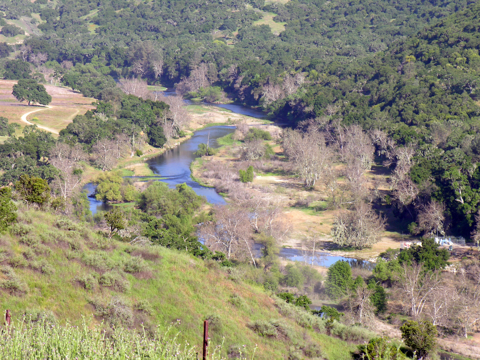
 Photo: Kjkolb, CC BY 2.5 (via Wikimedia Commons)
- 45.2 mi
- distance
- 3,042 ft
- high point
- Jan–Dec
- best months
The San Antonio River is a 45-mile paddling stretch near Fort Hunter Liggett, California, on land managed by the Department of Defense. The river is intermittent and may run dry in some seasons. USGS models an average flow of about 121 cubic feet per second and a gradient of about 50.4 feet per mile. Summer is the most comfortable time to paddle. Typical averages from a nearby weather station show July and August highs around 75 to 77°F with almost no wet days, while winter months bring highs near 60°F and about eight wet days a month. The Nacimiento River, about 6 miles away, offers another paddling option. For time on foot, the Lottie Potrero Trail and Slick Rock are both within about 10 miles, and Ponderosa campground sits just under 10 miles off.
Local outfitters
- Chablis Cruises46 mi away
Not on Roamze yet. Their page has how to reach them.
 Nacimiento RiverCanoeingPhoto: Kjkolb, CC BY 2.5 (via Wikimedia Commons)5.9 mi
- Lottie Potrero TrailHiking9.4 mi
- PonderosaCamping9.6 mi
- Slick RockHiking9.9 mi
Source: Roamze catalog (indexable pages within 10 miles, PostGIS distance)
- Nacimiento RiverCanoeing · ~10 min drivePhoto: Kjkolb, CC BY 2.5 (via Wikimedia Commons)
- Playto Launch RampBoat launch · ~26 min drive
 Carmel RiverCanoeing · ~1h 16m drivePhoto: David.c.stone, CC BY 3.0 (via Wikimedia Commons)
- Arroyo de la CruzCanoeing · ~32 min drive
- San Lorenzo CreekCanoeing · ~40 min drive
- Salinas RiverCanoeing · ~43 min drive
- Estrella RiverCanoeing · ~1h 6m drive
- Paso Robles CreekCanoeing · ~1h 7m drive
- San Benito RiverCanoeing · ~1h 8m drive
- Little Sur RiverCanoeing · ~1h 12m drive
Best time to visit San Antonio River
Best months: Year-round. Best months have typical highs of 55–85 °F, lows of 30 °F or warmer (32 °F where the station doesn't record snow), at most one snowy day and no more than 12 wet days.
Jan
60° / 47°
8 wet
Feb
60° / 45°
8 wet
Mar
62° / 47°
8 wet
Apr
65° / 47°
5 wet
May
69° / 52°
2 wet
Jun
73° / 55°
1 wet
Jul
75° / 57°
0 wet
Aug
77° / 58°
0 wet
Sep
78° / 60°
1 wet
Oct
74° / 56°
3 wet
Nov
66° / 50°
5 wet
Dec
59° / 46°
8 wet
Typical high / low (°F) and days with rain or snow, 1991–2020. Measured at Hearst Castle, CA, 20 mi away at 1,526 ft. The station sits about 1,500 ft lower than this place, so expect it a little cooler here. Source: NOAA NCEI U.S. Climate Normals 1991–2020.


