Briceburg Put-in
Free — you'll pick up right here.
Watch this water
Sign up to watch it — saving subscribes you to gate, closure and report changes.
California
Briceburg Put-in
We don't cover this water yet
No agency boundary, access route or field report is mapped to it — so there is no verdict, and we won't guess. We'll tell you the moment this water has something to say.
Covered nearby
Waters within 25 miles where we do have a current picture.
Nobody's filed a report here yet — be the first.
Here's your day on the water, mapped
Briceburg Put-in
AI-suggested draft · review before you go
Photos
Directions & GPX
Permits & access
- Managing agency
- Bureau of Land Management
- Access notes
- Parking lot, picnic table, and vault toilet are ADA accessible. Access to beach is not ADA accessible.
About this water
Remember your OUTDOOR ETHICS when enjoying your public lands. Please RECREATE RESPONSIBLY. OverviewAt the entrance to the BLM, Merced River Recreation Management Area (RMA) is the Briceburg Put-In. This Day-Use Area and Boat Launch is located 12 miles east of Mariposa where Highway 140 meets the Wild & Scenic Merced River. Just below the Briceburg Visitor Center is a parking area, restrooms, picnic area, and boat launch for whitewater river access. This gravel parking area serves as a meeting place for river trips, and a rest stop for Yosemite motorists. There is a great view of the Briceburg Suspension Bridge which was installed in 1926 and provides access to the north side of the Merced River and the BLM campgrounds downstream. Popular activities here are gold panning/prospecting, fishing, picnicking, rafting take-out or put-in. It is a good place to meet and carpool downstream to other swimming holes in the BLM, Merced River RMA. Facilities: This site has a picnic table, raised barbeque grill, vault toilet, information kiosk, trash and recycling containers. What You Need To Know:Camping and campfires are not allowed anytime. Charcoal BBQ's are allowed in the provided raised metal grill during winter and spring until fire restrictions go into effect. It is best to bring your own propane BBQ or stove for cooking any time of year. Pay Attention: No lifeguard on duty. Swimming is dangerous any time of year, but especially during spring and early summer. The Merced River is un-damned and the flow changes dramatically from year to year and season to season. Please wear a life jacket. SWIMMING IS ONLY RECOMMENDED BELOW 700 CFS. Helpful Links: River flow is posted on-line at: www.dreamflows.com Back To: Merced River Recreation Management Area Visit: Briceburg Visitor Center Return To: BLM, Mother Lode Field Office
Add to a trip & share
Keep exploring — more water worth the drive
 Photo: Eeekster, CC BY 3.0 (via Wikimedia Commons)
South Fork Tuolumne River
~26 min drive
South Fork Tuolumne River is a 24-mile paddling stretch near Groveland, California. It flows year-round. USGS models an average flow of about 266 cfs and a gradient of about 209.6 feet per mile. Land along it is managed by the U.S. Forest Service.
Chilkoot
~49 min drive
A worthwhile stop near California.
Bagby Boat Launch
~15 min drive
Bagby Boat Launch is a boat launch in California.
 Photo: LaurentianShield, CC BY-SA 4.0 (via Wikimedia Commons)
Mariposa Creek
~31 min drive
Mariposa Creek is a 44-mile paddling stretch near Catheys Valley, California. It is intermittent and may run dry in some seasons. USGS models an average flow of about 45 cfs and a gradient of about 51.2 feet per mile.
Edison Boat Ramp
~28 min drive
A worthwhile stop near California.
 Photo: California High-Speed Rail Authority, Public domain (via Wikimedia Commons)
Fresno River
~44 min drive
Fresno River is a 31-mile paddling stretch near Coarsegold, California. It is intermittent and may run dry in some seasons. USGS models an average flow of about 158 cfs and a gradient of about 75.2 feet per mile.
Merals Pool Ramp
~29 min drive
Merals Pool Ramp is a boat launch in California.
 Photo: Kylir Horton from Eagle Mountain, Utah, United States, CC BY 2.0 (via Wikimedia Commons)
Merced River
~45 min drive
Merced River is a 11-mile paddling stretch near Yosemite National Park, California. It flows year-round. USGS models an average flow of about 1,854 cfs and a gradient of about 158.6 feet per mile. Land along it is managed by the National Park Service.
Cherry Lake Boating Site
~44 min drive
A worthwhile stop near California.
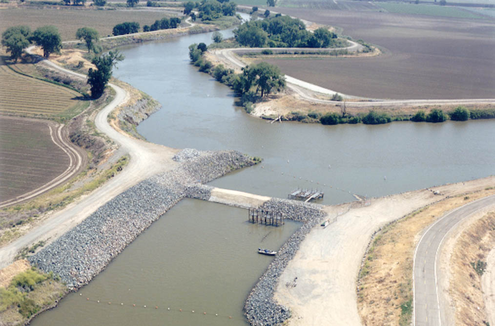 Photo: MCalamari, Public domain (via Wikimedia Commons)
San Joaquin River
~48 min drive
San Joaquin River is a 45-mile paddling stretch near Raymond, California. It is intermittent and may run dry in some seasons. USGS models an average flow of about 3,108 cfs and a gradient of about 62.7 feet per mile.
Also worth it near here
Crane Flat Campground
~22 min drive
Gin Flat Ski Trail
~24 min drive
 Photo: stevelyon, CC BY-SA 2.0 (via Flickr)
Lower Merced River Canyon
~27 min drive
 Photo: Eeekster, CC BY 3.0 (via Wikimedia Commons)
Golden Stairs to Cherry Oil Rd
~28 min drive
 Photo: peterparr, Public domain (via Wikimedia Commons)
Badger Pass Ski Area
~29 min drive
