Silver Lake Campground June Lake (CA)
Campground
Campground · 0.2 mi from the trail
Alert in the area
The Forest Service lists 3 alerts for Inyo National Forest.
Help Halt Golden Mussel Invasion
Agency alert covering Inyo National Forest · USFS · Inyo National Forest
Ansel Adams and John Muir Wilderness Campfire Restrictions
Agency alert covering Inyo National Forest · Order 05-04-50-25-04 · USFS · Inyo National Forest
Golden Trout and Hoover Wilderness Campfire Restrictions
Agency alert covering Inyo National Forest · Order 05-04-50-25-05 · USFS · Inyo National Forest
As of · Source: USFS · Inyo National Forest. Agencies don't list every closure — check before you go.
Silver Lake Boat Launch is a boat launch in the Mono Lake Ranger District of Inyo National Forest in California, about 1.5 miles from the town of June Lake. It is a simple put-in with no fees required to use it, and the site has flush toilets. Summer is the most comfortable time to visit. Typical averages from a nearby weather station in Lee Vining show July highs around 84°F with lows near 54°F, while winter highs stay in the low 40s. The launch sits right next to Silver Lake Campground, about 0.2 miles away, and the Rush Creek hike starts just as close. Climbers can find the 9-Secor and 7-Lewis areas within half a mile.
Silver Lake Campground June Lake (CA)
Campground
Eagle’s Landing Restaurant
Restaurant
 If it rainsEeekster, CC BY 3.0 · Wikimedia Commons
Sierra Point
Viewpoint
Point in Yosemite National Park at the eastern end of the valley
Places © OpenStreetMap contributors · Photos: Eeekster, CC BY 3.0 (commons)
More in Mammoth Lakes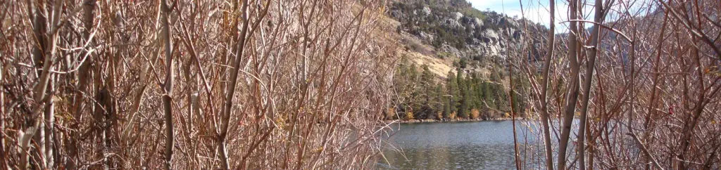 Silver Lake Campground June Lake (CA)CampingPhoto: Recreation.gov (RIDB) / public domain0.2 mi
 Silver Lake CampgroundCampingPhoto: docentjoyce — CC BY 2.0 (via Flickr)0.2 miRush CreekHikingPhoto: docentjoyce, CC BY 2.0 (via Flickr)0.2 mi
 9-SecorRock climbingPhoto: jfdervin, CC BY-SA 2.0 (via Flickr)0.4 mi7-LewisRock climbingPhoto: jfdervin, CC BY-SA 2.0 (via Flickr)0.5 mi8-MoynierRock climbingPhoto: jfdervin, CC BY-SA 2.0 (via Flickr)0.5 mi
 Lower Rush Creek LoopHikingPhoto: daveynin, CC BY 2.0 (via Flickr)0.6 mi
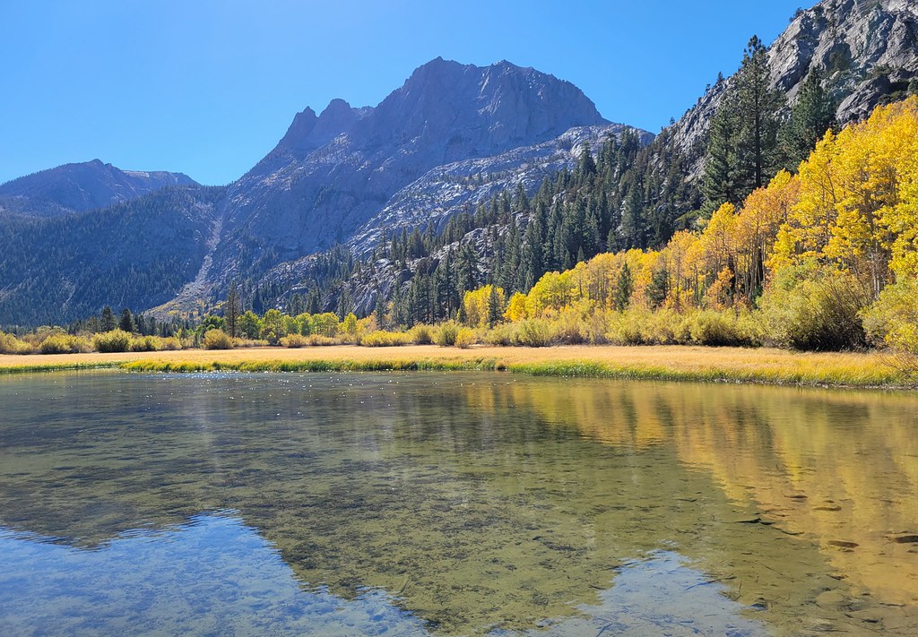 Silver Lake Horse TrailHikingPhoto: Moo.The.Cow, CC BY 2.0 (via Flickr)0.9 mi
Source: Roamze catalog (indexable pages within 10 miles, PostGIS distance)
 Rush CreekCanoeing · ~8 min drivePhoto: Greg Reis, CC BY-SA 3.0 (via Wikimedia Commons)
 Merced RiverCanoeing · ~37 min drivePhoto: Kylir Horton from Eagle Mountain, Utah, United States, CC BY 2.0 (via Wikimedia Commons)
 East Walker RiverCanoeing · ~1h 8m drivePhoto: Ixfd64, CC BY-SA 4.0 (via Wikimedia Commons)
 South Fork San Joaquin RiverCanoeing · ~57 min drivePhoto: The Greater Southwestern Exploration Company from Long Beach, California, United States, CC BY 2.0 (via Wikimedia Commons)
Best months: April–October. Best months have typical highs of 55–85 °F, lows of 30 °F or warmer (32 °F where the station doesn't record snow), at most one snowy day and no more than 12 wet days.
Jan
41° / 21°
6 wet
Feb
44° / 23°
7 wet
Mar
51° / 28°
6 wet
Apr
58° / 32°
4 wet
May
66° / 40°
4 wet
Jun
77° / 47°
3 wet
Jul
84° / 54°
3 wet
Aug
83° / 52°
3 wet
Sep
76° / 45°
2 wet
Oct
65° / 36°
3 wet
Nov
53° / 28°
4 wet
Dec
42° / 22°
6 wet
Typical high / low (°F) and days with rain or snow, 1991–2020. Measured at Lee Vining, CA, 12.2 mi away at 6,797 ft. We don't have this place's elevation, so higher spots nearby can run cooler. This station doesn't record snowfall. Source: NOAA NCEI U.S. Climate Normals 1991–2020.

