Butte Creek
- 46.4 mi
- distance
- 5,832 ft
- high point
- May–Oct
- best months
Clear at last check
Weather is good · usgs_nwis, OpenWeather · checked 20 h ago
Butte Creek is a paddling stretch of about 46 miles near Magalia, California, running through land managed by the Bureau of Land Management's Redding Field Office. The creek drops at an average gradient of about 116 feet per mile, with a modeled average flow of about 745 cfs. It is intermittent and may run dry in some seasons, so water levels on this stretch can't be counted on year-round. Summer brings the warmest conditions. Typical averages from a nearby weather station at Mineral show July and August highs around 82°F with lows in the low 40s, and September stays mild with highs near 77°F. Close by are the Summerwind Trail and Indian Springs Trail, both within about 2 miles. For more paddling, the West Branch Feather River lies about 5 miles away and Big Chico Creek about 6 miles away.
- Summerwind TrailHiking1.1 mi
- Indian Springs TrailHiking1.6 mi
- West Branch Feather RiverCanoeing5 mi
- Loop Meadows TrailHiking5.7 mi
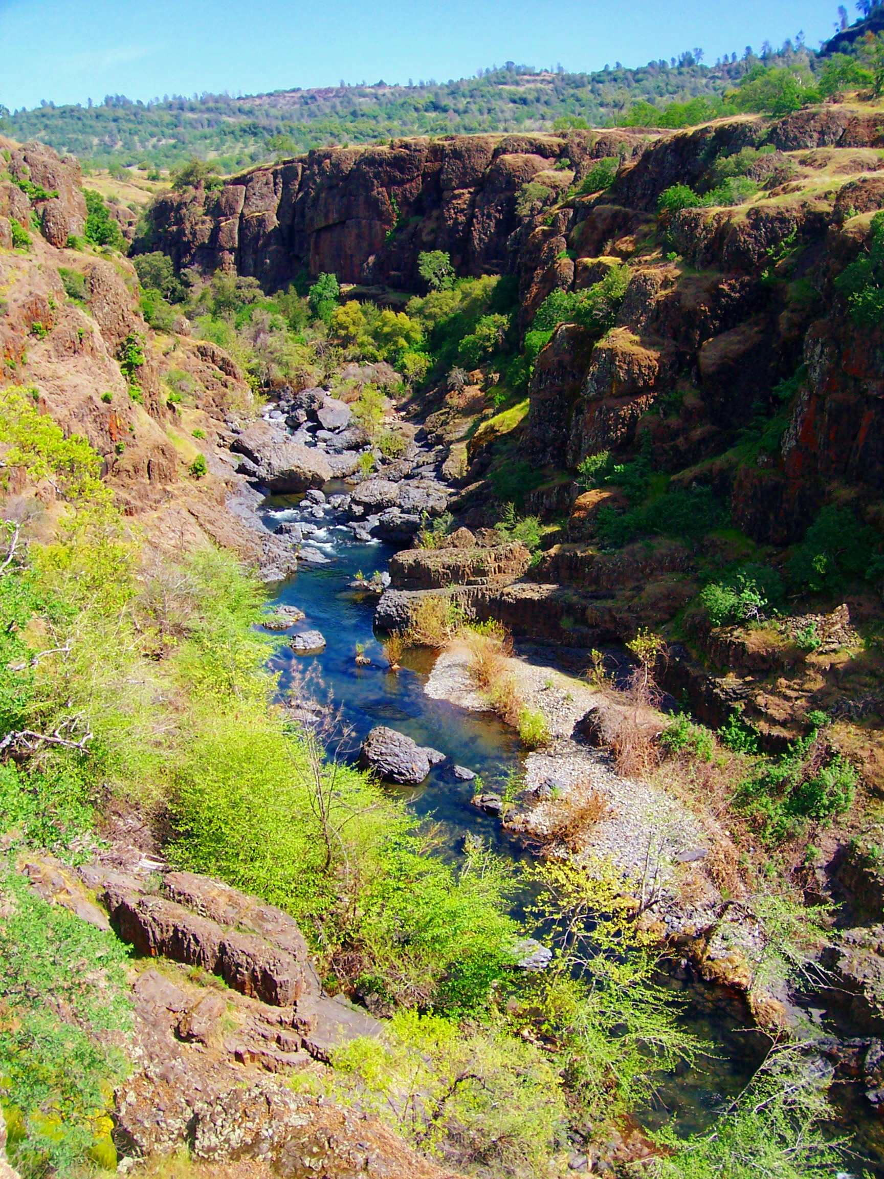 Big Chico CreekCanoeingPhoto: Ebryden at English Wikipedia, Public domain (via Wikimedia Commons)6.4 mi
- Maslin TrailHiking7.7 mi
- Ten Mile House TrailHiking8 mi
 Devil's KitchenRock climbingPhoto: Frank Schulenburg, CC BY-SA 4.0 (via Wikimedia Commons)9.7 mi
Source: Roamze catalog (indexable pages within 10 miles, PostGIS distance)
- Big Chico CreekCanoeing · ~11 min drivePhoto: Ebryden at English Wikipedia, Public domain (via Wikimedia Commons)
- Sandy Point Boating and Day Use SiteBoat launch · ~39 min drive
 Deer CreekCanoeing · ~26 min drivePhoto: Kmmontandon at English Wikipedia, Public domain (via Wikimedia Commons)
 North Fork Feather RiverCanoeing · ~53 min drivePhoto: Mrgooseskin at English Wikipedia., CC BY-SA 3.0 (via Wikimedia Commons)
- West Branch Feather RiverCanoeing · ~9 min drive
- Concow CreekCanoeing · ~17 min drive
- Rock CreekCanoeing · ~23 min drive
- Pine CreekCanoeing · ~26 min drive
- Singer CreekCanoeing · ~28 min drive
- French CreekCanoeing · ~30 min drive
Also worth it near here
Best time to visit Butte Creek
Best months: May–October. Best months have typical highs of 55–85 °F, lows of 30 °F or warmer (32 °F where the station doesn't record snow), at most one snowy day and no more than 12 wet days.
Jan
43° / 24°
Feb
45° / 24°
Mar
49° / 26°
Apr
54° / 29°
May
63° / 35°
Jun
73° / 40°
Jul
82° / 44°
Aug
82° / 42°
Sep
77° / 38°
Oct
64° / 32°
Nov
50° / 27°
Dec
42° / 24°
Typical high / low (°F) and days with rain or snow, 1991–2020. Measured at Mineral, CA, 31.1 mi away at 4,875 ft. The station sits about 1,000 ft lower than this place, so expect it a little cooler here. This station doesn't record snowfall. Source: NOAA NCEI U.S. Climate Normals 1991–2020.

