Loop Meadows Trail
- 1.0 mi
- round trip
- 624 ft
- climb
- 1,533 ft
- high point
- Out and back
- route
- Feb–Jun, Oct–Nov
- best months
Loop Meadows Trail is a short, easy hike of about 1.02 miles through the Big Chico Creek Ecological Reserve in California, a reserve managed by a non-governmental organization. The trail runs out and back, with the high point at 1,533 feet, and the climb is back-loaded, so the steepest stretch comes early on the return leg. The trail starts at an elevation of about 1,517 feet and rises to about 1,533 feet before descending back to the starting point. The steepest part, a grade of about 18%, occurs at about 0.47 miles in, and the total elevation gain and loss for the round trip are each about 624 feet. The route is rated easy, and the trip should take about an hour. Spring and fall are the most comfortable times to go. Typical averages from a nearby weather station in Paradise put May highs around 75°F with lows near 54°F, and October is similar, with highs around 74°F and only about five wet days in the month. Nearby, Maslin Trail lies about 2.1 miles away, and Ten Mile House Trail is about 2.8 miles off. Paddlers can find Big Chico Creek about 2.3 miles away, and climbers can reach Devil's Kitchen about 4.3 miles away.
- Maslin TrailHiking2.1 mi
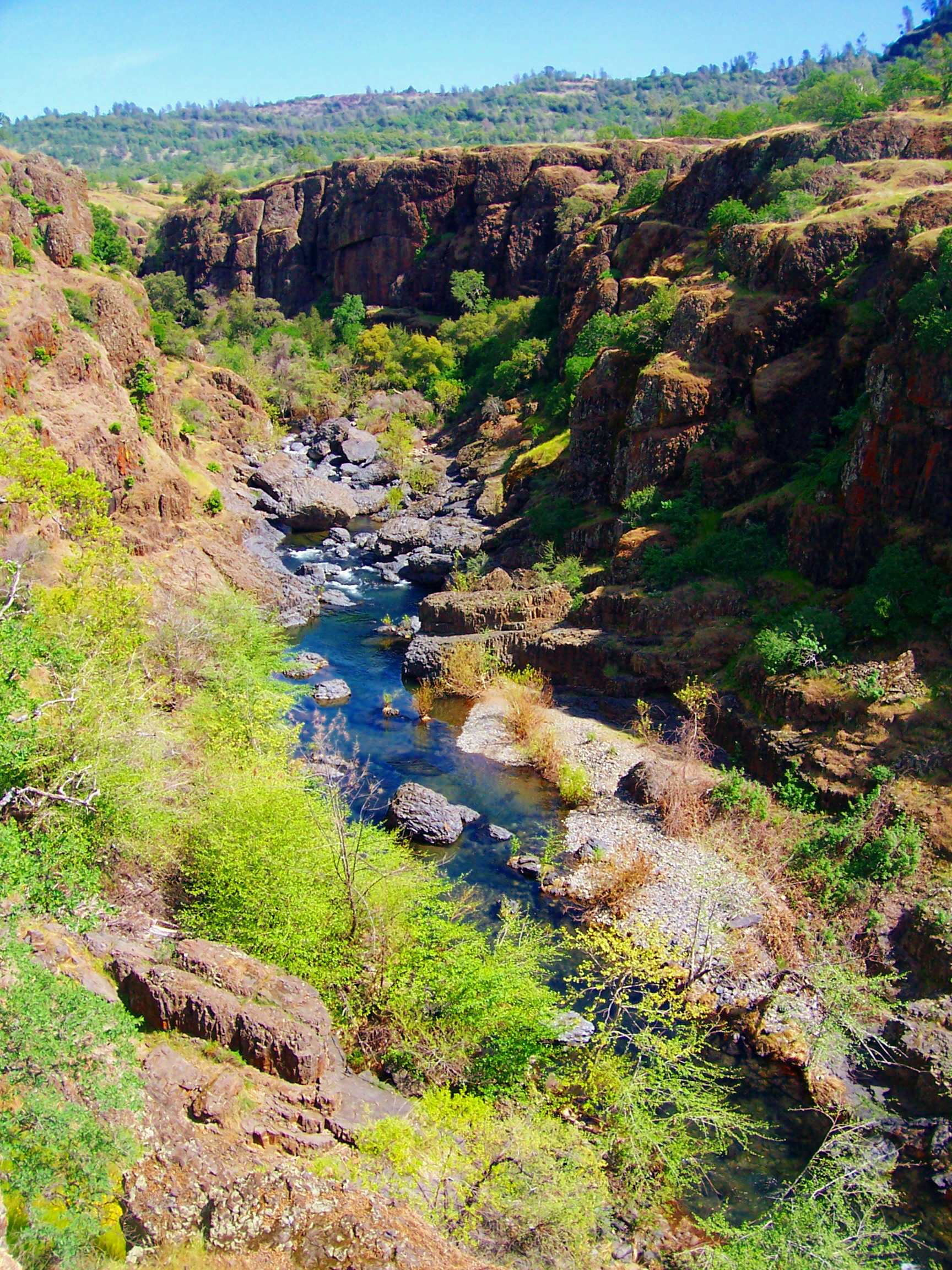 Big Chico CreekCanoeingPhoto: Ebryden at English Wikipedia, Public domain (via Wikimedia Commons)2.3 mi
- Ten Mile House TrailHiking2.8 mi
 Pine TrailHikingPhoto: dirvish, CC BY 2.0 (via Flickr)3.3 mi
 Devil's KitchenRock climbingPhoto: Frank Schulenburg, CC BY-SA 4.0 (via Wikimedia Commons)4.3 mi
- The Color WallRock climbing4.7 mi
- Upper Bidwell ParkRock climbingPhoto: Frank Schulenburg, CC BY-SA 4.0 (via Wikimedia Commons)5 mi
- Butte CreekCanoeing5.7 mi
Source: Roamze catalog (indexable pages within 10 miles, PostGIS distance)
- Pine TrailHiking · ~6 min drivePhoto: dirvish, CC BY 2.0 (via Flickr)
- B TrailHiking · ~7 min drivePhoto: dirvish, CC BY 2.0 (via Flickr)
 Annie Bidwell TrailHiking · ~9 min drivePhoto: ray_explores, CC BY 2.0 (via Flickr)
 Guardian TrailHiking · ~10 min drivePhoto: ray_explores, CC BY 2.0 (via Flickr)
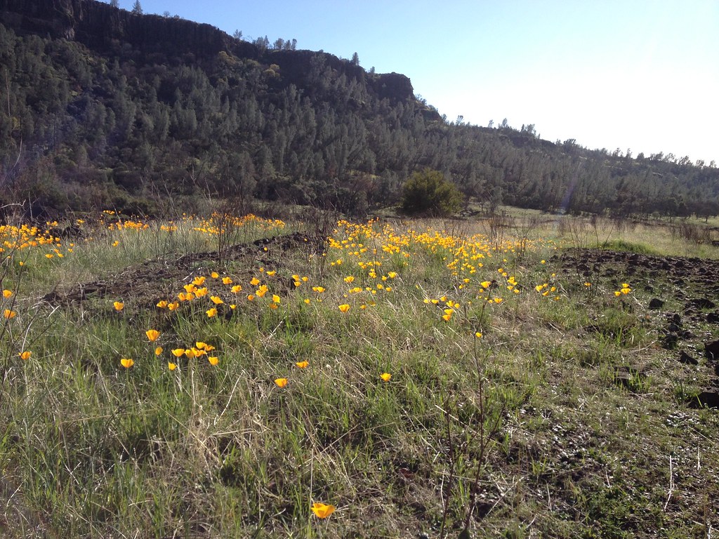 Bloody Pin TrailHiking · ~7 min drivePhoto: dirvish, CC BY 2.0 (via Flickr)
 North Rim TrailHiking · ~8 min drivePhoto: ray_explores, CC BY 2.0 (via Flickr)
- Pine Creek TrailHiking · ~16 min drive
- Grahams PineryHiking · ~26 min drive
- Humboldt TrailHiking · ~7 min drivePhoto: dirvish, CC BY 2.0 (via Flickr)
- Upper TrailHiking · ~9 min drivePhoto: ray_explores, CC BY 2.0 (via Flickr)
Also worth it near here
- Big Chico CreekCanoeing · ~4 min drivePhoto: Ebryden at English Wikipedia, Public domain (via Wikimedia Commons)
- Devil's KitchenRock climbing · ~7 min drivePhoto: Frank Schulenburg, CC BY-SA 4.0 (via Wikimedia Commons)
- Horseshoe LakeLake fishing · ~11 min drive
- Forks of Butte Creek Primitive Camping AreaCamping · ~11 min drive
Best time to visit Loop Meadows Trail
Best months: February–June and October–November. Best months have typical highs of 55–85 °F, lows of 30 °F or warmer (32 °F where the station doesn't record snow), at most one snowy day and no more than 12 wet days.
Jan
54° / 41°
12 wet
Feb
56° / 42°
11 wet
Mar
61° / 45°
11 wet
Apr
66° / 48°
8 wet
May
75° / 54°
5 wet
Jun
84° / 61°
3 wet
Jul
91° / 67°
1 wet
Aug
90° / 66°
1 wet
Sep
86° / 62°
2 wet
Oct
74° / 54°
5 wet
Nov
61° / 45°
9 wet
Dec
54° / 40°
12 wet
Typical high / low (°F) and days with rain or snow, 1991–2020. Measured at Paradise, CA, 7.6 mi away at 1,750 ft. Source: NOAA NCEI U.S. Climate Normals 1991–2020.
Map and trail data © OpenStreetMap contributors
