Summerwind Trail
- 0.5 mi
- round trip
- 123 ft
- climb
- 3,189 ft
- high point
- Out and back
- route
- Feb–Jun, Oct–Nov
- best months
Summerwind Trail is a short, easy hike on Bureau of Land Management land in the Redding Field Office, about 2.3 miles from the community of Dodge Place, California. The trail is an out-and-back, roughly 0.9 miles long, with a total climb of about 123 feet. The route is front-loaded, with the steepest stretch at about 0.2 miles from the start, where the grade reaches about 6 percent. Spring and fall are the most comfortable times to go. Typical averages from a nearby weather station at De Sabla show May highs around 74°F and October highs around 74°F, while July and August average about 91°F. That station sits roughly 480 feet lower than the trail, so temperatures on the trail run a little cooler. Butte Creek, a canoeing spot, is about 1.1 miles away, and Indian Springs Trail is about 2.2 miles off. Loop Meadows Trail and Big Chico Creek are both within about 6 miles.
- Butte CreekCanoeing1.1 mi
- Indian Springs TrailHiking2.2 mi
- Loop Meadows TrailHiking5.4 mi
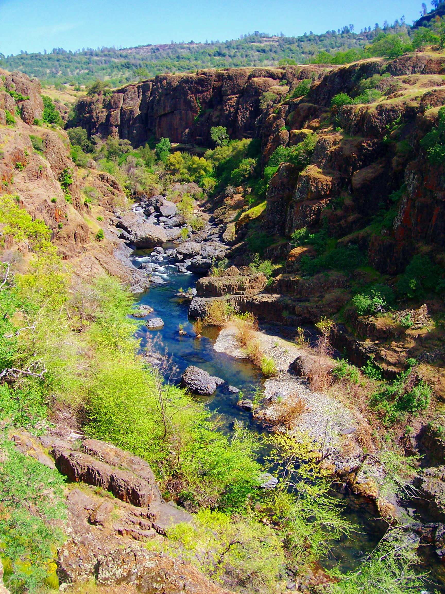 Big Chico CreekCanoeingPhoto: Ebryden at English Wikipedia, Public domain (via Wikimedia Commons)5.7 mi
- West Branch Feather RiverCanoeing5.8 mi
- Maslin TrailHiking7.4 mi
 Devil's KitchenRock climbingPhoto: Frank Schulenburg, CC BY-SA 4.0 (via Wikimedia Commons)9.6 mi
- The Color WallRock climbing9.9 mi
Source: Roamze catalog (indexable pages within 10 miles, PostGIS distance)
 Pine TrailHiking · ~14 min drivePhoto: dirvish, CC BY 2.0 (via Flickr)
- B TrailHiking · ~16 min drivePhoto: dirvish, CC BY 2.0 (via Flickr)
 Annie Bidwell TrailHiking · ~18 min drivePhoto: ray_explores, CC BY 2.0 (via Flickr)
 Guardian TrailHiking · ~19 min drivePhoto: ray_explores, CC BY 2.0 (via Flickr)
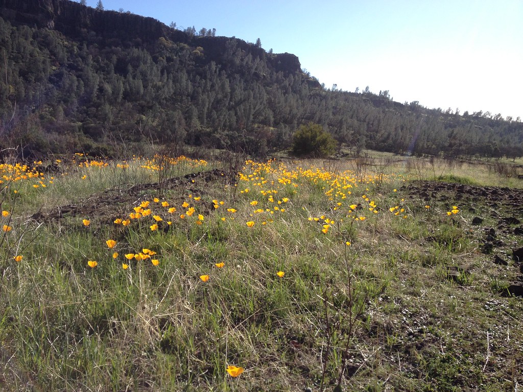 Bloody Pin TrailHiking · ~16 min drivePhoto: dirvish, CC BY 2.0 (via Flickr)
 North Rim TrailHiking · ~18 min drivePhoto: ray_explores, CC BY 2.0 (via Flickr)
- Campbellville TrailHiking · ~21 min drive
- Grahams PineryHiking · ~21 min drive
- Humboldt TrailHiking · ~16 min drivePhoto: dirvish, CC BY 2.0 (via Flickr)
- Upper TrailHiking · ~18 min drivePhoto: ray_explores, CC BY 2.0 (via Flickr)
Also worth it near here
- Forks of Butte Creek Primitive Camping AreaCamping · ~2 min drive
- Big Chico CreekCanoeing · ~10 min drivePhoto: Ebryden at English Wikipedia, Public domain (via Wikimedia Commons)
- Devil's KitchenRock climbing · ~16 min drivePhoto: Frank Schulenburg, CC BY-SA 4.0 (via Wikimedia Commons)
- Horseshoe LakeLake fishing · ~20 min drive
Best time to visit Summerwind Trail
Best months: February–June and October–November. Best months have typical highs of 55–85 °F, lows of 30 °F or warmer (32 °F where the station doesn't record snow), at most one snowy day and no more than 12 wet days.
Jan
53° / 35°
13 wet
Feb
55° / 35°
12 wet
Mar
60° / 37°
12 wet
Apr
66° / 40°
9 wet
May
74° / 47°
7 wet
Jun
84° / 53°
3 wet
Jul
91° / 58°
1 wet
Aug
91° / 57°
1 wet
Sep
86° / 53°
2 wet
Oct
74° / 46°
6 wet
Nov
59° / 38°
10 wet
Dec
51° / 34°
13 wet
Typical high / low (°F) and days with rain or snow, 1991–2020. Measured at De Sabla, CA, 2.6 mi away at 2,710 ft. Source: NOAA NCEI U.S. Climate Normals 1991–2020.
Map and trail data © OpenStreetMap contributors
