Skillman Horse Campground
Campground
Campground · 0.1 mi from the trail
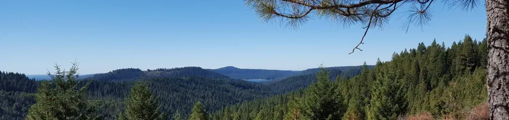
 Photo: J.smith, CC BY-SA 3.0 (via Wikimedia Commons)
Alert in the area
The Forest Service lists an alert for Tahoe National Forest.
Camping and Campfire Restrictions-Truckee and Sierraville Districts
Agency alert covering Tahoe National Forest · Order 17-25-05 · USFS · Tahoe National Forest
As of · Source: USFS · Tahoe National Forest. Agencies don't list every closure — check before you go.
South Yuba River is a 38-mile paddling stretch near Nevada City, California. It is intermittent and may run dry in some seasons. USGS models an average flow of about 1,222 cfs and a gradient of about 100.5 feet per mile. Land along it is managed by the U.S. Forest Service.
Skillman Horse Campground
Campground
The Rustic Table
Restaurant
Firehouse Number 1 Museum
Museum
Places © OpenStreetMap contributors
More in Nevada CityNot on Roamze yet. Their page has how to reach them.
 OMEGA OVERLOOK MC TRAILHikingPhoto: jdnx, CC BY 2.0 (via Flickr)0.3 mi
 White CloudCampingPhoto: Recreation.gov (RIDB) / public domain3 mi
Source: Roamze catalog (indexable pages within 10 miles, PostGIS distance)
 Bear RiverCanoeing · ~15 min drivePhoto: Nick Ares, CC BY-SA 2.0 (via Wikimedia Commons)
 Downie RiverCanoeing · ~33 min drivePhoto: Ken Lund, CC BY-SA 2.0 (via Wikimedia Commons)
Also worth it near here
OMEGA OVERLOOK MC TRAILHiking · Next doorPhoto: jdnx, CC BY 2.0 (via Flickr) Tie_4_powerlineMountain biking · ~12 min drivePhoto: blmcalifornia, Public domain (via Wikimedia Commons)
 Stress Management BouldersRock climbing · ~12 min drivePhoto: ericheath, CC BY 2.0 (via Flickr)
