Watson Lake Campground
Campground
Campground · 1.0 mi from the trail
Alert in the area
The Forest Service lists an alert for Tahoe National Forest.
Camping and Campfire Restrictions-Truckee and Sierraville Districts
Agency alert covering Tahoe National Forest · Order 17-25-05 · USFS · Tahoe National Forest
As of · Source: USFS · Tahoe National Forest. Agencies don't list every closure — check before you go.
Watson Peak Road is a short, easy mountain biking route in California's Tahoe National Forest, within the Truckee Ranger District. The out-and-back trip covers about 3 miles, with a one-way climb of 559 feet from a low point of 7,749 feet to a high of 8,324 feet. The Forest Service manages the land. The route makes a straightforward outing for riders looking to spend a few hours on a low-elevation climb. The OTB Trail lies about 0.4 miles away, and the Western State Tahoe Rim Tie hike is about half a mile off, so it's easy to pair the road with another ride or a walk. For an overnight stay, Silver Creek-Truckee campground is about 2.5 miles away. Climbers can head to Light Deprivation Buttress, roughly 2.3 miles from the road.
Watson Lake Campground
Campground
River Ranch
Restaurant
Places © OpenStreetMap contributors
More in Sunnyside-Tahoe CityNot on Roamze yet. Their page has how to reach them.
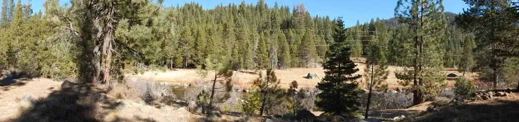 Silver Creek-TruckeeCampingPhoto: Recreation.gov (RIDB) / public domain2.5 mi
 Silver Creek CgCampingPhoto: Rojer — CC BY 2.0 (via Flickr)2.5 mi
 Martis CreekCanoeingPhoto: Schmiebel, CC BY-SA 3.0 (via Wikimedia Commons)4.5 mi
Source: Roamze catalog (indexable pages within 10 miles, PostGIS distance)
 Tahoe Rim TrailMountain biking · ~1 min drivePhoto: AT2663, CC BY-SA 3.0 (via Wikimedia Commons)Tahoe Rim TrailMountain biking · ~2 min drivePhoto: AT2663, CC BY-SA 3.0 (via Wikimedia Commons)Tahoe Rim TrailMountain biking · ~2 min drivePhoto: AT2663, CC BY-SA 3.0 (via Wikimedia Commons)Tahoe Rim TrailMountain biking · ~2 min drivePhoto: AT2663, CC BY-SA 3.0 (via Wikimedia Commons)Tahoe Rim TrailMountain biking · ~2 min drivePhoto: AT2663, CC BY-SA 3.0 (via Wikimedia Commons)Tahoe Rim TrailMountain biking · ~3 min drivePhoto: AT2663, CC BY-SA 3.0 (via Wikimedia Commons)Tahoe Rim Trail (Painted Rock North)Mountain biking · ~2 min drivePhoto: AT2663, CC BY-SA 3.0 (via Wikimedia Commons)Tahoe Rim TrailMountain biking · ~2 min drivePhoto: AT2663, CC BY-SA 3.0 (via Wikimedia Commons)
Map and trail data © OpenStreetMap contributors

