Green Canyon Group Cg
Campground
Campground · 1.8 mi from the trail
Closure in the area
There's a closure order in Mountaintop Ranger District. It doesn't name Sugarloaf National Recreational Trail, so check the source for the area it covers.
Radford Fire Closure Area
Agency closure covering Mountaintop Ranger District · Order 05-12-52-24-06 · USFS · Mountaintop Ranger District
Safety Alert - Falling Rocks at Bonita Falls
Agency alert covering San Bernardino National Forest · USFS · San Bernardino National Forest
Fire Restrictions
Agency alert covering San Bernardino National Forest · Order 05-12-00-26-05 · USFS · San Bernardino National Forest
As of · Source: USFS · Mountaintop Ranger District. Agencies don't list every closure — check before you go.
The Sugarloaf National Recreational Trail is a mountain biking route in California's San Bernardino National Forest, within the Mountaintop Ranger District. The Forest Service manages the land, and the trail is an out-and-back that climbs from about 9,000 feet to nearly 10,000 feet, with a total elevation gain of 1,119 feet over a round trip of about 4.9 miles. The route is rated hard, so plan for a steep, sustained climb. The trail starts at a low point of about 8,969 feet and reaches a high point of about 9,950 feet. That makes it a short but challenging ride for mountain bikers looking to gain a few thousand feet in a single outing. Several other destinations sit within a few miles. Green Spot Equestrian Group Camp is about 1.9 miles away, and the Santa Ana River Trail and Sugarlump Trail are both within about 2.2 miles. For climbing, Buckthorn Boulder is roughly 4.9 miles off.
Green Canyon Group Cg
Campground
Kallans Bar & Grill
Pub
 If it rainsBeyond My Ken, CC BY-SA 4.0 · Wikimedia Commons
Deep Creek Hot Springs
Hot spring
Natural hot springs located in San Bernardino National Forest, California, United States
Places © OpenStreetMap contributors · Photos: Beyond My Ken, CC BY-SA 4.0 (commons)
More in Lucerne ValleyNot on Roamze yet. Their page has how to reach them.
 Santa Ana River TrailHikingPhoto: inkknife_2000 (7.5 million views +), CC BY-SA 2.0 (via Wikimedia Commons)2.1 mi
 Sugarlump TrailHikingPhoto: morrisonbrett, CC BY 2.0 (via Flickr)2.2 mi
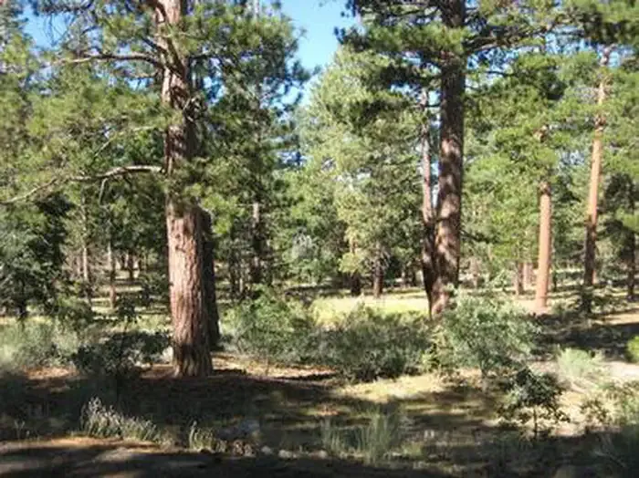 Lobo GroupCampingPhoto: Recreation.gov (RIDB) / public domain3.2 mi
 San GorgonioSaltwater fishing3.6 mi
Source: Roamze catalog (indexable pages within 10 miles, PostGIS distance)
 Santa Ana River TrailMountain biking · ~4 min drivePhoto: Basar, CC BY-SA 3.0 (via Wikimedia Commons)
 Santa Ana River Trail B SpurMountain biking · ~5 min drivePhoto: inkknife_2000 (7.5 million views +), CC BY-SA 2.0 (via Wikimedia Commons)Santa Ana River TrailMountain biking · ~6 min drivePhoto: Basar, CC BY-SA 3.0 (via Wikimedia Commons)Rio MonteMountain biking · ~6 min drivePhoto: inkknife_2000 (7.5 million views +), CC BY-SA 2.0 (via Wikimedia Commons)
 Santa Ana River Trail D SpurMountain biking · ~6 min drivePhoto: inkknife_2000 (7.5 million views +), CC BY-SA 2.0 (via Wikimedia Commons)
Map and trail data © OpenStreetMap contributors
