Five Lakes Basin
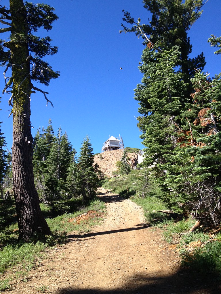
 Photo: ray_explores from Sacramento, CA, USA, CC BY 2.0 (via Wikimedia Commons)
- 0.9 mi
- distance
- 561 ft
- climb
- Jun–Aug
- best months
Caution at last check
Agency alerts are in effect for this area; weather is marginal · USFS, OpenWeather · checked 14 h ago
Is Five Lakes Basin open right now?
Alert in the area
The Forest Service lists an alert for Tahoe National Forest.
Camping and Campfire Restrictions-Truckee and Sierraville Districts
Agency alert covering Tahoe National Forest · Order 17-25-05 · USFS · Tahoe National Forest
As of · Source: USFS · Tahoe National Forest. Agencies don't list every closure — check before you go.
Five Lakes Basin is a 0.93-mile trail in the Grouse Ridge trail system at Grouse Ridge, California. The route gains 32 feet of elevation within its short distance.
Local outfitters
- Alpenglow Expeditions23 mi away
- West Shore Sports34 mi away
Not on Roamze yet. Their page has how to reach them.
- 13E10-C38Mountain biking · ~6 min drivePhoto: ray_explores from Sacramento, CA, USA, CC BY 2.0 (via Wikimedia Commons)
- Hole in the GroundMountain biking · ~14 min drive
- Lower Lola Montez TrailMountain biking · ~15 min drive
- Lower Lola Montez TrailMountain biking · ~16 min drive
- 13E10-C30Mountain biking · ~6 min drivePhoto: ray_explores from Sacramento, CA, USA, CC BY 2.0 (via Wikimedia Commons)
- Lower Lola Montez TrailMountain biking · ~15 min drive
- Hole in the GroundMountain biking · ~19 min drive
 Glacier Lakes BasinMountain biking · ~9 min drivePhoto: Missvain, CC BY 4.0 (via Wikimedia Commons)
- Lower Lola Montez TrailMountain biking · ~16 min drive
- SterlingMountain biking · ~9 min drivePhoto: Missvain, CC BY 4.0 (via Wikimedia Commons)
Best time to visit Five Lakes Basin
Best months: June–August. Best months have typical highs of 55–85 °F, lows of 30 °F or warmer (32 °F where the station doesn't record snow), at most one snowy day and no more than 12 wet days.
Jan
40° / 15°
Feb
41° / 15°
Mar
48° / 19°
Apr
53° / 22°
May
62° / 28°
Jun
72° / 32°
Jul
80° / 37°
Aug
79° / 35°
Sep
73° / 31°
Oct
61° / 24°
Nov
49° / 20°
Dec
39° / 14°
Typical high / low (°F) and days with rain or snow, 1991–2020. Measured at Sagehen Creek, CA, 17.1 mi away at 6,337 ft. The station sits about 1,200 ft lower than this place, so expect it a little cooler here. This station doesn't record snowfall. Source: NOAA NCEI U.S. Climate Normals 1991–2020.

Map and trail data © OpenStreetMap contributors
