Castle Peak
Campground
Campground · < 0.1 mi from the trail
Alert in the area
The Forest Service lists an alert for Tahoe National Forest.
Camping and Campfire Restrictions-Truckee and Sierraville Districts
Agency alert covering Tahoe National Forest · Order 17-25-05 · USFS · Tahoe National Forest
As of · Source: USFS · Tahoe National Forest. Agencies don't list every closure — check before you go.
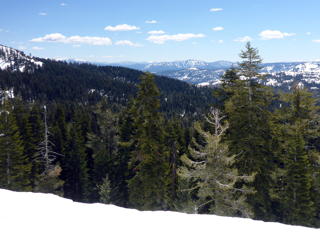
Hole in the Ground is a mountain biking route in California's Tahoe National Forest, within the Truckee Ranger District. It's an out-and-back climb of about 2.8 miles, with a low point at 7,519 feet and a high at 8,065 feet, and it gains about 530 feet in elevation. The route is rated easy. The Forest Service manages the land. Castle Peak Trail begins just 0.1 mile away, and the Pacific Crest Trail passes within about a mile. Climbers can head to Overking Boulder and Porcupine Boulders, both roughly a mile off.
Castle Peak
Campground
Donner Day Lodge
Restaurant
Places © OpenStreetMap contributors
More in Sunnyside-Tahoe CityNot on Roamze yet. Their page has how to reach them.
 Photo: Scott Thompson, CC BY 3.0 (via Wikimedia Commons)
Sandridge Lake
~2 min drive
0.48-mile trail with 139 ft gain at Donner Peak Trailhead
RIDE
Red Dot Trail
~3 min drive
1.43-mile out-and-back singletrack with 386 ft gain in California
RIDE
Lower Lola Montez Trail
~5 min drive
0.51-mile easy singletrack in California with 65 ft elevation gain.
RIDE
West Mustang Sally
~7 min drive
740 ft gain, 0.80 mi out and back singletrack in California
 Photo: Scott Thompson, CC BY 3.0 (via Wikimedia Commons)
Lakefront
~3 min drive
Lakefront is a 0.14-mile trail at Donner Peak Trailhead with 34 ft of elevation gain.
RIDE
Lower Lola Montez Trail
~4 min drive
0.26-mile out-and-back singletrack in California with 14 ft of elevation gain.
RIDE
Switchback
~6 min drive
0.95-mile easy singletrack with 186 ft gain in California
RIDE
Lower Lola Montez Trail
~4 min drive
0.24-mile hard singletrack out and back in California with 302 ft gain.
 Photo: Scott Thompson, CC BY 3.0 (via Wikimedia Commons)
Warren Lake
~4 min drive
3.07-mile trail at Donner Peak Trailhead with 1,123 ft of elevation gain.
RIDE
Lower Lola Montez Trail
~4 min drive
0.14-mile out-and-back singletrack with 104 ft gain in California
Map and trail data © OpenStreetMap contributors