Oakwilde
Campground
Campground · 1.8 mi from the trail
 Photo: cdsessums, CC BY-SA 2.0 (via Flickr)
Alert in the area
The Forest Service lists 7 alerts for Angeles National Forest.
Rincon-Redbox Road (2N24) Closure
Agency alert covering Angeles National Forest · Order 05-01-26-13 · USFS · Angeles National Forest
Fire Danger Level Elevated to "Very High"
Agency alert covering Angeles National Forest · USFS · Angeles National Forest
San Gabriel Canyon OHV Area Prohibitions
Agency alert covering Angeles National Forest · Order 05-01-26-09 · USFS · Angeles National Forest
San Dimas Experimental Forest Closure
Agency alert covering Angeles National Forest · USFS · Angeles National Forest
Eaton Fire Area Closure
Agency alert covering Angeles National Forest · Order 05-01-26-04 · USFS · Angeles National Forest
As of · Source: USFS · Angeles National Forest. Agencies don't list every closure — check before you go.
World of Chaparral is a moderate hike in the Angeles National Forest, within the Los Angeles Gateway Ranger District of California. It is a 3.4-mile out-and-back route, starting at Georges Gap Trailhead, with an elevation gain of 366 feet, from a low point of about 3,245 feet to a high of roughly 3,637 feet. The trail is natural-surfaced and open year-round. Bikes and horses are both allowed on this trail, which makes it a flexible choice for riders and equestrians as well as hikers. The trailhead sits at Georges Gap, and the surrounding chaparral setting gives the route its name. The World of Chaparral lies close to several other trails. Hoyt Mountain Trail is about 0.2 miles away, and Hoyt Mt. to Pines Picnic Trail is about 0.3 miles away. Trees for Tomorrow is about 0.9 miles off. For an overnight stay, Bear Canyon campground is about 2.9 miles away.
Oakwilde
Campground
 If it rainsDoncram, CC BY-SA 3.0 · Wikimedia Commons
Historic American Craftsman era stone building in Tujunga, Los Angeles County, California
Places © OpenStreetMap contributors, Places © Overture Maps Foundation · Photos: Doncram, CC BY-SA 3.0 (commons)
More in ActonHoyt Mountain TrailHikingPhoto: cdsessums, CC BY-SA 2.0 (via Flickr)0.2 mi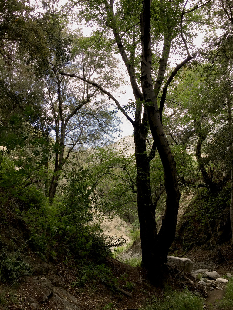 Hoyt Mt. to Pines Picnic TrailHikingPhoto: cdsessums, CC BY-SA 2.0 (via Flickr)0.3 mi
 Trees for TomorrowHikingPhoto: RuggyBearLA, CC BY 2.0 (via Flickr)0.9 mi
 Big Tujunga CreekCanoeingPhoto: MajaTrochimczyk, CC BY 3.0 us (via Wikimedia Commons)3.2 mi
Source: Roamze catalog (indexable pages within 10 miles, PostGIS distance)
Hoyt Mountain TrailHiking · Next doorPhoto: cdsessums, CC BY-SA 2.0 (via Flickr)Trees for TomorrowHiking · ~2 min drivePhoto: RuggyBearLA, CC BY 2.0 (via Flickr) Dark Canyon TrailHiking · ~3 min drivePhoto: Henrik Kibak, CC BY 4.0 (via Wikimedia Commons)
 Gabrielino TrailHiking · ~5 min drivePhoto: Pintsmasher, CC BY 3.0 (via Wikimedia Commons)
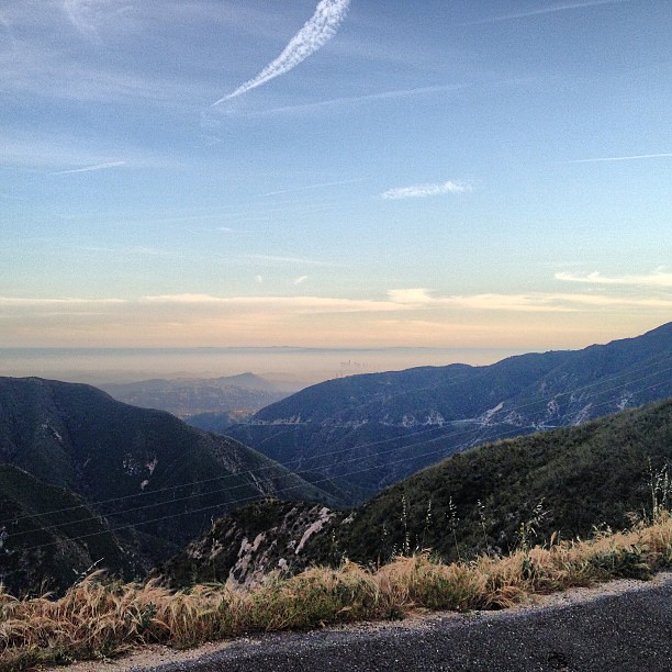 BurtonHiking · ~3 min drivePhoto: LouevilBelle, CC BY 2.0 (via Flickr)
 Nature's Canteen TrailHiking · ~2 min drivePhoto: mjhbower, CC BY-SA 2.0 (via Flickr)Colby CanyonHiking · ~4 min drivePhoto: mjhbower, CC BY-SA 2.0 (via Flickr)
 Strawberry Peak TrailHiking · ~6 min drivePhoto: mjhbower, CC BY-SA 2.0 (via Flickr)La Canada Open Space TrailHiking · ~6 min drivePhoto: Pintsmasher, CC BY 3.0 (via Wikimedia Commons)Old Dark Canyon TrailHiking · ~3 min drivePhoto: Henrik Kibak, CC BY 4.0 (via Wikimedia Commons)
Also worth it near here
 Hoyt Mt. to Pines Picnic TrailMountain biking · Next doorPhoto: RuggyBearLA, CC BY 2.0 (via Wikimedia Commons)
 Strawberry PeakSummit · ~5 min drivePhoto: Justin, CC BY-SA 2.0 (via Wikimedia Commons)Big Tujunga CreekCanoeing · ~5 min drivePhoto: MajaTrochimczyk, CC BY 3.0 us (via Wikimedia Commons)
