Gould Mesa
Campground
Campground · 1.2 mi from the trail
 Photo: Pintsmasher, CC BY 3.0 (via Wikimedia Commons)
La Canada Open Space Trail is a moderate hike in California, about 0.6 miles from the town of Altacanyada. The trail is an out-and-back route of about 3.1 miles, with a total climb of roughly 1,909 feet. The one-way gain is about 1,077 feet, and the steepest stretch comes at about 0.58 miles in, where the grade reaches 30%. The trail starts at an elevation of about 1,919 feet and reaches a high point of about 2,553 feet. The climb is rolling, and the route drops back to the starting point on the return. Nearby, the Cross Town Trail -abandoned segment- lies about 0.4 miles away, and the Gould Canyon Trail is about 0.8 miles off. Gould Mesa campground is about 1.2 miles away, and the Gabrielino Trail is about 1.4 miles away.
Gould Mesa
Campground
 If it rainsBoothsift, CC BY-SA 4.0 · Wikimedia Commons
Places © OpenStreetMap contributors, Places © Overture Maps Foundation · Photos: Boothsift, CC BY-SA 4.0 (commons)
More in ActonCross Town Trail -abandoned segment-HikingPhoto: Pintsmasher, CC BY 3.0 (via Wikimedia Commons)0.4 miGabrielino TrailHikingPhoto: Pintsmasher, CC BY 3.0 (via Wikimedia Commons)1.4 mi Big Tujunga CreekCanoeingPhoto: MajaTrochimczyk, CC BY 3.0 us (via Wikimedia Commons)4.8 mi
Source: Roamze catalog (indexable pages within 10 miles, PostGIS distance)
Cross Town Trail -abandoned segment-Hiking · Next doorPhoto: Pintsmasher, CC BY 3.0 (via Wikimedia Commons)Gabrielino TrailHiking · ~2 min drivePhoto: Pintsmasher, CC BY 3.0 (via Wikimedia Commons) Dark Canyon TrailHiking · ~3 min drivePhoto: Henrik Kibak, CC BY 4.0 (via Wikimedia Commons)
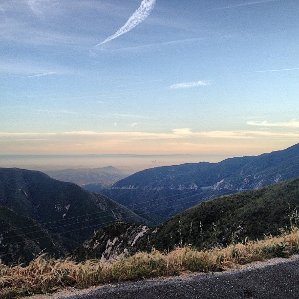 BurtonHiking · ~4 min drivePhoto: LouevilBelle, CC BY 2.0 (via Flickr)
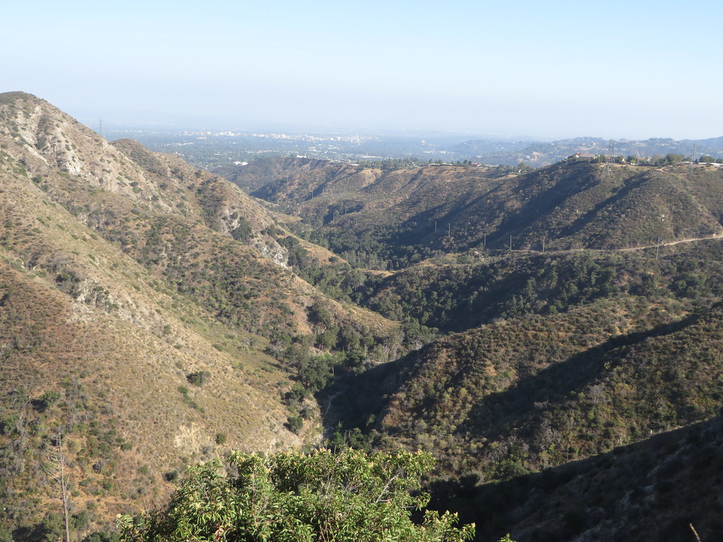 Station Ridge TrailHiking · ~3 min drivePhoto: Ken Lund, CC BY-SA 2.0 (via Flickr)
 El Prieto TrailHiking · ~4 min drivePhoto: feverblue, CC BY-SA 2.0 (via Flickr)
 Cerro Negro TrailHiking · ~4 min drivePhoto: Demi Lucas, CC BY 3.0 (via Wikimedia Commons)Gabrielino TrailHiking · ~3 min drivePhoto: feverblue, CC BY-SA 2.0 (via Flickr)
 Pickens TrailHiking · ~5 min drivePhoto: mjhbower, CC BY-SA 2.0 (via Flickr)Millard Canyon Crest TrailHiking · ~4 min drivePhoto: feverblue, CC BY-SA 2.0 (via Flickr)
Map and trail data © OpenStreetMap contributors

